Saint-Jean-de-la-Ruelle (Saint-Jean-de-la-Ruelle)

- commune in Loiret, France
- Country:

- Postal Code: 45140
- Coordinates: 47° 54' 47" N, 1° 52' 24" E


- GPS tracks (wikiloc): [Link]
- Area: 6.1 sq km
- Population: 16365
- Web site: http://www.ville-saintjeandelaruelle.fr
- Wikipedia en: wiki(en)
- Wikipedia: wiki(fr)
- Wikidata storage: Wikidata: Q1423260
- Wikipedia Commons Category: [Link]
- Freebase ID: [/m/03nwhyf]
- GeoNames ID: Alt: [2979316]
- SIREN number: [214502858]
- BnF ID: [15260677p]
- ISNI: Alt: [0000 0001 2174 6010]
- INSEE municipality code: 45285
Shares border with regions:

La Chapelle-Saint-Mesmin
- commune in Loiret, France
- Country:
- Postal Code: 45380
- Coordinates: 47° 53' 23" N, 1° 50' 23" E
- GPS tracks (wikiloc): [Link]
- Area: 8.96 sq km
- Population: 10170
- Web site: [Link]


Saint-Pryvé-Saint-Mesmin
- commune in Loiret, France
- Country:
- Postal Code: 45750
- Coordinates: 47° 52' 51" N, 1° 52' 4" E
- GPS tracks (wikiloc): [Link]
- Area: 8.87 sq km
- Population: 5483
- Web site: [Link]


Ingré
- commune in Loiret, France
- Country:
- Postal Code: 45140
- Coordinates: 47° 55' 14" N, 1° 49' 27" E
- GPS tracks (wikiloc): [Link]
- Area: 20.82 sq km
- Population: 8740
- Web site: [Link]

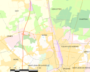
Saran
- commune in Loiret, France
- Country:
- Postal Code: 45770
- Coordinates: 47° 57' 5" N, 1° 52' 49" E
- GPS tracks (wikiloc): [Link]
- Area: 19.65 sq km
- Population: 16259
- Web site: [Link]


Orléans
- city in north-central France
- Country:
- Postal Code: 45100; 45000
- Coordinates: 47° 54' 8" N, 1° 54' 15" E
- GPS tracks (wikiloc): [Link]
- AboveSeaLevel: 116 м m
- Area: 27.48 sq km
- Population: 114644
- Web site: [Link]