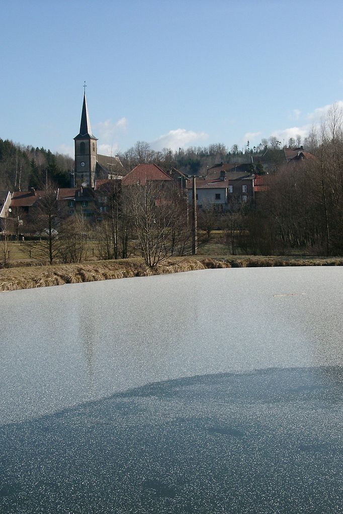
Saint-Sauveur (Saint-Sauveur)

- commune in Meurthe-et-Moselle, France
- Country:

- Postal Code: 54480
- Coordinates: 48° 32' 2" N, 6° 58' 25" E


- GPS tracks (wikiloc): [Link]
- Area: 19.16 sq km
- Population: 52
- Wikipedia en: wiki(en)
- Wikipedia: wiki(fr)
- Wikidata storage: Wikidata: Q227488
- Wikipedia Commons Category: [Link]
- Freebase ID: [/m/03qdm_1]
- Freebase ID: [/m/03qdm_1]
- GeoNames ID: Alt: [6436850]
- GeoNames ID: Alt: [6436850]
- SIREN number: [215404880]
- SIREN number: [215404880]
- BnF ID: [152645552]
- BnF ID: [152645552]
- INSEE municipality code: 54488
- INSEE municipality code: 54488
Shares border with regions:

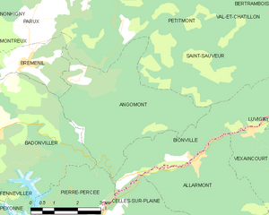
Angomont
- commune in Meurthe-et-Moselle, France
- Country:
- Postal Code: 54540
- Coordinates: 48° 30' 58" N, 6° 56' 48" E
- GPS tracks (wikiloc): [Link]
- Area: 17.28 sq km
- Population: 81


Grandfontaine
- commune in Bas-Rhin, France
- Country:
- Postal Code: 67130
- Coordinates: 48° 29' 33" N, 7° 9' 39" E
- GPS tracks (wikiloc): [Link]
- Area: 39.52 sq km
- Population: 423
Parux
- commune in Meurthe-et-Moselle, France
- Country:
- Postal Code: 54480
- Coordinates: 48° 32' 20" N, 6° 55' 18" E
- GPS tracks (wikiloc): [Link]
- Area: 4.38 sq km
- Population: 69

Val-et-Châtillon
- commune in Meurthe-et-Moselle, France
- Country:
- Postal Code: 54480
- Coordinates: 48° 33' 31" N, 6° 57' 58" E
- GPS tracks (wikiloc): [Link]
- Area: 18.57 sq km
- Population: 603
Petitmont
- commune in Meurthe-et-Moselle, France
- Country:
- Postal Code: 54480
- Coordinates: 48° 33' 26" N, 6° 57' 24" E
- GPS tracks (wikiloc): [Link]
- Area: 17.6 sq km
- Population: 324

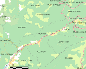
Bionville
- commune in Meurthe-et-Moselle, France
- Country:
- Postal Code: 54540
- Coordinates: 48° 29' 2" N, 7° 0' 39" E
- GPS tracks (wikiloc): [Link]
- Area: 12.14 sq km
- Population: 119


Bréménil
- commune in Meurthe-et-Moselle, France
- Country:
- Postal Code: 54540
- Coordinates: 48° 31' 24" N, 6° 55' 7" E
- GPS tracks (wikiloc): [Link]
- Area: 5.6 sq km
- Population: 110