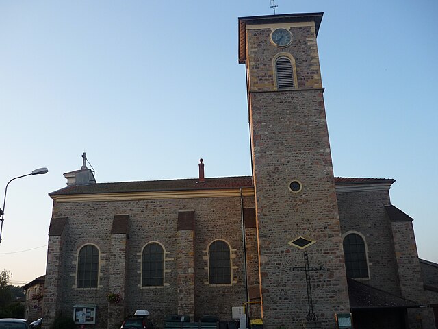
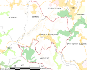
Saint-Victor-sur-Rhins (Saint-Victor-sur-Rhins)
- commune in Loire, France
- Country:

- Postal Code: 42630
- Coordinates: 46° 0' 15" N, 4° 16' 54" E


- GPS tracks (wikiloc): [Link]
- Area: 11.43 sq km
- Population: 1174
- Wikipedia en: wiki(en)
- Wikipedia: wiki(fr)
- Wikidata storage: Wikidata: Q1106334
- Wikipedia Commons Category: [Link]
- Freebase ID: [/m/03nw97x]
- Freebase ID: [/m/03nw97x]
- GeoNames ID: Alt: [6612539]
- GeoNames ID: Alt: [6612539]
- SIREN number: [214202939]
- SIREN number: [214202939]
- BnF ID: [152598598]
- BnF ID: [152598598]
- VIAF ID: Alt: [239528344]
- VIAF ID: Alt: [239528344]
- INSEE municipality code: 42293
- INSEE municipality code: 42293
Shares border with regions:


Régny
- commune in Loire, France
- Country:

- Postal Code: 42630
- Coordinates: 45° 59' 27" N, 4° 12' 53" E


- GPS tracks (wikiloc): [Link]
- Area: 13.8 sq km
- Population: 1543


Montagny
- commune in Loire, France
- Country:

- Postal Code: 42840
- Coordinates: 46° 1' 58" N, 4° 14' 9" E


- GPS tracks (wikiloc): [Link]
- AboveSeaLevel: 490 м m
- Area: 25.57 sq km
- Population: 1071
- Web site: [Link]


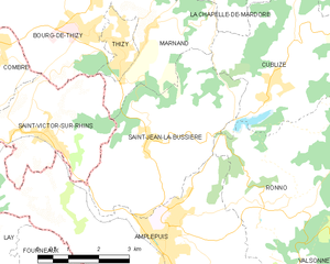
Saint-Jean-la-Bussière
- commune in Rhône, France
- Country:

- Postal Code: 69550
- Coordinates: 46° 0' 2" N, 4° 19' 25" E


- GPS tracks (wikiloc): [Link]
- Area: 15.48 sq km
- Population: 1212


Amplepuis
- commune in Rhône, France
- Country:

- Postal Code: 69550
- Coordinates: 45° 58' 21" N, 4° 19' 49" E


- GPS tracks (wikiloc): [Link]
- Area: 38.44 sq km
- Population: 5072
- Web site: [Link]


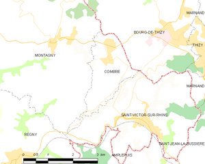
Combre
- commune in Loire, France
- Country:

- Postal Code: 42840
- Coordinates: 46° 1' 32" N, 4° 15' 49" E


- GPS tracks (wikiloc): [Link]
- Area: 4.01 sq km
- Population: 436
- Web site: [Link]
