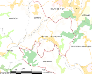
canton of Saint-Symphorien-de-Lay (canton de Saint-Symphorien-de-Lay)
- canton of France
- Country:

- Capital: Saint-Symphorien-de-Lay
- Coordinates: 45° 56' 39" N, 4° 11' 56" E


- GPS tracks (wikiloc): [Link]
- Wikipedia en: wiki(en)
- Wikipedia: wiki(fr)
- Wikidata storage: Wikidata: Q1669084
- INSEE canton code: [4232]
Includes regions:


Saint-Priest-la-Roche
- commune in Loire, France
- Country:
- Postal Code: 42590
- Coordinates: 45° 54' 46" N, 4° 5' 37" E
- GPS tracks (wikiloc): [Link]
- Area: 13.5 sq km
- Population: 345

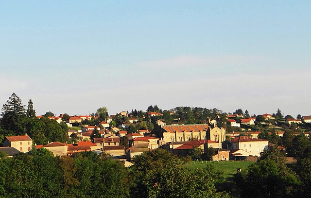
Saint-Symphorien-de-Lay
- commune in Loire, France
- Country:
- Postal Code: 42470
- Coordinates: 45° 56' 52" N, 4° 12' 42" E
- GPS tracks (wikiloc): [Link]
- Area: 33.57 sq km
- Population: 1897

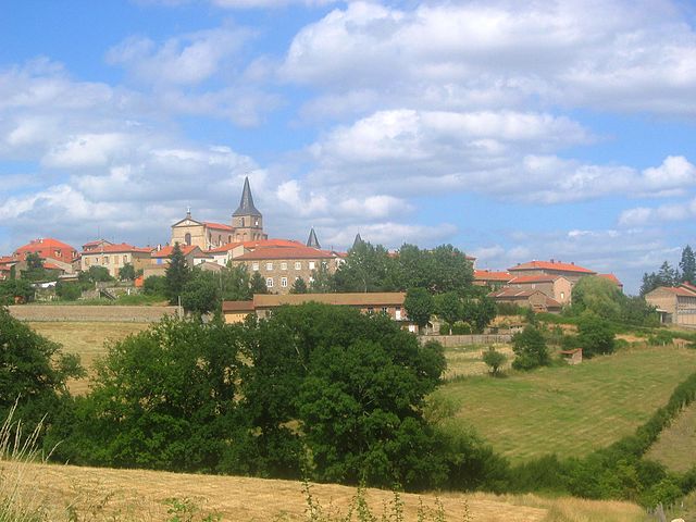
Saint-Victor-sur-Rhins
- commune in Loire, France
- Country:
- Postal Code: 42630
- Coordinates: 46° 0' 15" N, 4° 16' 54" E
- GPS tracks (wikiloc): [Link]
- Area: 11.43 sq km
- Population: 1174


Saint-Just-la-Pendue
- commune in Loire, France
- Country:
- Postal Code: 42540
- Coordinates: 45° 53' 39" N, 4° 14' 35" E
- GPS tracks (wikiloc): [Link]
- Area: 19.88 sq km
- Population: 1658
- Web site: [Link]


Régny
- commune in Loire, France
- Country:
- Postal Code: 42630
- Coordinates: 45° 59' 27" N, 4° 12' 53" E
- GPS tracks (wikiloc): [Link]
- Area: 13.8 sq km
- Population: 1543


Lay
- commune in Loire, France
- Country:
- Postal Code: 42470
- Coordinates: 45° 57' 20" N, 4° 13' 7" E
- GPS tracks (wikiloc): [Link]
- Area: 12.85 sq km
- Population: 739


Saint-Cyr-de-Favières
- commune in Loire, France
- Country:
- Postal Code: 42132
- Coordinates: 45° 58' 0" N, 4° 5' 41" E
- GPS tracks (wikiloc): [Link]
- Area: 14.11 sq km
- Population: 867
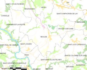
Neulise
- commune in Loire, France
- Country:
- Postal Code: 42590
- Coordinates: 45° 54' 8" N, 4° 10' 48" E
- GPS tracks (wikiloc): [Link]
- Area: 22.99 sq km
- Population: 1324
- Web site: [Link]


Machézal
- commune in Loire, France
- Country:
- Postal Code: 42114
- Coordinates: 45° 55' 17" N, 4° 18' 9" E
- GPS tracks (wikiloc): [Link]
- Area: 13.88 sq km
- Population: 396

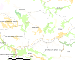
Pradines
- commune in Loire, France
- Country:
- Postal Code: 42630
- Coordinates: 45° 59' 54" N, 4° 10' 35" E
- GPS tracks (wikiloc): [Link]
- Area: 11.6 sq km
- Population: 785