Schwindratzheim (Schwindratzheim)
- commune in Bas-Rhin, France
- Country:

- Postal Code: 67270
- Coordinates: 48° 45' 25" N, 7° 36' 6" E


- GPS tracks (wikiloc): [Link]
- Area: 9.14 sq km
- Population: 1620
- Wikipedia en: wiki(en)
- Wikipedia: wiki(fr)
- Wikidata storage: Wikidata: Q21295
- Wikipedia Commons Category: [Link]
- Freebase ID: [/m/03m9c2q]
- Freebase ID: [/m/03m9c2q]
- GeoNames ID: Alt: [2975419]
- GeoNames ID: Alt: [2975419]
- SIREN number: [216704601]
- SIREN number: [216704601]
- BnF ID: [152716027]
- BnF ID: [152716027]
- VIAF ID: Alt: [168065712]
- VIAF ID: Alt: [168065712]
- GND ID: Alt: [4701058-7]
- GND ID: Alt: [4701058-7]
- Library of Congress authority ID: Alt: [n93112024]
- Library of Congress authority ID: Alt: [n93112024]
- INSEE municipality code: 67460
- INSEE municipality code: 67460
Shares border with regions:
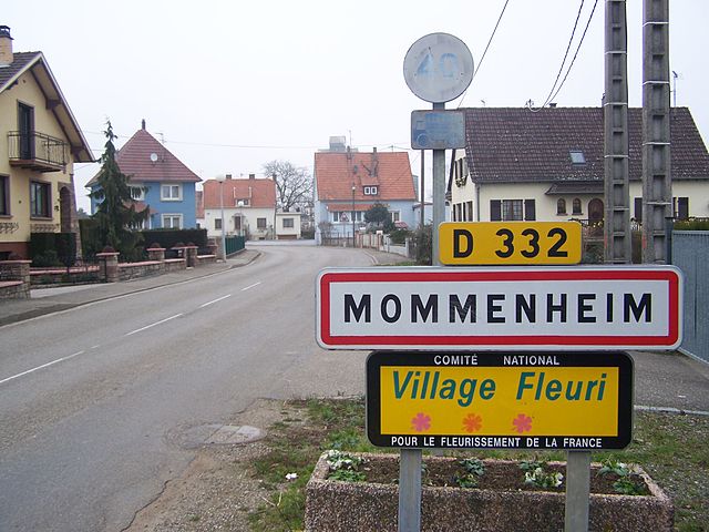

Mommenheim
- commune in Bas-Rhin, France
- Country:

- Postal Code: 67670
- Coordinates: 48° 45' 27" N, 7° 38' 39" E


- GPS tracks (wikiloc): [Link]
- Area: 8.16 sq km
- Population: 1793


Mutzenhouse
- commune in Bas-Rhin, France
- Country:

- Postal Code: 67270
- Coordinates: 48° 44' 27" N, 7° 35' 19" E


- GPS tracks (wikiloc): [Link]
- Area: 2.21 sq km
- Population: 439
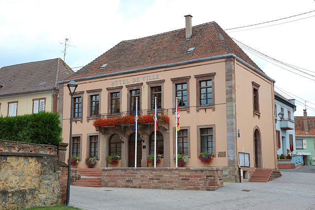

Hochfelden
- former commune in Bas-Rhin, France
- Country:

- Postal Code: 67270
- Coordinates: 48° 45' 34" N, 7° 34' 12" E


- GPS tracks (wikiloc): [Link]
- Area: 12.09 sq km
- Population: 3516

Minversheim
- commune in Bas-Rhin, France
- Country:

- Postal Code: 67270
- Coordinates: 48° 47' 7" N, 7° 37' 20" E


- GPS tracks (wikiloc): [Link]
- Area: 5.45 sq km
- Population: 676

Bossendorf
- commune in Bas-Rhin, France
- Country:

- Postal Code: 67270
- Coordinates: 48° 46' 51" N, 7° 33' 32" E


- GPS tracks (wikiloc): [Link]
- Area: 3.98 sq km
- Population: 401


Alteckendorf
- commune in Bas-Rhin, France
- Country:

- Postal Code: 67270
- Coordinates: 48° 47' 34" N, 7° 35' 40" E


- GPS tracks (wikiloc): [Link]
- Area: 5.72 sq km
- Population: 900
- Web site: [Link]
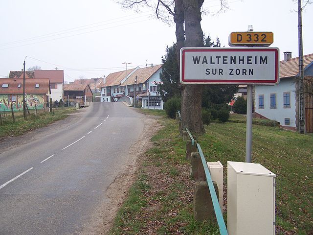

Waltenheim-sur-Zorn
- commune in Bas-Rhin, France
- Country:

- Postal Code: 67670
- Coordinates: 48° 44' 48" N, 7° 37' 46" E


- GPS tracks (wikiloc): [Link]
- Area: 5.04 sq km
- Population: 653
