Seengen (Seengen)
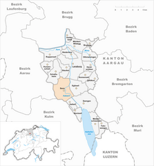
- municipality in Switzerland
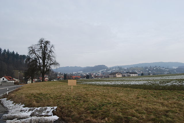
Seengen, located in the canton of Aargau in Switzerland, offers picturesque landscapes and a variety of hiking opportunities suitable for different skill levels. From gentle lakeside walks to more challenging trails in the surrounding hills, there’s something for everyone.
Popular Hiking Trails:
-
Seengen Lake Loop: This is a relatively easy hike around the scenic Lake Seengen. The trail offers beautiful views of the water, opportunities for bird watching, and plenty of spots for a picnic. The loop is suitable for families and can be completed in a few hours.
-
Aarau-Seengen Trail: This trail connects the city of Aarau with Seengen and provides a mix of forest paths and open fields. Along the way, hikers can enjoy views of the Aargau countryside and perhaps stop at a few local farms.
-
Wasescha Trails: Not far from Seengen, the Wasescha region offers more challenging hikes with steeper inclines and rugged terrain. These trails are ideal for those looking for a more adventurous experience and offer great panoramas of the surrounding area.
Tips for Hiking in Seengen:
- Weather: Always check the weather forecast before heading out. Conditions can change rapidly in the mountains.
- Footwear: Good hiking boots are recommended, especially for more challenging trails.
- Hydration: Carry sufficient water and snacks, particularly on longer hikes.
- Maps and Navigation: Having a local hiking map or a reliable GPS can enhance your hiking experience, helping you discover lesser-known paths.
- Respect Nature: Stay on marked trails and follow the Leave No Trace principles to preserve the natural environment.
Additional Attractions:
While in Seengen, you may also want to explore the local culture by visiting nearby towns or enjoying local cuisine in one of the restaurants. The region is rich in history, with interesting sites to explore after a day of hiking.
Remember to adjust your plans according to your fitness level and the time you have available, and enjoy the beautiful Swiss landscapes!
- Country:

- Postal Code: 5707
- Local Dialing Code: 062
- Licence Plate Code: AG
- Coordinates: 47° 19' 45" N, 8° 12' 32" E


- GPS tracks (wikiloc): [Link]
- AboveSeaLevel: 520 м m
- Area: 10.35 sq km
- Population: 3951
- Web site: http://www.seengen.ch
- Wikipedia en: wiki(en)
- Wikipedia: wiki(de)
- Wikidata storage: Wikidata: Q65004
- Wikipedia Commons Category: [Link]
- Freebase ID: [/m/0fzk6b]
- GeoNames ID: Alt: [7287137]
- VIAF ID: Alt: [155111777]
- OSM relation ID: [1684424]
- Quora topic ID: [Seengen]
- HDS ID: [1773]
- Swiss municipality code: [4208]
Shares border with regions:


Villmergen
- municipality in Switzerland
Villmergen, located in the Aargau region of Switzerland, offers a beautiful setting for hiking enthusiasts. While it's a small municipality, it provides access to scenic trails that showcase the charming landscapes of the Swiss countryside....
- Country:

- Postal Code: 5612
- Local Dialing Code: 056
- Licence Plate Code: AG
- Coordinates: 47° 21' 4" N, 8° 14' 28" E


- GPS tracks (wikiloc): [Link]
- AboveSeaLevel: 433 м m
- Area: 11.94 sq km
- Population: 7341
- Web site: [Link]

Boniswil
- municipality in Switzerland
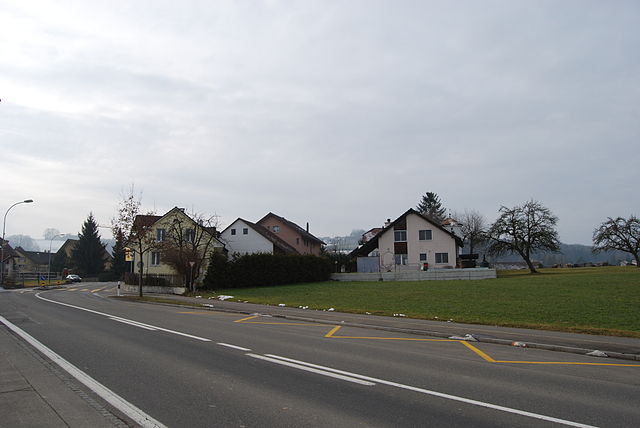
Boniswil, a charming village located in the canton of Aargau in Switzerland, offers scenic landscapes and various hiking opportunities. While it is not as widely known as some other Swiss hiking destinations, it provides a more serene experience amidst nature....
- Country:

- Postal Code: 5706
- Local Dialing Code: 062
- Licence Plate Code: AG
- Coordinates: 47° 18' 43" N, 8° 11' 27" E


- GPS tracks (wikiloc): [Link]
- AboveSeaLevel: 467 м m
- Area: 2.78 sq km
- Population: 1398
- Web site: [Link]
Seon
- municipality in Switzerland
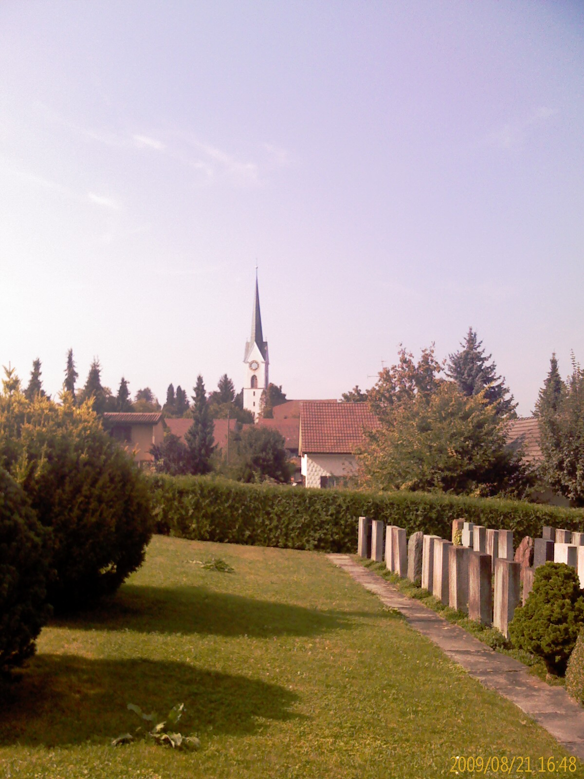
Seon, located in the Aargau region of Switzerland, is a charming area that offers a range of hiking opportunities. The region is characterized by its picturesque landscapes, including rolling hills, forests, and scenic rivers. Here are some highlights for those interested in hiking in and around Seon:...
- Country:

- Postal Code: 5703
- Local Dialing Code: 062
- Licence Plate Code: AG
- Coordinates: 47° 20' 45" N, 8° 9' 35" E


- GPS tracks (wikiloc): [Link]
- AboveSeaLevel: 445 м m
- Area: 9.61 sq km
- Population: 5227
- Web site: [Link]

Birrwil
- municipality in Switzerland
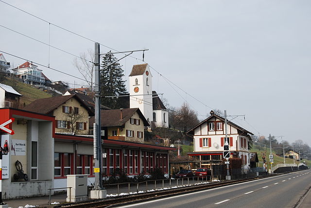
Birrwil is a charming municipality located in the canton of Aargau in Switzerland, surrounded by beautiful landscapes that make it an appealing destination for hiking enthusiasts. Here are some highlights for hiking in and around Birrwil:...
- Country:

- Postal Code: 5708
- Local Dialing Code: 062
- Licence Plate Code: AG
- Coordinates: 47° 17' 28" N, 8° 11' 33" E


- GPS tracks (wikiloc): [Link]
- AboveSeaLevel: 600 м m
- Area: 5.53 sq km
- Population: 1172
- Web site: [Link]


Dintikon
- municipality in Switzerland
Dintikon is a charming village located in the canton of Aargau, Switzerland. It offers picturesque landscapes and various hiking opportunities for outdoor enthusiasts. Here are some key points about hiking in and around Dintikon:...
- Country:

- Postal Code: 5606
- Local Dialing Code: 056
- Licence Plate Code: AG
- Coordinates: 47° 21' 54" N, 8° 13' 45" E


- GPS tracks (wikiloc): [Link]
- AboveSeaLevel: 449 м m
- Area: 3.73 sq km
- Population: 2192
- Web site: [Link]

Egliswil
- municipality in Switzerland
Egliswil is a picturesque village located in Switzerland, nestled in the scenic Cantonal region of Aargau. It's surrounded by stunning landscapes, making it a wonderful destination for hiking enthusiasts....
- Country:

- Postal Code: 5704
- Local Dialing Code: 062
- Licence Plate Code: AG
- Coordinates: 47° 21' 6" N, 8° 11' 25" E


- GPS tracks (wikiloc): [Link]
- AboveSeaLevel: 483 м m
- Area: 6.29 sq km
- Population: 1407
- Web site: [Link]


Sarmenstorf
- municipality in Switzerland
Sarmenstorf is a charming village located in the canton of Aargau in Switzerland. The area surrounding Sarmenstorf offers beautiful landscapes and several hiking opportunities for outdoor enthusiasts. Here's what you can expect when hiking in and around Sarmenstorf:...
- Country:

- Postal Code: 5614
- Local Dialing Code: 056
- Licence Plate Code: AG
- Coordinates: 47° 18' 41" N, 8° 15' 10" E


- GPS tracks (wikiloc): [Link]
- AboveSeaLevel: 551 м m
- Area: 8.30 sq km
- Population: 2864
- Web site: [Link]


Meisterschwanden
- municipality in Switzerland
Meisterschwanden is a charming village located in the Swiss canton of Aargau, near Lake Hallwil. It offers a variety of hiking opportunities that cater to different skill levels and preferences. Here are some highlights of hiking in and around Meisterschwanden:...
- Country:

- Postal Code: 5616
- Local Dialing Code: 056
- Licence Plate Code: AG
- Coordinates: 47° 17' 46" N, 8° 13' 49" E


- GPS tracks (wikiloc): [Link]
- AboveSeaLevel: 497 м m
- Area: 6.86 sq km
- Population: 2938
- Web site: [Link]

