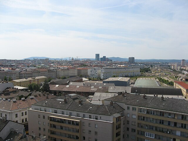
Simmering (Simmering)

- 11. district of Vienna
 Hiking in Simmering
Simmering is a district in the southeastern part of Vienna, and while it is primarily an urban area, there are some opportunities for enjoyable walks and light hiking in the vicinity. Here are some key points to consider for anyone wanting to explore hiking-like experiences in and around Simmering:
-
Nearby Nature Areas: While Simmering itself does not have extensive hiking trails, it is close to several parks and recreational areas. The nearby Wienerwald (Vienna Woods) offers a variety of hiking trails that can be accessed with a short drive or public transport.
-
Liesingbach and the Liesingtal: This area features pathways along the Liesing River which can be a nice flat hike ideal for families or those looking for a leisurely walk.
-
Hiking Paths: You can find paths leading to the hills of the southern Wienerwald that cater to a range of hiking experiences, from short strolls to more challenging hikes. The trails range from easy to moderate and often offer beautiful views over Vienna and the surrounding nature.
-
Public Transport Access: Vienna's efficient public transport system means you can easily reach many hiking trails. Consider taking the U-Bahn or tram to connect to more extensive hiking areas beyond Simmering.
-
Parks and Green Spaces: Within Simmering, you can find several parks such as the Simmeringer Wald, which is perfect for a more relaxed outdoor experience away from urban life.
-
Seasonal Considerations: Each season offers a different scenery and experience. Spring and summer bring lush greenery, while autumn provides colorful foliage. Winter hiking can be also appealing in the nearby woods.
-
Safety Measures: Always prepare adequately before heading out. Wear appropriate footwear, bring sufficient water, and check the weather forecast.
For those who enjoy hiking, while Simmering may not have the extensive trails found in more rural areas, there are still plenty of opportunities for outdoor exploration within a short distance!
- Country:

- Postal Code: 1110
- Licence Plate Code: W
- Coordinates: 48° 10' 12" N, 16° 27' 0" E


- GPS tracks (wikiloc): [Link]
- AboveSeaLevel: 156 м m
- Area: 23.27 sq km
- Population: 97333
- Web site: http://www.wien.gv.at/bezirke/simmering/
- Wikipedia en: wiki(en)
- Wikipedia: wiki(de)
- Wikidata storage: Wikidata: Q279028
- Wikipedia Commons Gallery: [Link]
- Wikipedia Commons Category: [Link]
- Freebase ID: [/m/01fl07]
- GeoNames ID: Alt: [2765027]
- VIAF ID: Alt: [125545188]
- GND ID: Alt: [4108817-7]
- archINFORM location ID: [3691]
- Library of Congress authority ID: Alt: [n84237809]
- MusicBrainz area ID: [7cf31ac6-aae7-4a5c-8c7d-88647be5bbce]
- Austrian municipality key: [91101]
Shares border with regions:


Donaustadt
- 22. district of Vienna, Austria
Hiking in Donaustadt
Donaustadt is a district in Vienna, Austria, located along the banks of the Danube River. It offers a unique combination of urban and natural landscapes, making it an attractive destination for hikers. Here are some highlights and tips for hiking in Donaustadt:...
- Country:
- Postal Code: 1220
- Licence Plate Code: W
- Coordinates: 48° 13' 5" N, 16° 28' 59" E
- GPS tracks (wikiloc): [Link]
- AboveSeaLevel: 152 м m
- Area: 102.29 sq km
- Web site: [Link]


Leopoldstadt
- 2nd municipal District of Vienna, Austria
Hiking in Leopoldstadt
Leopoldstadt is the second district of Vienna, Austria, known for its vibrant culture, parks, and proximity to the Danube River. While it may not offer traditional hiking trails found in mountainous regions, there are still great opportunities for outdoor activities and leisurely walks....
- Country:
- Postal Code: 1020
- Licence Plate Code: W
- Coordinates: 48° 12' 37" N, 16° 24' 44" E
- GPS tracks (wikiloc): [Link]
- AboveSeaLevel: 158 м m
- Area: 19.27 sq km
- Web site: [Link]
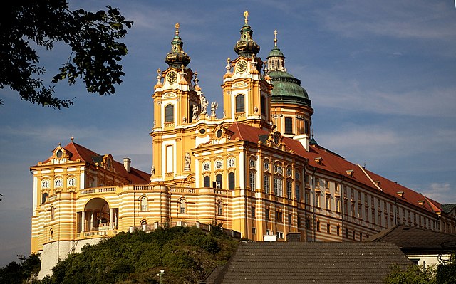

Lower Austria
- federated state of Austria
Hiking in Lower Austria
Lower Austria, known as Niederösterreich in German, is a fantastic destination for hiking enthusiasts. The region is characterized by its diverse landscapes, including rolling hills, vineyards, forests, and the scenic Danube River. Here are some highlights and popular hiking areas in Lower Austria:...
- Country:
- Capital: St. Pölten
- Coordinates: 48° 20' 0" N, 15° 45' 0" E
- GPS tracks (wikiloc): [Link]
- AboveSeaLevel: 279 м m
- Area: 19186.0 sq km
- Population: 1653419
- Web site: [Link]
Landstraße
- 3rd municipal District of Vienna, Austria
Hiking in Landstraße
Landstraße, located in Vienna, Austria, is not traditionally known for hiking, as it is primarily an urban district. However, there are plenty of walking and exploration opportunities in and around this area, especially for those interested in urban hikes or scenic walks....
- Country:
- Postal Code: 1030
- Licence Plate Code: W
- Coordinates: 48° 11' 47" N, 16° 23' 45" E
- GPS tracks (wikiloc): [Link]
- AboveSeaLevel: 178 м m
- Area: 7.39 sq km
- Web site: [Link]

Favoriten
- 10. district of Vienna
Hiking in Favoriten
Favoriten is the 10th district of Vienna, Austria, and while it is primarily known as an urban area, it offers some opportunities for hiking and outdoor activities. Here are a few points to consider if you're looking to hike in or near Favoriten:...
- Country:
- Postal Code: 1100
- Licence Plate Code: W
- Coordinates: 48° 9' 28" N, 16° 21' 33" E
- GPS tracks (wikiloc): [Link]
- AboveSeaLevel: 230 м m
- Area: 31.8 sq km
- Web site: [Link]