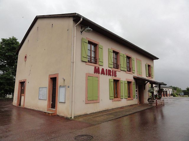
Thiaville-sur-Meurthe (Thiaville-sur-Meurthe)

- commune in Meurthe-et-Moselle, France
- Country:

- Postal Code: 54120
- Coordinates: 48° 24' 45" N, 6° 48' 30" E


- GPS tracks (wikiloc): [Link]
- Area: 4.47 sq km
- Population: 562
- Web site: http://www.thiaville.com
- Wikipedia en: wiki(en)
- Wikipedia: wiki(fr)
- Wikidata storage: Wikidata: Q213295
- Wikipedia Commons Category: [Link]
- Freebase ID: [/m/03qdnc2]
- Freebase ID: [/m/03qdnc2]
- GeoNames ID: Alt: [6436873]
- GeoNames ID: Alt: [6436873]
- SIREN number: [215405192]
- SIREN number: [215405192]
- BnF ID: [15264586b]
- BnF ID: [15264586b]
- VIAF ID: Alt: [155008805]
- VIAF ID: Alt: [155008805]
- Library of Congress authority ID: Alt: [n2010010188]
- Library of Congress authority ID: Alt: [n2010010188]
- INSEE municipality code: 54519
- INSEE municipality code: 54519
Shares border with regions:

Lachapelle
- commune in Meurthe-et-Moselle, France
- Country:
- Postal Code: 54120
- Coordinates: 48° 25' 9" N, 6° 47' 23" E
- GPS tracks (wikiloc): [Link]
- AboveSeaLevel: 284 м m
- Area: 10.17 sq km
- Population: 271
- Web site: [Link]


Sainte-Barbe
- commune in Vosges, France
- Country:
- Postal Code: 88700
- Coordinates: 48° 23' 47" N, 6° 43' 21" E
- GPS tracks (wikiloc): [Link]
- AboveSeaLevel: 360 м m
- Area: 30.38 sq km
- Population: 282


Raon-l'Étape
- commune in Vosges, France
- Country:
- Postal Code: 88110
- Coordinates: 48° 24' 21" N, 6° 50' 28" E
- GPS tracks (wikiloc): [Link]
- Area: 23.71 sq km
- Population: 6420
- Web site: [Link]

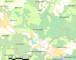
Bertrichamps
- commune in Meurthe-et-Moselle, France
- Country:
- Postal Code: 54120
- Coordinates: 48° 25' 45" N, 6° 47' 38" E
- GPS tracks (wikiloc): [Link]
- Area: 19.66 sq km
- Population: 1087