Thoirette (Thoirette)
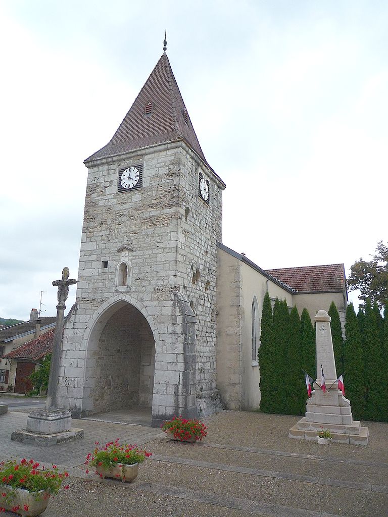
- former commune in Jura, France
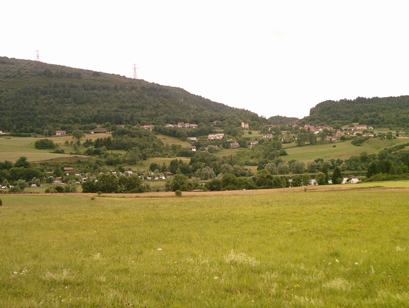
Thoirette is a small town located in the Jura region of France, known for its picturesque landscapes and outdoor activities, including hiking. The surrounding Jura mountains offer a variety of trails suitable for different levels of hikers. Here are some highlights and tips for hiking in Thoirette:
Scenic Trails
-
Local Paths: There are several marked trails around Thoirette that take you through beautiful forests, rolling hills, and alongside rivers. The area is known for its biodiversity, so keep an eye out for local flora and fauna.
-
Jura Mountains Trail: This is a longer hiking route that traverses the Jura mountains, offering stunning views of the valleys and distant peaks. Be sure to check for sections that pass through Thoirette.
-
Waterfalls and Natural Sites: Some trails lead to picturesque waterfalls and natural pools, perfect for a refreshing break during your hike.
Difficulty Levels
- Easy Trails: Ideal for families, these paths are relatively flat and well-maintained.
- Moderate to Difficult Trails: For seasoned hikers, there are steeper, more challenging routes that may require good navigation skills and fitness.
Preparation Tips
- Check the Weather: Conditions can change quickly in the Jura mountains; always check the weather forecast before heading out.
- Appropriate Gear: Wear sturdy hiking boots, carry trekking poles if necessary, and pack a day pack with water, snacks, and a first-aid kit.
- Maps and Apps: Use reliable maps or hiking apps to navigate the trails, and consider downloading offline maps in case of poor signal.
Local Regulations
- Be aware of local rules regarding trail usage, and always follow Leave No Trace principles to preserve the natural beauty of the area.
Wildlife
- The Jura region is home to various wildlife, including deer, foxes, and a variety of birds. Hiking quietly increases your chances of observing them.
Events and Guided Tours
- Check if there are any guided hiking tours or events happening during your visit, as these can provide deeper insights into the region's ecology and history.
Conclusion
Hiking in and around Thoirette can be a rewarding experience, offering beautiful scenery and a chance to connect with nature. Make sure to plan your hikes according to your skill level and enjoy the picturesque surroundings of this charming part of France!
- Country:

- Postal Code: 39240
- Coordinates: 46° 16' 16" N, 5° 31' 57" E


- GPS tracks (wikiloc): [Link]
- Area: 8.77 sq km
- Population: 675
- Wikipedia en: wiki(en)
- Wikipedia: wiki(fr)
- Wikidata storage: Wikidata: Q1142117
- Wikipedia Commons Category: [Link]
- Freebase ID: [/m/03nvvfh]
- GeoNames ID: Alt: [6614789]
- BnF ID: [15258889z]
- INSEE municipality code: 39530
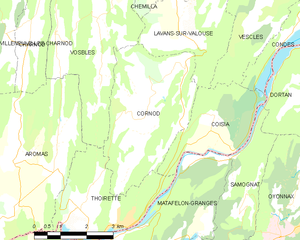
Shares border with regions:


Vosbles
- former commune in Jura, France
It seems there might be a typo in your query, as "Vosbles" doesn't relate to a known hiking destination. If you meant "Vosges," which is a mountain range in northeastern France, I can certainly provide information on that!...
- Country:

- Postal Code: 39240
- Coordinates: 46° 20' 25" N, 5° 31' 28" E


- GPS tracks (wikiloc): [Link]
- Area: 12.67 sq km
- Population: 110


Aromas
- former commune in Jura, France
Aromas is a small village in the Jura department of France, known for its picturesque landscapes and natural beauty. Hiking in this area offers a range of trails that wind through lush forests, rolling hills, and scenic viewpoints, appealing to both novice and experienced hikers....
- Country:

- Postal Code: 39240
- Coordinates: 46° 17' 33" N, 5° 28' 50" E


- GPS tracks (wikiloc): [Link]
- Area: 18.75 sq km
- Population: 557

Matafelon-Granges
- commune in Ain, France
Matafelon-Granges is a commune in the Ain department in the Auvergne-Rhône-Alpes region of France. Nestled in the beautiful countryside, it offers various hiking opportunities for nature enthusiasts, with picturesque landscapes and charming local scenery....
- Country:

- Postal Code: 01580
- Coordinates: 46° 15' 40" N, 5° 33' 14" E


- GPS tracks (wikiloc): [Link]
- Area: 21.54 sq km
- Population: 647


Cornod
- commune in Jura, France
It seems there might be a confusion regarding "Cornod." If you meant "Croatia," "Cordillera," or another specific place, please clarify, and I'd be happy to provide information about hiking in that area....
- Country:

- Postal Code: 39240
- Coordinates: 46° 18' 48" N, 5° 32' 56" E


- GPS tracks (wikiloc): [Link]
- Area: 13.99 sq km
- Population: 222


Coisia
- former commune in Jura, France
It seems there might be a typo in your request, as "Coisia" is not a recognized hiking destination. If you meant "Corsica," which is a beautiful island in the Mediterranean Sea, I can provide some information on hiking there....
- Country:

- Postal Code: 39240
- Coordinates: 46° 18' 20" N, 5° 34' 51" E


- GPS tracks (wikiloc): [Link]
- Area: 6.73 sq km
- Population: 193

Corveissiat
- commune in Ain, France
Corveissiat is a charming commune located in the Ain department in the Auvergne-Rhône-Alpes region of France. Nestled in the picturesque Jura Mountains, it offers beautiful natural scenery and numerous hiking opportunities for outdoor enthusiasts....
- Country:

- Postal Code: 01250
- Coordinates: 46° 14' 35" N, 5° 28' 53" E


- GPS tracks (wikiloc): [Link]
- Area: 22.69 sq km
- Population: 622
- Web site: [Link]

