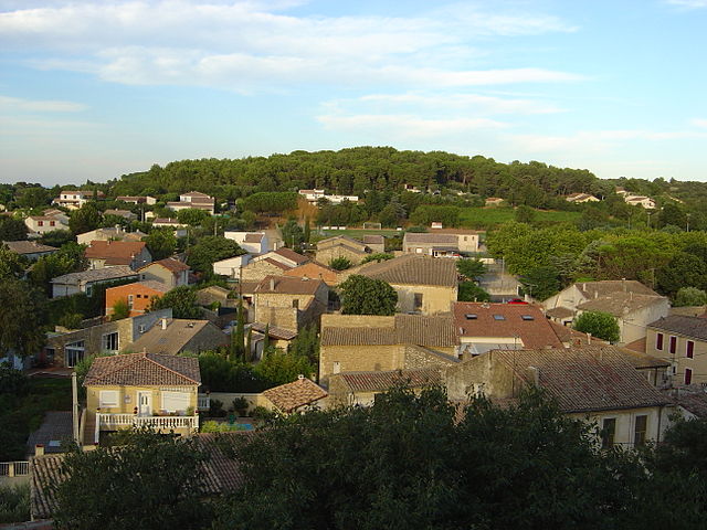
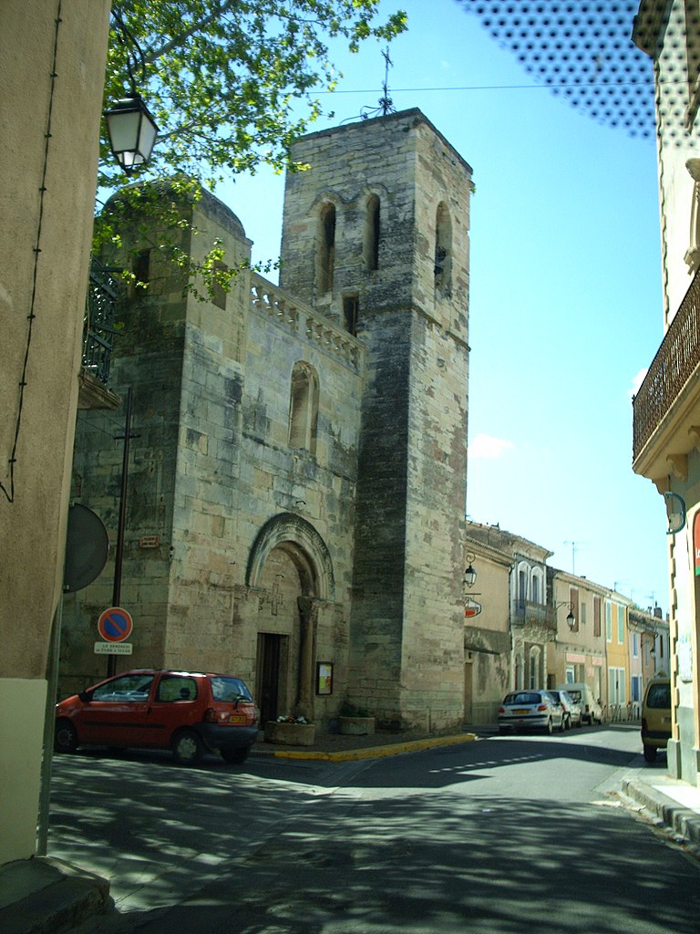
Vestric-et-Candiac (Vestric-et-Candiac)

- commune in Gard, France
- Country:

- Postal Code: 30600
- Coordinates: 43° 44' 24" N, 4° 15' 33" E


- GPS tracks (wikiloc): [Link]
- Area: 10.92 sq km
- Population: 1428
- Web site: http://www.mairie-vestricetcandiac.com/MV/mairievestric/accueil.php
- Wikipedia en: wiki(en)
- Wikipedia: wiki(fr)
- Wikidata storage: Wikidata: Q859903
- Wikipedia Commons Category: [Link]
- Freebase ID: [/m/03c7wvb]
- GeoNames ID: Alt: [6431480]
- SIREN number: [213003478]
- BnF ID: [15254987k]
- VIAF ID: Alt: [150261895]
- Library of Congress authority ID: Alt: [n96047237]
- PACTOLS thesaurus ID: [pcrtJB3wAw5iff]
- INSEE municipality code: 30347
Shares border with regions:


Uchaud
- commune in Gard, France
- Country:
- Postal Code: 30620
- Coordinates: 43° 45' 25" N, 4° 16' 10" E
- GPS tracks (wikiloc): [Link]
- Area: 8.8 sq km
- Population: 4264
- Web site: [Link]


Vauvert
- commune in Gard, France
- Country:
- Postal Code: 30600
- Coordinates: 43° 41' 36" N, 4° 16' 34" E
- GPS tracks (wikiloc): [Link]
- Area: 109.86 sq km
- Population: 11515
- Web site: [Link]


Vergèze
- commune in Gard, France
- Country:
- Postal Code: 30310
- Coordinates: 43° 44' 36" N, 4° 13' 12" E
- GPS tracks (wikiloc): [Link]
- Area: 10.16 sq km
- Population: 5051
- Web site: [Link]

Beauvoisin
- commune in Gard, France
- Country:
- Postal Code: 30640
- Coordinates: 43° 43' 6" N, 4° 19' 25" E
- GPS tracks (wikiloc): [Link]
- Area: 27.82 sq km
- Population: 4669
- Web site: [Link]


Boissières
- commune in Gard, France
- Country:
- Postal Code: 30114
- Coordinates: 43° 46' 28" N, 4° 13' 58" E
- GPS tracks (wikiloc): [Link]
- Area: 3.33 sq km
- Population: 541
- Web site: [Link]

Le Cailar
- commune in Gard, France
- Country:
- Postal Code: 30740
- Coordinates: 43° 40' 33" N, 4° 14' 10" E
- GPS tracks (wikiloc): [Link]
- Area: 30.01 sq km
- Population: 2401