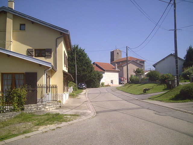
Vigneulles (Vigneulles)

- commune in Meurthe-et-Moselle, France
- Country:

- Postal Code: 54360
- Coordinates: 48° 33' 38" N, 6° 19' 52" E


- GPS tracks (wikiloc): [Link]
- Area: 5.57 sq km
- Population: 250
- Wikipedia en: wiki(en)
- Wikipedia: wiki(fr)
- Wikidata storage: Wikidata: Q223713
- Wikipedia Commons Category: [Link]
- Freebase ID: [/m/03qdnw7]
- Freebase ID: [/m/03qdnw7]
- GeoNames ID: Alt: [6454321]
- GeoNames ID: Alt: [6454321]
- SIREN number: [215405655]
- SIREN number: [215405655]
- BnF ID: [15264632p]
- BnF ID: [15264632p]
- INSEE municipality code: 54565
- INSEE municipality code: 54565
Shares border with regions:
Barbonville
- commune in Meurthe-et-Moselle, France
- Country:
- Postal Code: 54360
- Coordinates: 48° 33' 15" N, 6° 20' 39" E
- GPS tracks (wikiloc): [Link]
- Area: 10.81 sq km
- Population: 441

Saffais
- commune in Meurthe-et-Moselle, France
- Country:
- Postal Code: 54210
- Coordinates: 48° 33' 20" N, 6° 18' 42" E
- GPS tracks (wikiloc): [Link]
- Area: 4.04 sq km
- Population: 118


Rosières-aux-Salines
- commune in Meurthe-et-Moselle, France
- Country:
- Postal Code: 54110
- Coordinates: 48° 35' 32" N, 6° 20' 0" E
- GPS tracks (wikiloc): [Link]
- Area: 26.95 sq km
- Population: 2865
- Web site: [Link]


Damelevières
- commune in Meurthe-et-Moselle, France
- Country:
- Postal Code: 54360
- Coordinates: 48° 33' 25" N, 6° 23' 17" E
- GPS tracks (wikiloc): [Link]
- Area: 8.12 sq km
- Population: 3170
- Web site: [Link]