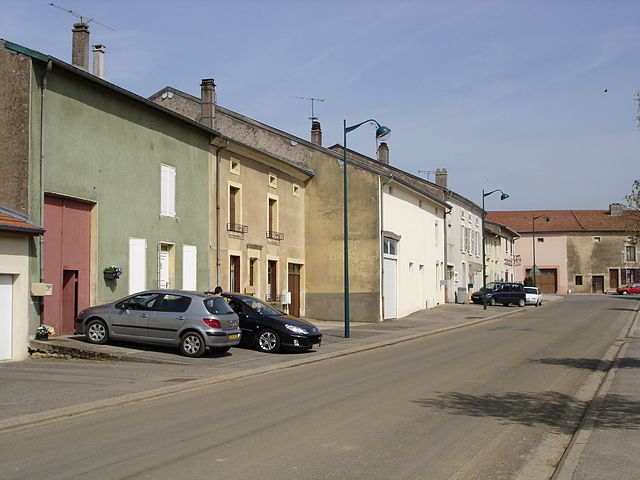
Villers-en-Haye (Villers-en-Haye)

- commune in Meurthe-et-Moselle, France
- Country:

- Postal Code: 54380
- Coordinates: 48° 49' 39" N, 6° 0' 43" E


- GPS tracks (wikiloc): [Link]
- Area: 7.29 sq km
- Population: 181
- Wikipedia en: wiki(en)
- Wikipedia: wiki(fr)
- Wikidata storage: Wikidata: Q1159880
- Wikipedia Commons Category: [Link]
- Freebase ID: [/m/03qdnzb]
- Freebase ID: [/m/03qdnzb]
- GeoNames ID: Alt: [6436917]
- GeoNames ID: Alt: [6436917]
- SIREN number: [215405739]
- SIREN number: [215405739]
- BnF ID: [152646409]
- BnF ID: [152646409]
- INSEE municipality code: 54573
- INSEE municipality code: 54573
Shares border with regions:

Rosières-en-Haye
- commune in Meurthe-et-Moselle, France
- Country:
- Postal Code: 54385
- Coordinates: 48° 47' 34" N, 6° 0' 3" E
- GPS tracks (wikiloc): [Link]
- Area: 10.74 sq km
- Population: 242
- Web site: [Link]
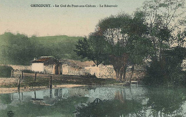

Griscourt
- commune in Meurthe-et-Moselle, France
- Country:
- Postal Code: 54380
- Coordinates: 48° 50' 0" N, 6° 0' 49" E
- GPS tracks (wikiloc): [Link]
- Area: 3.74 sq km
- Population: 127
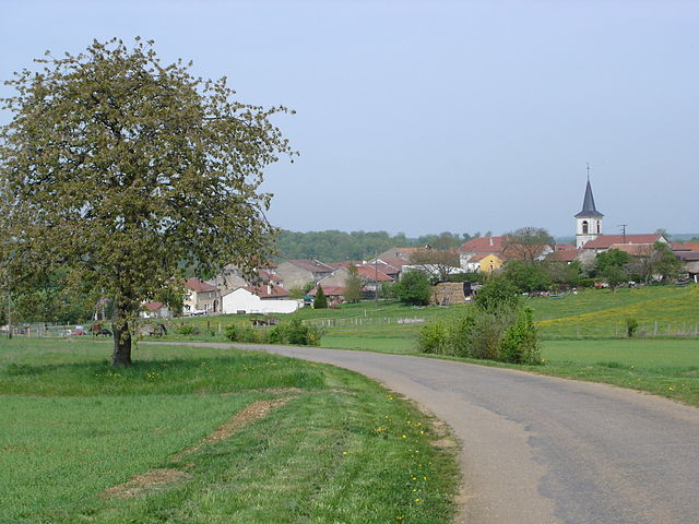
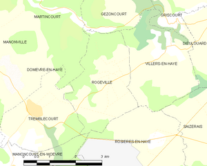
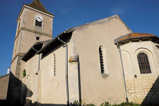
Rogéville
- commune in Meurthe-et-Moselle, France
- Country:
- Postal Code: 54380
- Coordinates: 48° 49' 11" N, 5° 58' 50" E
- GPS tracks (wikiloc): [Link]
- Area: 6.94 sq km
- Population: 183

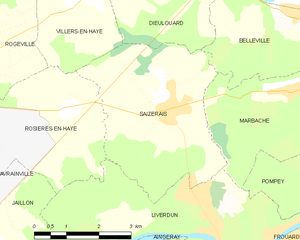
Saizerais
- commune in Meurthe-et-Moselle, France
- Country:
- Postal Code: 54380
- Coordinates: 48° 47' 25" N, 6° 2' 39" E
- GPS tracks (wikiloc): [Link]
- Area: 14.44 sq km
- Population: 1548

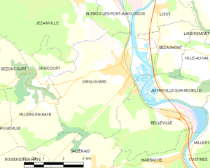
Dieulouard
- commune in Meurthe-et-Moselle, France
- Country:
- Postal Code: 54380
- Coordinates: 48° 50' 23" N, 6° 4' 11" E
- GPS tracks (wikiloc): [Link]
- Area: 17.69 sq km
- Population: 4693
- Web site: [Link]
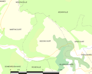
Gézoncourt
- commune in Meurthe-et-Moselle, France
- Country:
- Postal Code: 54380
- Coordinates: 48° 50' 15" N, 5° 59' 42" E
- GPS tracks (wikiloc): [Link]
- Area: 5.34 sq km
- Population: 175
- Web site: [Link]