canton of Domèvre-en-Haye (canton de Domèvre-en-Haye)
- canton of France
- Country:

- Capital: Domèvre-en-Haye
- Coordinates: 48° 48' 19" N, 5° 55' 28" E


- GPS tracks (wikiloc): [Link]
- Wikidata storage: Wikidata: Q1725171
- INSEE canton code: [5412]
Includes regions:

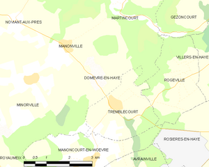
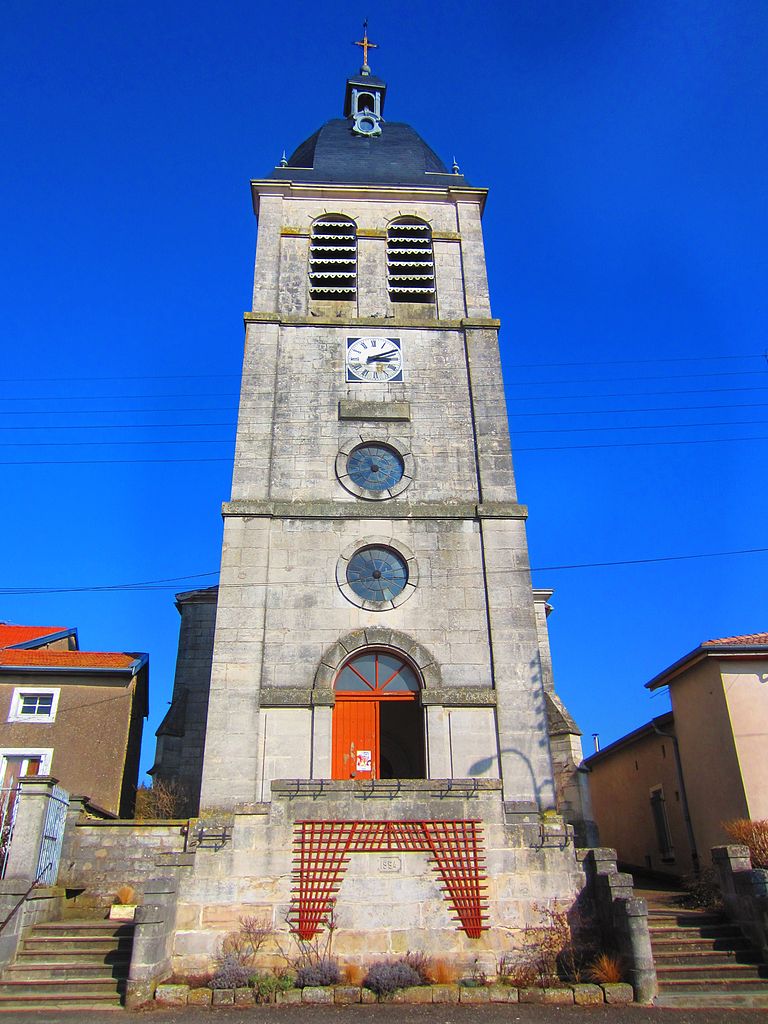
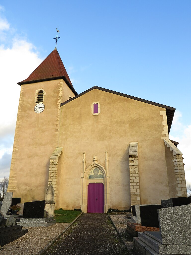
Domèvre-en-Haye
- commune in Meurthe-et-Moselle, France
- Country:
- Postal Code: 54385
- Coordinates: 48° 49' 3" N, 5° 55' 46" E
- GPS tracks (wikiloc): [Link]
- Area: 8.46 sq km
- Population: 385
- Web site: [Link]
Velaine-en-Haye
- commune in Meurthe-et-Moselle, France
- Country:
- Postal Code: 54840
- Coordinates: 48° 42' 10" N, 6° 1' 16" E
- GPS tracks (wikiloc): [Link]
- Area: 17.87 sq km
- Population: 1821


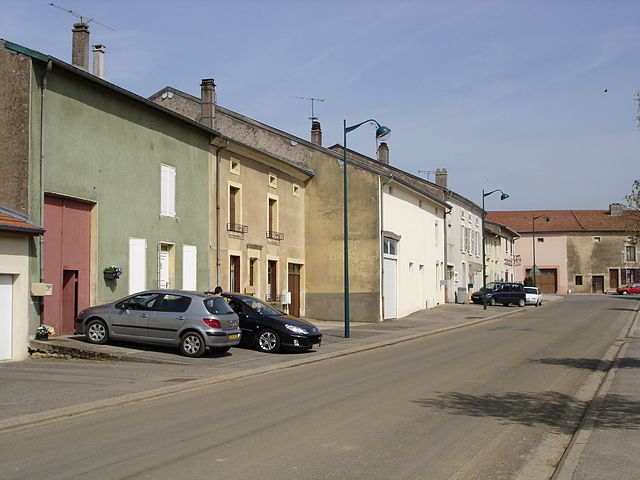
Tremblecourt
- commune in Meurthe-et-Moselle, France
- Country:
- Postal Code: 54385
- Coordinates: 48° 48' 19" N, 5° 56' 24" E
- GPS tracks (wikiloc): [Link]
- Area: 6.08 sq km
- Population: 190
- Web site: [Link]


Villey-Saint-Étienne
- commune in Meurthe-et-Moselle, France
- Country:
- Postal Code: 54200
- Coordinates: 48° 43' 51" N, 5° 58' 40" E
- GPS tracks (wikiloc): [Link]
- Area: 17.29 sq km
- Population: 1104

Rosières-en-Haye
- commune in Meurthe-et-Moselle, France
- Country:
- Postal Code: 54385
- Coordinates: 48° 47' 34" N, 6° 0' 3" E
- GPS tracks (wikiloc): [Link]
- Area: 10.74 sq km
- Population: 242
- Web site: [Link]


Manoncourt-en-Woëvre
- commune in Meurthe-et-Moselle, France
- Country:
- Postal Code: 54385
- Coordinates: 48° 46' 59" N, 5° 55' 31" E
- GPS tracks (wikiloc): [Link]
- Area: 10.56 sq km
- Population: 245


Martincourt
- commune in Meurthe-et-Moselle, France
- Country:
- Postal Code: 54380
- Coordinates: 48° 50' 48" N, 5° 56' 47" E
- GPS tracks (wikiloc): [Link]
- Area: 10.66 sq km
- Population: 95


Minorville
- commune in Meurthe-et-Moselle, France
- Country:
- Postal Code: 54385
- Coordinates: 48° 49' 0" N, 5° 53' 27" E
- GPS tracks (wikiloc): [Link]
- Area: 12.65 sq km
- Population: 240
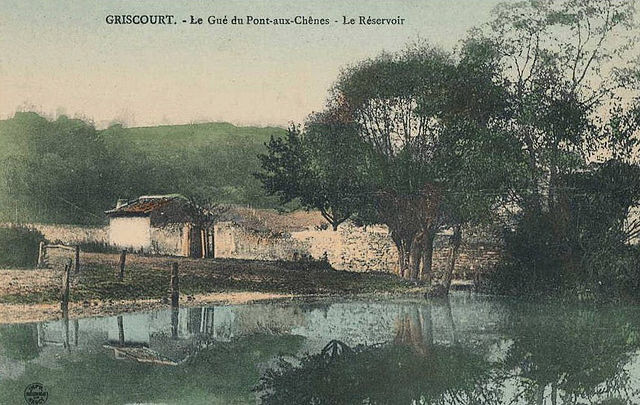

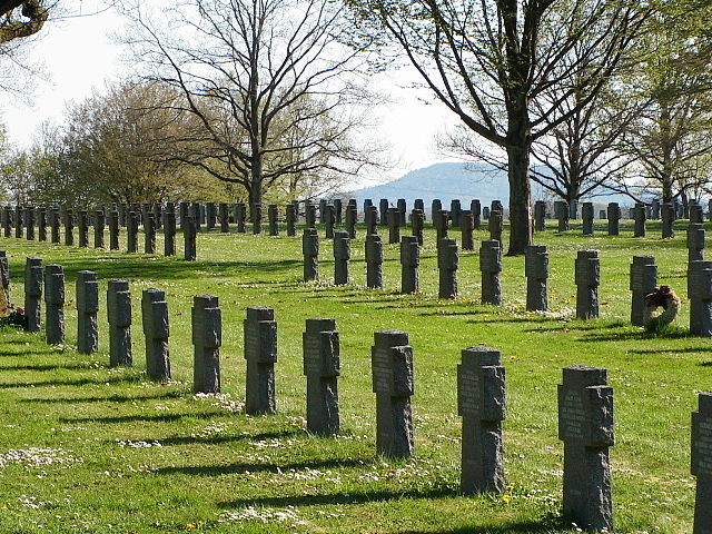
Griscourt
- commune in Meurthe-et-Moselle, France
- Country:
- Postal Code: 54380
- Coordinates: 48° 50' 0" N, 6° 0' 49" E
- GPS tracks (wikiloc): [Link]
- Area: 3.74 sq km
- Population: 127


Jaillon
- commune in Meurthe-et-Moselle, France
- Country:
- Postal Code: 54200
- Coordinates: 48° 45' 24" N, 5° 58' 5" E
- GPS tracks (wikiloc): [Link]
- Area: 7.47 sq km
- Population: 469


Avrainville
- commune in Meurthe-et-Moselle, France
- Country:
- Postal Code: 54385
- Coordinates: 48° 46' 21" N, 5° 56' 15" E
- GPS tracks (wikiloc): [Link]
- Area: 9.73 sq km
- Population: 213

Mandres-aux-Quatre-Tours
- commune in Meurthe-et-Moselle, France
- Country:
- Postal Code: 54470
- Coordinates: 48° 50' 25" N, 5° 47' 57" E
- GPS tracks (wikiloc): [Link]
- Area: 10.24 sq km
- Population: 179
Villers-en-Haye
- commune in Meurthe-et-Moselle, France
- Country:
- Postal Code: 54380
- Coordinates: 48° 49' 39" N, 6° 0' 43" E
- GPS tracks (wikiloc): [Link]
- Area: 7.29 sq km
- Population: 181
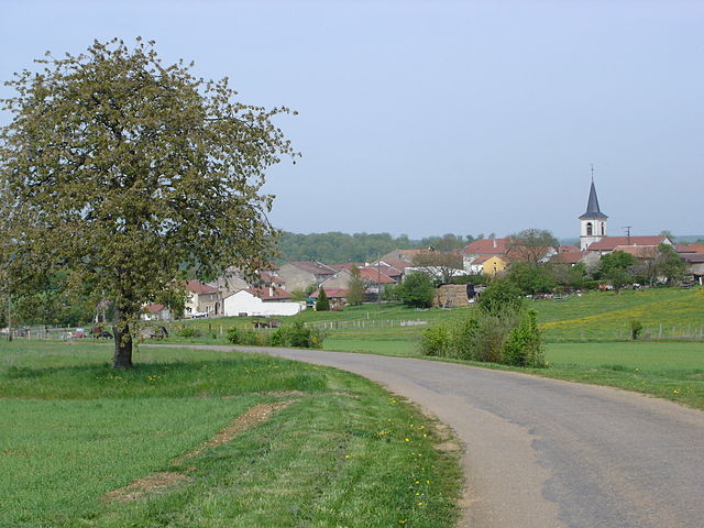
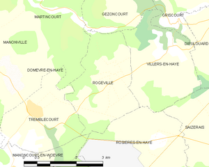
Rogéville
- commune in Meurthe-et-Moselle, France
- Country:
- Postal Code: 54380
- Coordinates: 48° 49' 11" N, 5° 58' 50" E
- GPS tracks (wikiloc): [Link]
- Area: 6.94 sq km
- Population: 183

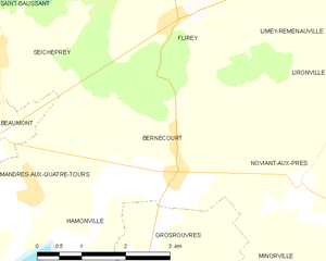
Bernécourt
- commune in Meurthe-et-Moselle, France
- Country:
- Postal Code: 54470
- Coordinates: 48° 50' 36" N, 5° 50' 37" E
- GPS tracks (wikiloc): [Link]
- Area: 9.38 sq km
- Population: 186


Grosrouvres
- commune in Meurthe-et-Moselle, France
- Country:
- Postal Code: 54470
- Coordinates: 48° 49' 49" N, 5° 50' 24" E
- GPS tracks (wikiloc): [Link]
- Area: 4.61 sq km
- Population: 60

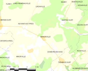
Manonville
- commune in Meurthe-et-Moselle, France
- Country:
- Postal Code: 54385
- Coordinates: 48° 49' 48" N, 5° 54' 42" E
- GPS tracks (wikiloc): [Link]
- Area: 9.43 sq km
- Population: 243


Ansauville
- commune in Meurthe-et-Moselle, France
- Country:
- Postal Code: 54470
- Coordinates: 48° 49' 20" N, 5° 49' 38" E
- GPS tracks (wikiloc): [Link]
- Area: 6.97 sq km
- Population: 84

Andilly
- commune in Meurthe-et-Moselle, France
- Country:
- Postal Code: 54200
- Coordinates: 48° 45' 56" N, 5° 52' 50" E
- GPS tracks (wikiloc): [Link]
- Area: 7.12 sq km
- Population: 283

Hamonville
- commune in Meurthe-et-Moselle, France
- Country:
- Postal Code: 54470
- Coordinates: 48° 49' 40" N, 5° 48' 50" E
- GPS tracks (wikiloc): [Link]
- Area: 6.66 sq km
- Population: 91


Mamey
- commune in Meurthe-et-Moselle, France
- Country:
- Postal Code: 54470
- Coordinates: 48° 52' 41" N, 5° 57' 32" E
- GPS tracks (wikiloc): [Link]
- Area: 7.56 sq km
- Population: 342


Noviant-aux-Prés
- commune in Meurthe-et-Moselle, France
- Country:
- Postal Code: 54385
- Coordinates: 48° 50' 26" N, 5° 52' 55" E
- GPS tracks (wikiloc): [Link]
- Area: 11.19 sq km
- Population: 263
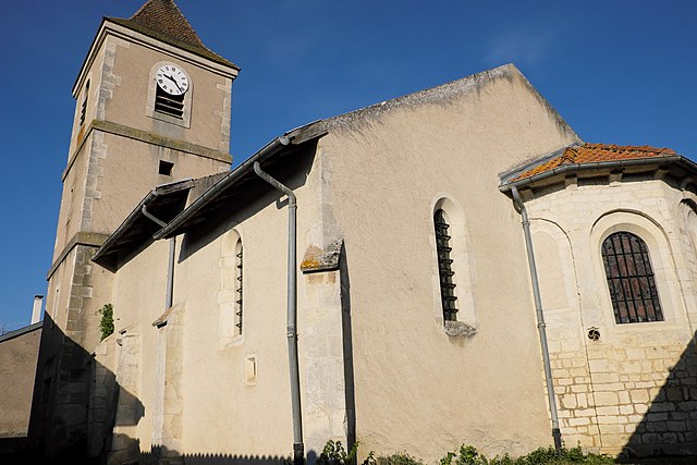
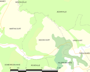
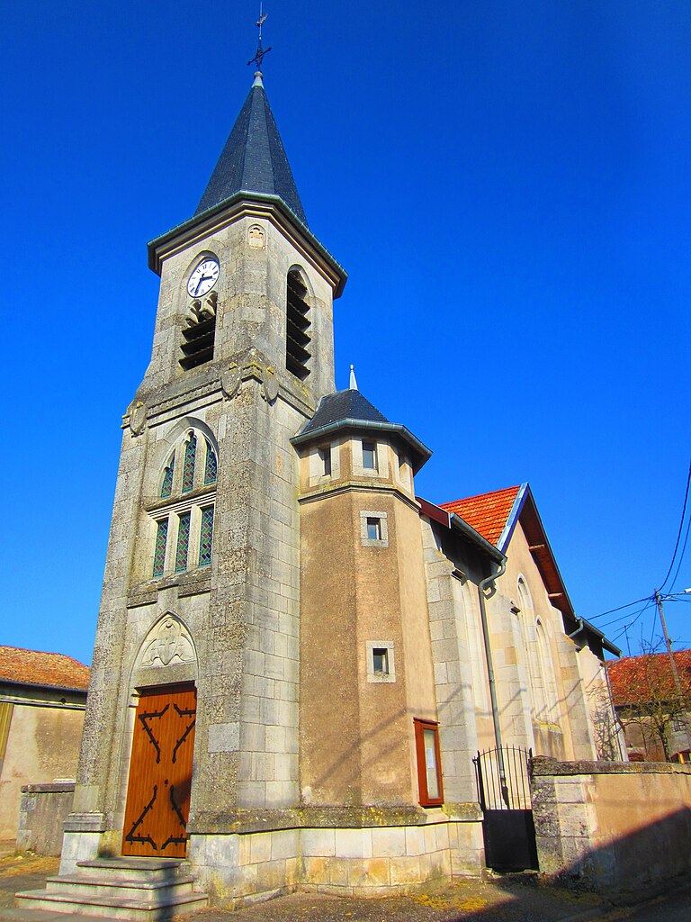
Gézoncourt
- commune in Meurthe-et-Moselle, France
- Country:
- Postal Code: 54380
- Coordinates: 48° 50' 15" N, 5° 59' 42" E
- GPS tracks (wikiloc): [Link]
- Area: 5.34 sq km
- Population: 175
- Web site: [Link]


Beaumont
- commune in Meurthe-et-Moselle, France
- Country:
- Postal Code: 54470
- Coordinates: 48° 51' 7" N, 5° 47' 15" E
- GPS tracks (wikiloc): [Link]
- Area: 3.11 sq km
- Population: 69
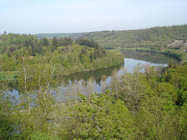

Liverdun
- commune in Meurthe-et-Moselle, France
- Country:
- Postal Code: 54460
- Coordinates: 48° 45' 1" N, 6° 3' 43" E
- GPS tracks (wikiloc): [Link]
- Area: 25.23 sq km
- Population: 6033
- Web site: [Link]

Francheville
- commune in Meurthe-et-Moselle, France
- Country:
- Postal Code: 54200
- Coordinates: 48° 44' 18" N, 5° 55' 53" E
- GPS tracks (wikiloc): [Link]
- Area: 10.94 sq km
- Population: 280