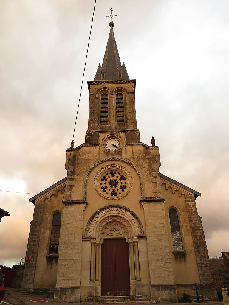
Villey-le-Sec (Villey-le-Sec)

- commune in Meurthe-et-Moselle, France
- Country:

- Postal Code: 54840
- Coordinates: 48° 39' 32" N, 5° 58' 37" E


- GPS tracks (wikiloc): [Link]
- Area: 6.4 sq km
- Population: 414
- Wikipedia en: wiki(en)
- Wikipedia: wiki(fr)
- Wikidata storage: Wikidata: Q208724
- Wikipedia Commons Category: [Link]
- Freebase ID: [/m/03qdp12]
- Freebase ID: [/m/03qdp12]
- GeoNames ID: Alt: [6436927]
- GeoNames ID: Alt: [6436927]
- SIREN number: [215405838]
- SIREN number: [215405838]
- BnF ID: [15264650m]
- BnF ID: [15264650m]
- VIAF ID: Alt: [233908181]
- VIAF ID: Alt: [233908181]
- INSEE municipality code: 54583
- INSEE municipality code: 54583
Shares border with regions:


Gondreville
- commune in Meurthe-et-Moselle, France
- Country:
- Postal Code: 54840
- Coordinates: 48° 41' 35" N, 5° 57' 38" E
- GPS tracks (wikiloc): [Link]
- Area: 25.03 sq km
- Population: 2828
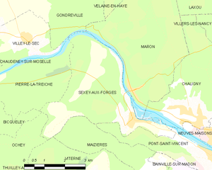
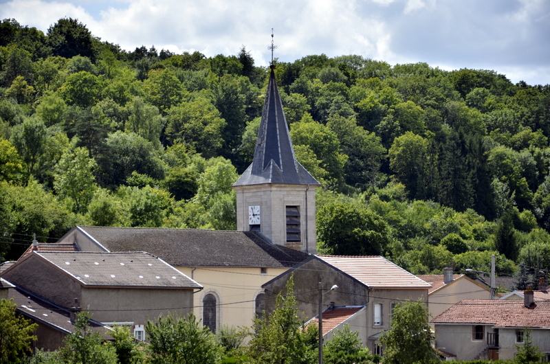
Sexey-aux-Forges
- commune in Meurthe-et-Moselle, France
- Country:
- Postal Code: 54550
- Coordinates: 48° 37' 20" N, 6° 2' 51" E
- GPS tracks (wikiloc): [Link]
- Area: 14.08 sq km
- Population: 688

Pierre-la-Treiche
- commune in Meurthe-et-Moselle, France
- Country:
- Postal Code: 54200
- Coordinates: 48° 38' 34" N, 5° 55' 48" E
- GPS tracks (wikiloc): [Link]
- Area: 12.85 sq km
- Population: 504


Dommartin-lès-Toul
- commune in Meurthe-et-Moselle, France
- Country:
- Postal Code: 54200
- Coordinates: 48° 40' 12" N, 5° 54' 28" E
- GPS tracks (wikiloc): [Link]
- Area: 6.87 sq km
- Population: 2012


Chaudeney-sur-Moselle
- commune in Meurthe-et-Moselle, France
- Country:
- Postal Code: 54200
- Coordinates: 48° 39' 6" N, 5° 54' 18" E
- GPS tracks (wikiloc): [Link]
- Area: 8.34 sq km
- Population: 709