canton of Toul-Sud (canton de Toul-Sud)
- canton of France
- Country:

- Capital: Toul
- Coordinates: 48° 37' 26" N, 5° 53' 26" E


- GPS tracks (wikiloc): [Link]
- Wikidata storage: Wikidata: Q1727627
- INSEE canton code: [5428]
Includes regions:

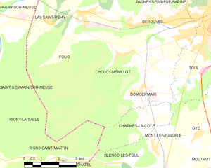
Choloy-Ménillot
- commune in Meurthe-et-Moselle, France
- Country:

- Postal Code: 54200
- Coordinates: 48° 39' 43" N, 5° 49' 9" E


- GPS tracks (wikiloc): [Link]
- AboveSeaLevel: 249 м m
- Area: 11.95 sq km
- Population: 726


Ochey
- commune in Meurthe-et-Moselle, France
- Country:

- Postal Code: 54170
- Coordinates: 48° 34' 56" N, 5° 56' 33" E


- GPS tracks (wikiloc): [Link]
- Area: 18.06 sq km
- Population: 521
- Web site: [Link]


Crézilles
- commune in Meurthe-et-Moselle, France
- Country:

- Postal Code: 54113
- Coordinates: 48° 35' 5" N, 5° 52' 47" E


- GPS tracks (wikiloc): [Link]
- Area: 9.53 sq km
- Population: 281
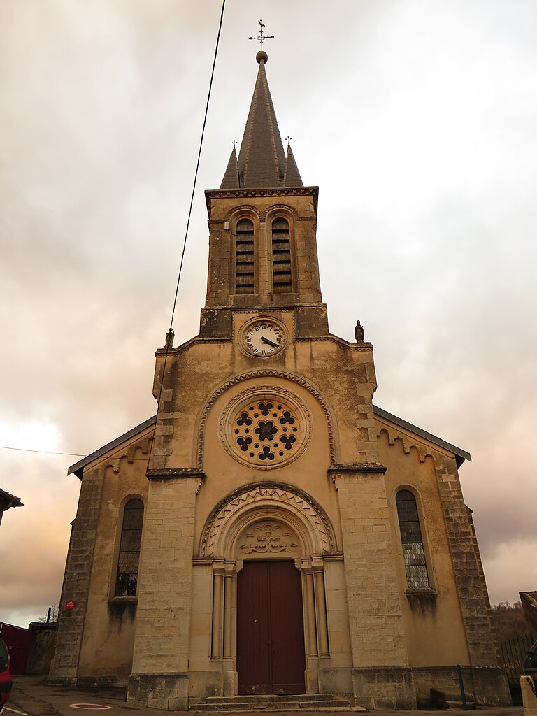
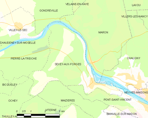
Sexey-aux-Forges
- commune in Meurthe-et-Moselle, France
- Country:

- Postal Code: 54550
- Coordinates: 48° 37' 20" N, 6° 2' 51" E


- GPS tracks (wikiloc): [Link]
- Area: 14.08 sq km
- Population: 688
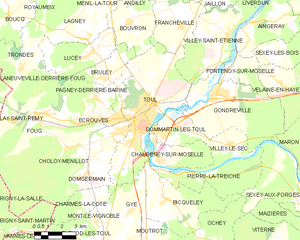
Toul
- commune in Meurthe-et-Moselle, France
- Country:

- Postal Code: 54200
- Coordinates: 48° 40' 30" N, 5° 53' 30" E


- GPS tracks (wikiloc): [Link]
- AboveSeaLevel: 215 м m
- Area: 30.59 sq km
- Population: 16021
- Web site: [Link]


Villey-le-Sec
- commune in Meurthe-et-Moselle, France
- Country:

- Postal Code: 54840
- Coordinates: 48° 39' 32" N, 5° 58' 37" E


- GPS tracks (wikiloc): [Link]
- Area: 6.4 sq km
- Population: 414
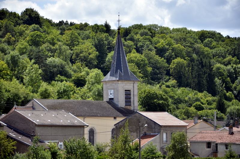

Pierre-la-Treiche
- commune in Meurthe-et-Moselle, France
- Country:

- Postal Code: 54200
- Coordinates: 48° 38' 34" N, 5° 55' 48" E


- GPS tracks (wikiloc): [Link]
- Area: 12.85 sq km
- Population: 504


Moutrot
- commune in Meurthe-et-Moselle, France
- Country:

- Postal Code: 54113
- Coordinates: 48° 36' 11" N, 5° 53' 35" E


- GPS tracks (wikiloc): [Link]
- Area: 7.26 sq km
- Population: 292


Bulligny
- commune in Meurthe-et-Moselle, France
- Country:

- Postal Code: 54113
- Coordinates: 48° 34' 37" N, 5° 51' 1" E


- GPS tracks (wikiloc): [Link]
- Area: 10.49 sq km
- Population: 500
- Web site: [Link]

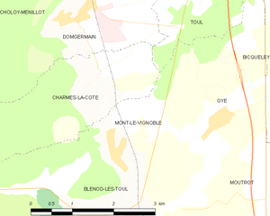
Mont-le-Vignoble
- commune in Meurthe-et-Moselle, France
- Country:

- Postal Code: 54113
- Coordinates: 48° 36' 47" N, 5° 50' 26" E


- GPS tracks (wikiloc): [Link]
- Area: 4.12 sq km
- Population: 419


Gye
- commune in Meurthe-et-Moselle, France
- Country:

- Postal Code: 54113
- Coordinates: 48° 37' 12" N, 5° 52' 32" E


- GPS tracks (wikiloc): [Link]
- Area: 6.51 sq km
- Population: 224
- Web site: [Link]

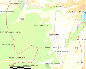
Domgermain
- commune in Meurthe-et-Moselle, France
- Country:

- Postal Code: 54119
- Coordinates: 48° 38' 33" N, 5° 49' 33" E


- GPS tracks (wikiloc): [Link]
- Area: 13.09 sq km
- Population: 1220


Chaudeney-sur-Moselle
- commune in Meurthe-et-Moselle, France
- Country:

- Postal Code: 54200
- Coordinates: 48° 39' 6" N, 5° 54' 18" E


- GPS tracks (wikiloc): [Link]
- Area: 8.34 sq km
- Population: 709
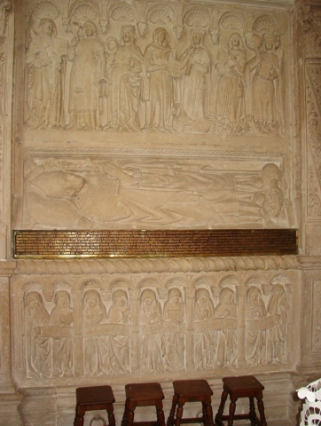

Blénod-lès-Toul
- commune in Meurthe-et-Moselle, France
- Country:

- Postal Code: 54113
- Coordinates: 48° 35' 58" N, 5° 50' 0" E


- GPS tracks (wikiloc): [Link]
- Area: 17.6 sq km
- Population: 1089
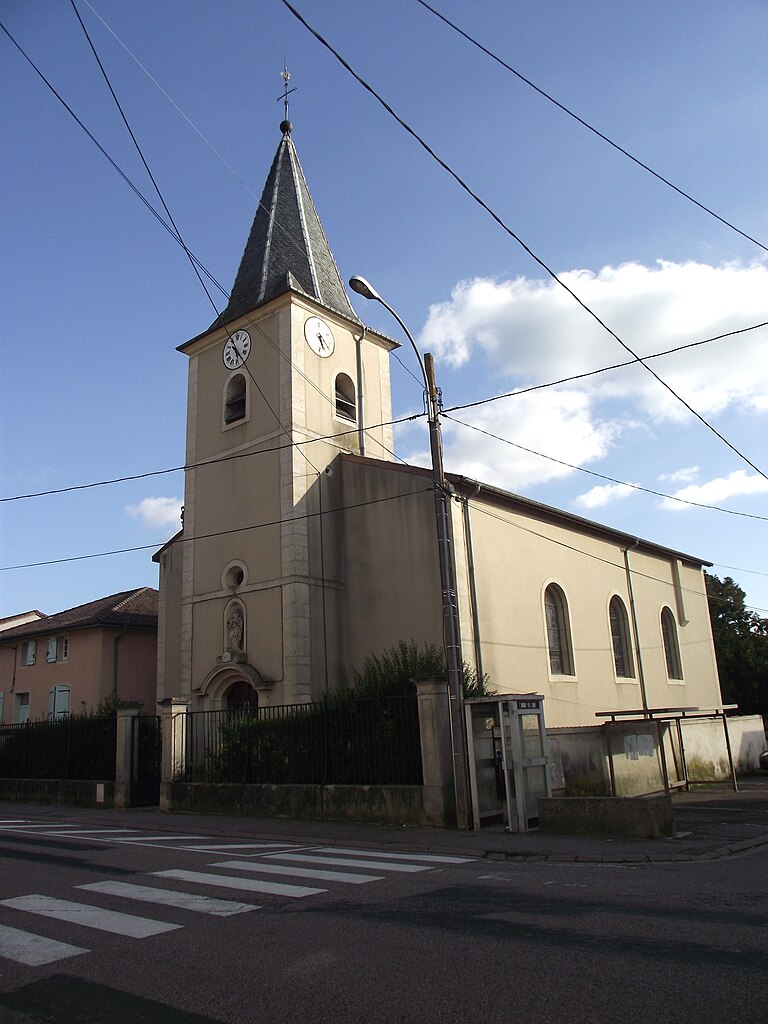

Bicqueley
- commune in Meurthe-et-Moselle, France
- Country:

- Postal Code: 54200
- Coordinates: 48° 37' 35" N, 5° 54' 43" E


- GPS tracks (wikiloc): [Link]
- Area: 16.82 sq km
- Population: 902
- Web site: [Link]