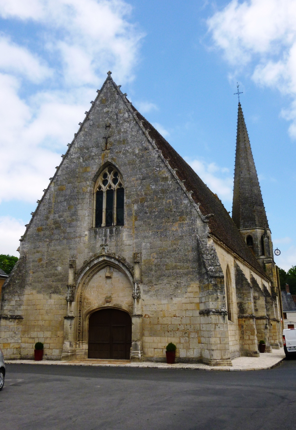
Villiers-sur-Loir (Villiers-sur-Loir)

- commune in Loir-et-Cher, France
- Country:

- Postal Code: 41100
- Coordinates: 47° 48' 24" N, 0° 59' 39" E


- GPS tracks (wikiloc): [Link]
- Area: 10 sq km
- Population: 1132
- Web site: http://www.villiers-sur-loir.com
- Wikipedia en: wiki(en)
- Wikipedia: wiki(fr)
- Wikidata storage: Wikidata: Q1111803
- Wikipedia Commons Category: [Link]
- Freebase ID: [/m/03nw35q]
- GeoNames ID: Alt: [2968144]
- SIREN number: [214102949]
- BnF ID: [15259568d]
- VIAF ID: Alt: [148081748]
- Library of Congress authority ID: Alt: [no2002016970]
- INSEE municipality code: 41294
Shares border with regions:


Azé
- commune in Loir-et-Cher, France
- Country:
- Postal Code: 41100
- Coordinates: 47° 51' 4" N, 0° 59' 55" E
- GPS tracks (wikiloc): [Link]
- AboveSeaLevel: 81 м m
- Area: 31.93 sq km
- Population: 1090


Naveil
- commune in Loir-et-Cher, France
- Country:
- Postal Code: 41100
- Coordinates: 47° 47' 36" N, 1° 1' 47" E
- GPS tracks (wikiloc): [Link]
- Area: 13.24 sq km
- Population: 2288
- Web site: [Link]

Mazangé
- commune in Loir-et-Cher, France
- Country:
- Postal Code: 41100
- Coordinates: 47° 49' 26" N, 0° 56' 44" E
- GPS tracks (wikiloc): [Link]
- Area: 24.26 sq km
- Population: 894


Vendôme
- commune in Loir-et-Cher, France
- Country:
- Postal Code: 41100
- Coordinates: 47° 47' 34" N, 1° 3' 56" E
- GPS tracks (wikiloc): [Link]
- AboveSeaLevel: 82 м m
- Area: 23.89 sq km
- Population: 16716
- Web site: [Link]

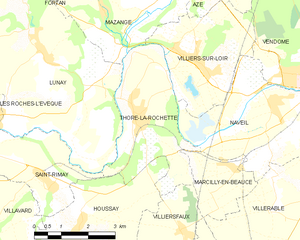
Thoré-la-Rochette
- commune in Loir-et-Cher, France
- Country:
- Postal Code: 41100
- Coordinates: 47° 47' 20" N, 0° 57' 53" E
- GPS tracks (wikiloc): [Link]
- Area: 10.78 sq km
- Population: 885