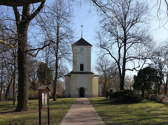
Waidmannslust (Waidmannslust)

- locality of Berlin
 Hiking in Waidmannslust
Waidmannslust is a neighborhood located in the northeastern part of Berlin, Germany. While it is primarily a residential area and doesn’t have extensive hiking trails in the traditional sense, there are several nearby locations that offer green spaces and opportunities for walking and light hiking. Here are some options for exploring the area:
-
Reinickendorf Lake District: Situated not too far from Waidmannslust, this area features several lakes and nature reserves. The surrounding paths provide opportunities for scenic walks and a chance to enjoy the natural beauty.
-
Krumme Lanke and Schlachtensee: These two lakes offer picturesque trails around their peripheries and are perfect for a leisurely hike or a long walk, especially during the warmer months.
-
Grunewald Forest: A bit further out but accessible, Grunewald is a large forested area that features numerous trails for hiking. It’s a great place to escape the urban environment and immerse yourself in nature.
-
Tegel Forest: Located to the northwest, this area offers woodland trails and is more secluded. It’s a great spot for hiking and enjoying nature.
-
Parks and Gardens: Waidmannslust itself has several green spaces, parks, and community gardens where you can enjoy a casual walk.
If you're planning to hike in and around Waidmannslust, it's important to wear comfortable footwear and bring water and snacks, especially if you plan to explore further into nature reserves or wooded areas. Always check local trail maps and weather conditions to ensure a safe and enjoyable experience.
- Country:

- Coordinates: 52° 36' 24" N, 13° 19' 15" E


- GPS tracks (wikiloc): [Link]
- AboveSeaLevel: 47 м m
- Area: 2.3 sq km
- Wikipedia en: wiki(en)
- Wikipedia: wiki(de)
- Wikidata storage: Wikidata: Q648245
- Wikipedia Commons Gallery: [Link]
- Wikipedia Commons Category: [Link]
- Wikipedia Commons Maps Category: [Link]
- Freebase ID: [/m/09rxt1y]
- GeoNames ID: Alt: [8334623]
- VIAF ID: Alt: [244738746]
- GND ID: Alt: [4598212-0]
- archINFORM location ID: [43352]
- TGN ID: [1005863]
Shares border with regions:
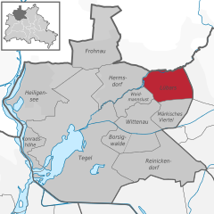
Lübars
- locality of Berlin
Hiking in Lübars
Lübars, located in the northern part of Berlin, Germany, is a charming district that offers beautiful green spaces and opportunities for hiking and outdoor activities. While it may not be as well-known as other hiking destinations, it provides a delightful escape into nature within the city....
- Country:
- Coordinates: 52° 37' 0" N, 13° 22' 0" E
- GPS tracks (wikiloc): [Link]
- AboveSeaLevel: 53 м m
- Area: 5 sq km
- Population: 4969


Wittenau
- locality of Berlin
Hiking in Wittenau
Wittenau is a district in the borough of Reinickendorf in Berlin, Germany. While Wittenau itself is primarily urban and residential, it offers some walking and hiking opportunities, especially in nearby parks and natural areas....
- Country:
- Postal Code: 13469; 13439; 13437; 13435
- Coordinates: 52° 35' 31" N, 13° 19' 35" E
- GPS tracks (wikiloc): [Link]
- AboveSeaLevel: 41 м m
- Area: 5.9 sq km
- Population: 25118

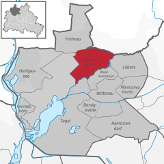
Hermsdorf
- locality of Berlin
Hiking in Hermsdorf
Hermsdorf is a charming district located in the northern part of Berlin, surrounded by lush green spaces and natural beauty, making it a great destination for hiking and outdoor activities. While it may not have extensive hiking trails like some larger nature reserves or national parks, there are still various routes and parks nearby that cater to hikers....
- Country:
- Postal Code: 13467
- Coordinates: 52° 37' 0" N, 13° 19' 0" E
- GPS tracks (wikiloc): [Link]
- AboveSeaLevel: 37 м m
- Area: 6.1 sq km
- Population: 15440


Tegel
- locality of Berlin
Hiking in Tegel
Tegel, located in the northern part of Berlin, Germany, is known for its beautiful natural surroundings, including lakes and forests, making it a great area for hiking and outdoor activities. Here are some highlights and tips for hiking in the Tegel area:...
- Country:
- Postal Code: 13509; 13507; 13505; 13503; 13405
- Coordinates: 52° 35' 0" N, 13° 17' 0" E
- GPS tracks (wikiloc): [Link]
- AboveSeaLevel: 36 м m
- Area: 33.7 sq km
- Population: 35474