Anjouin (Anjouin)

- commune in Indre, France
- Country:

- Postal Code: 36210
- Coordinates: 47° 11' 22" N, 1° 48' 4" E


- GPS tracks (wikiloc): [Link]
- Area: 28.91 sq km
- Population: 335
- Wikipedia en: wiki(en)
- Wikipedia: wiki(fr)
- Wikidata storage: Wikidata: Q1071787
- Wikipedia Commons Category: [Link]
- GeoNames ID: Alt: [6452281]
- SIREN number: [213600042]
- BnF ID: [15257308h]
- PACTOLS thesaurus ID: [pcrtJLtL3OeNSB]
- INSEE municipality code: 36004
Shares border with regions:

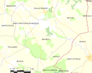
Bagneux
- commune in Indre, France
- Country:
- Postal Code: 36210
- Coordinates: 47° 10' 59" N, 1° 45' 11" E
- GPS tracks (wikiloc): [Link]
- Area: 25.3 sq km
- Population: 175
Orville
- commune in Indre, France
- Country:
- Postal Code: 36210
- Coordinates: 47° 9' 8" N, 1° 47' 28" E
- GPS tracks (wikiloc): [Link]
- Area: 9.35 sq km
- Population: 136


Dun-le-Poëlier
- commune in Indre, France
- Country:
- Postal Code: 36210
- Coordinates: 47° 12' 14" N, 1° 45' 13" E
- GPS tracks (wikiloc): [Link]
- Area: 22.56 sq km
- Population: 447

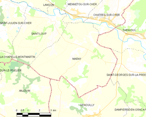
Maray
- commune in Loir-et-Cher, France
- Country:
- Postal Code: 41320
- Coordinates: 47° 14' 50" N, 1° 53' 6" E
- GPS tracks (wikiloc): [Link]
- Area: 27.8 sq km
- Population: 232
La Chapelle-Montmartin
- commune in Loir-et-Cher, France
- Country:
- Postal Code: 41320
- Coordinates: 47° 16' 13" N, 1° 44' 23" E
- GPS tracks (wikiloc): [Link]
- AboveSeaLevel: 124 м m
- Area: 10.72 sq km
- Population: 436


Saint-Loup
- commune in Loir-et-Cher, France
- Country:
- Postal Code: 41320
- Coordinates: 47° 15' 55" N, 1° 50' 22" E
- GPS tracks (wikiloc): [Link]
- AboveSeaLevel: 120 м m
- Area: 14.7 sq km
- Population: 372

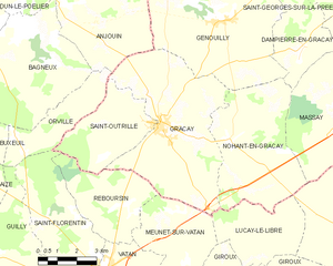
Graçay
- commune in Cher, France
- Country:
- Postal Code: 18310
- Coordinates: 47° 8' 34" N, 1° 50' 48" E
- GPS tracks (wikiloc): [Link]
- Area: 31.82 sq km
- Population: 1455
- Web site: [Link]

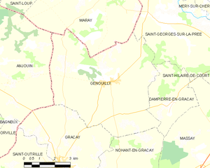
Genouilly
- commune in Cher, France
- Country:
- Postal Code: 18310
- Coordinates: 47° 11' 28" N, 1° 53' 8" E
- GPS tracks (wikiloc): [Link]
- Area: 34.66 sq km
- Population: 692