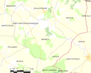
Dun-le-Poëlier (Dun-le-Poëlier)

- commune in Indre, France
- Country:

- Postal Code: 36210
- Coordinates: 47° 12' 14" N, 1° 45' 13" E


- GPS tracks (wikiloc): [Link]
- Area: 22.56 sq km
- Population: 447
- Wikipedia en: wiki(en)
- Wikipedia: wiki(fr)
- Wikidata storage: Wikidata: Q1141029
- Wikipedia Commons Category: [Link]
- Freebase ID: [/m/03nv9d7]
- GeoNames ID: Alt: [6448609]
- SIREN number: [213600687]
- BnF ID: [15257372m]
- VIAF ID: Alt: [132593856]
- SUDOC authorities ID: [052264289]
- INSEE municipality code: 36068
Shares border with regions:


Anjouin
- commune in Indre, France
- Country:
- Postal Code: 36210
- Coordinates: 47° 11' 22" N, 1° 48' 4" E
- GPS tracks (wikiloc): [Link]
- Area: 28.91 sq km
- Population: 335

Bagneux
- commune in Indre, France
- Country:
- Postal Code: 36210
- Coordinates: 47° 10' 59" N, 1° 45' 11" E
- GPS tracks (wikiloc): [Link]
- Area: 25.3 sq km
- Population: 175
Saint-Christophe-en-Bazelle
- commune in Indre, France
- Country:
- Postal Code: 36210
- Coordinates: 47° 11' 31" N, 1° 42' 42" E
- GPS tracks (wikiloc): [Link]
- Area: 13.94 sq km
- Population: 400


Chabris
- commune in Indre, France
- Country:
- Postal Code: 36210
- Coordinates: 47° 15' 18" N, 1° 39' 12" E
- GPS tracks (wikiloc): [Link]
- Area: 41.22 sq km
- Population: 2737
Sembleçay
- commune in Indre, France
- Country:
- Postal Code: 36210
- Coordinates: 47° 13' 19" N, 1° 40' 56" E
- GPS tracks (wikiloc): [Link]
- Area: 8.08 sq km
- Population: 102
La Chapelle-Montmartin
- commune in Loir-et-Cher, France
- Country:
- Postal Code: 41320
- Coordinates: 47° 16' 13" N, 1° 44' 23" E
- GPS tracks (wikiloc): [Link]
- AboveSeaLevel: 124 м m
- Area: 10.72 sq km
- Population: 436