Saint-Hippolyte-du-Fort (Saint-Hippolyte-du-Fort)

- commune in Gard, France
- Country:

- Postal Code: 30170
- Coordinates: 43° 57' 57" N, 3° 51' 21" E


- GPS tracks (wikiloc): [Link]
- Area: 29.38 sq km
- Population: 3937
- Web site: http://www.saint-hippolyte-du-fort.fr
- Wikipedia en: wiki(en)
- Wikipedia: wiki(fr)
- Wikidata storage: Wikidata: Q770367
- Wikipedia Commons Category: [Link]
- Freebase ID: [/m/02x2rwr]
- GeoNames ID: Alt: [2979475]
- SIREN number: [213002637]
- BnF ID: [15254903q]
- VIAF ID: Alt: [168490201]
- Library of Congress authority ID: Alt: [n85081829]
- MusicBrainz area ID: [62d77b39-bfa5-4485-9ea5-d300ca748ceb]
- INSEE municipality code: 30263
Shares border with regions:

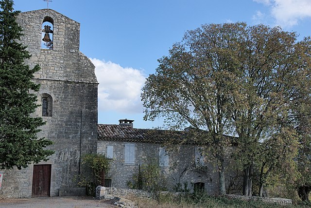
Montoulieu
- commune in Hérault, France
- Country:
- Postal Code: 34190
- Coordinates: 43° 55' 37" N, 3° 47' 26" E
- GPS tracks (wikiloc): [Link]
- Area: 16.1 sq km
- Population: 161
- Web site: [Link]


Cros
- commune in Gard, France
- Country:
- Postal Code: 30170
- Coordinates: 43° 59' 37" N, 3° 49' 30" E
- GPS tracks (wikiloc): [Link]
- Area: 16.94 sq km
- Population: 257
- Web site: [Link]


La Cadière-et-Cambo
- commune in Gard, France
- Country:
- Postal Code: 30170
- Coordinates: 43° 57' 27" N, 3° 48' 29" E
- GPS tracks (wikiloc): [Link]
- AboveSeaLevel: 240 м m
- Area: 11.97 sq km
- Population: 208

Conqueyrac
- commune in Gard, France
- Country:
- Postal Code: 30170
- Coordinates: 43° 56' 48" N, 3° 54' 31" E
- GPS tracks (wikiloc): [Link]
- Area: 27.18 sq km
- Population: 105


Monoblet
- commune in Gard, France
- Country:
- Postal Code: 30170
- Coordinates: 44° 0' 2" N, 3° 53' 11" E
- GPS tracks (wikiloc): [Link]
- Area: 21.33 sq km
- Population: 688
- Web site: [Link]

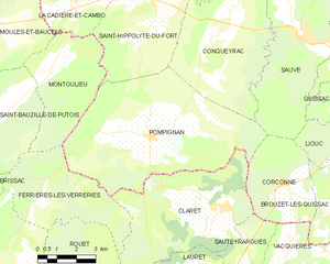
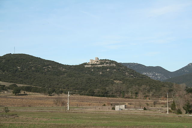
Pompignan
- commune in Gard, France
- Country:
- Postal Code: 30170
- Coordinates: 43° 53' 38" N, 3° 51' 22" E
- GPS tracks (wikiloc): [Link]
- Area: 41.31 sq km
- Population: 922