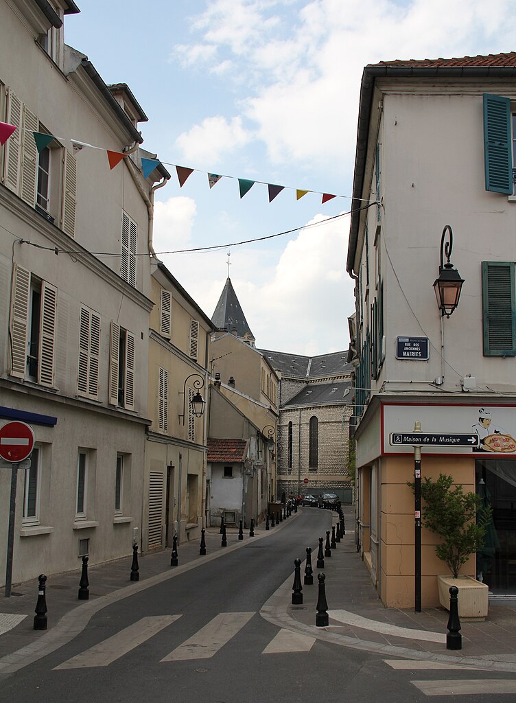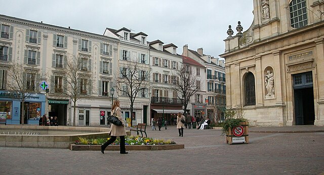
Suresnes (Suresnes)
- commune in Hauts-de-Seine, France
- Country:

- Postal Code: 92150
- Coordinates: 48° 52' 16" N, 2° 13' 37" E


- GPS tracks (wikiloc): [Link]
- AboveSeaLevel: 36 м m
- Area: 3.79 sq km
- Population: 48565
- Web site: http://www.ville-suresnes.fr
- Wikipedia en: wiki(en)
- Wikipedia: wiki(fr)
- Wikidata storage: Wikidata: Q193929
- Wikipedia Commons Category: [Link]
- Wikipedia Commons Maps Category: [Link]
- Freebase ID: [/m/05_z4w]
- Freebase ID: [/m/05_z4w]
- GeoNames ID: Alt: [2973675]
- GeoNames ID: Alt: [2973675]
- SIREN number: [219200730]
- SIREN number: [219200730]
- BnF ID: [15280276n]
- BnF ID: [15280276n]
- VIAF ID: Alt: [236942393]
- VIAF ID: Alt: [236942393]
- GND ID: Alt: [4300919-0]
- GND ID: Alt: [4300919-0]
- archINFORM location ID: [702]
- archINFORM location ID: [702]
- Library of Congress authority ID: Alt: [n85307971]
- Library of Congress authority ID: Alt: [n85307971]
- MusicBrainz area ID: [e7b9eb69-fb3a-4d7d-85b5-444bb5ae0d71]
- MusicBrainz area ID: [e7b9eb69-fb3a-4d7d-85b5-444bb5ae0d71]
- Quora topic ID: [Suresnes]
- Quora topic ID: [Suresnes]
- Encyclopædia Britannica Online ID: [place/Suresnes]
- Encyclopædia Britannica Online ID: [place/Suresnes]
- Gran Enciclopèdia Catalana ID: [0064654]
- Gran Enciclopèdia Catalana ID: [0064654]
- Twitter username: Alt: [villedesuresnes]
- Twitter username: Alt: [villedesuresnes]
- YouTube channel ID: [UCsfI84R-ilqF_GiLN4iDpxQ]
- YouTube channel ID: [UCsfI84R-ilqF_GiLN4iDpxQ]
- Facebook ID: Alt: [villedesuresnes]
- Facebook ID: Alt: [villedesuresnes]
- Instagram location ID: [Suresnes]
- Instagram location ID: [Suresnes]
- Instagram username: [villedesuresnes]
- Instagram username: [villedesuresnes]
- INSEE municipality code: 92073
- INSEE municipality code: 92073
- US National Archives Identifier: 10045114
- US National Archives Identifier: 10045114
- LinkedIn company ID: ville-de-suresnes_2
- LinkedIn company ID: ville-de-suresnes_2
Shares border with regions:


Nanterre
- commune in Hauts-de-Seine, France
- Country:

- Postal Code: 92000
- Coordinates: 48° 53' 26" N, 2° 12' 13" E


- GPS tracks (wikiloc): [Link]
- AboveSeaLevel: 30 м m
- Area: 12.19 sq km
- Population: 93742
- Web site: [Link]


Saint-Cloud
- commune in Hauts-de-Seine, France
- Country:

- Postal Code: 92210
- Coordinates: 48° 50' 47" N, 2° 12' 55" E


- GPS tracks (wikiloc): [Link]
- AboveSeaLevel: 136 м m
- Area: 7.56 sq km
- Population: 29362
- Web site: [Link]


Rueil-Malmaison
- commune in Hauts-de-Seine, France
- Country:

- Postal Code: 92500
- Coordinates: 48° 52' 40" N, 2° 11' 18" E


- GPS tracks (wikiloc): [Link]
- Area: 14.7 sq km
- Population: 78794
- Web site: [Link]


Puteaux
- commune in Hauts-de-Seine, France
- Country:

- Postal Code: 92800
- Coordinates: 48° 53' 3" N, 2° 14' 17" E


- GPS tracks (wikiloc): [Link]
- AboveSeaLevel: 30 м m
- Area: 3.19 sq km
- Population: 45146
- Web site: [Link]

Paris
- capital and largest city of France
- Country:

- Postal Code: 75020; 75019; 75018; 75017; 75016; 75015; 75014; 75013; 75012; 75011; 75010; 75009; 75008; 75007; 75006; 75005; 75004; 75003; 75002; 75001; 75116
- Local Dialing Code: 1
- Licence Plate Code: 75
- Coordinates: 48° 51' 24" N, 2° 21' 7" E


- GPS tracks (wikiloc): [Link]
- AboveSeaLevel: 28 м m
- Area: 105.4 sq km
- Population: 2206488
- Web site: [Link]
