canton of Colombey-les-Belles (canton de Colombey-les-Belles)
- canton of France
- Country:

- Capital: Colombey-les-Belles
- Coordinates: 48° 28' 40" N, 5° 55' 11" E


- GPS tracks (wikiloc): [Link]
- Wikidata storage: Wikidata: Q1725007
- INSEE canton code: [5410]
Includes regions:
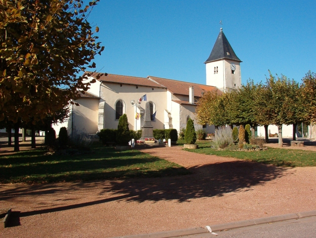

Barisey-au-Plain
- commune in Meurthe-et-Moselle, France
- Country:

- Postal Code: 54170
- Coordinates: 48° 31' 30" N, 5° 50' 38" E


- GPS tracks (wikiloc): [Link]
- AboveSeaLevel: 279 м m
- Area: 10.85 sq km
- Population: 406


Bagneux
- commune in Meurthe-et-Moselle, France
- Country:

- Postal Code: 54170
- Coordinates: 48° 33' 30" N, 5° 52' 57" E


- GPS tracks (wikiloc): [Link]
- Area: 8.6 sq km
- Population: 159


Crépey
- commune in Meurthe-et-Moselle, France
- Country:

- Postal Code: 54170
- Coordinates: 48° 31' 41" N, 5° 58' 18" E


- GPS tracks (wikiloc): [Link]
- Area: 20.9 sq km
- Population: 389

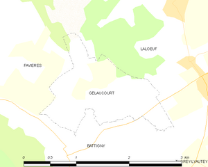
Gélaucourt
- commune in Meurthe-et-Moselle, France
- Country:

- Postal Code: 54115
- Coordinates: 48° 27' 17" N, 5° 59' 22" E


- GPS tracks (wikiloc): [Link]
- Area: 2.26 sq km
- Population: 64
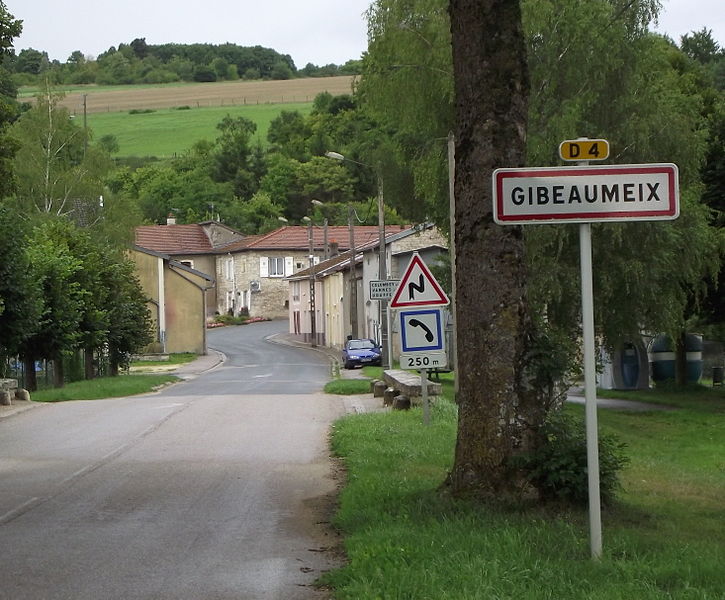

Gibeaumeix
- commune in Meurthe-et-Moselle, France
- Country:

- Postal Code: 54112
- Coordinates: 48° 34' 55" N, 5° 43' 57" E


- GPS tracks (wikiloc): [Link]
- Area: 7.8 sq km
- Population: 167

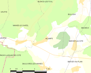
Allamps
- commune in Meurthe-et-Moselle, France
- Country:

- Postal Code: 54112
- Coordinates: 48° 32' 50" N, 5° 48' 34" E


- GPS tracks (wikiloc): [Link]
- Area: 7.21 sq km
- Population: 523
- Web site: [Link]

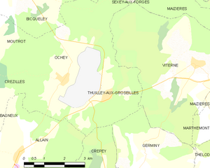
Thuilley-aux-Groseilles
- commune in Meurthe-et-Moselle, France
- Country:

- Postal Code: 54170
- Coordinates: 48° 34' 27" N, 5° 58' 22" E


- GPS tracks (wikiloc): [Link]
- Area: 9.12 sq km
- Population: 486


Mont-l'Étroit
- commune in Meurthe-et-Moselle, France
- Country:

- Postal Code: 54170
- Coordinates: 48° 29' 54" N, 5° 47' 5" E


- GPS tracks (wikiloc): [Link]
- Area: 6.42 sq km
- Population: 92
Vandeléville
- commune in Meurthe-et-Moselle, France
- Country:

- Postal Code: 54115
- Coordinates: 48° 25' 38" N, 5° 59' 39" E


- GPS tracks (wikiloc): [Link]
- Area: 9.86 sq km
- Population: 209
Pulney
- commune in Meurthe-et-Moselle, France
- Country:

- Postal Code: 54115
- Coordinates: 48° 23' 55" N, 6° 2' 1" E


- GPS tracks (wikiloc): [Link]
- Area: 4.4 sq km
- Population: 59


Favières
- commune in Meurthe-et-Moselle, France
- Country:

- Postal Code: 54115
- Coordinates: 48° 27' 46" N, 5° 57' 16" E


- GPS tracks (wikiloc): [Link]
- Area: 29.5 sq km
- Population: 600
Tramont-Émy
- commune in Meurthe-et-Moselle, France
- Country:

- Postal Code: 54115
- Coordinates: 48° 24' 26" N, 5° 56' 48" E


- GPS tracks (wikiloc): [Link]
- Area: 3.91 sq km
- Population: 31


Tramont-Saint-André
- commune in Meurthe-et-Moselle, France
- Country:

- Postal Code: 54115
- Coordinates: 48° 24' 26" N, 5° 55' 30" E


- GPS tracks (wikiloc): [Link]
- Area: 6.88 sq km
- Population: 58


Fécocourt
- commune in Meurthe-et-Moselle, France
- Country:

- Postal Code: 54115
- Coordinates: 48° 24' 16" N, 6° 0' 30" E


- GPS tracks (wikiloc): [Link]
- Area: 7.86 sq km
- Population: 109


Selaincourt
- commune in Meurthe-et-Moselle, France
- Country:

- Postal Code: 54170
- Coordinates: 48° 30' 0" N, 5° 58' 2" E


- GPS tracks (wikiloc): [Link]
- Area: 10.86 sq km
- Population: 173


Germiny
- commune in Meurthe-et-Moselle, France
- Country:

- Postal Code: 54170
- Coordinates: 48° 32' 51" N, 5° 59' 49" E


- GPS tracks (wikiloc): [Link]
- Area: 11.85 sq km
- Population: 200


Courcelles
- commune in Meurthe-et-Moselle, France
- Country:

- Postal Code: 54930
- Coordinates: 48° 22' 24" N, 6° 2' 16" E


- GPS tracks (wikiloc): [Link]
- AboveSeaLevel: 320 м m
- Area: 4.31 sq km
- Population: 103

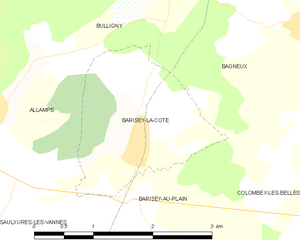
Barisey-la-Côte
- commune in Meurthe-et-Moselle, France
- Country:

- Postal Code: 54170
- Coordinates: 48° 32' 36" N, 5° 50' 33" E


- GPS tracks (wikiloc): [Link]
- Area: 3.87 sq km
- Population: 220
Uruffe
- commune in Meurthe-et-Moselle, France
- Country:

- Postal Code: 54112
- Coordinates: 48° 34' 9" N, 5° 44' 38" E


- GPS tracks (wikiloc): [Link]
- Area: 13.05 sq km
- Population: 396
- Web site: [Link]


Saulxures-lès-Vannes
- commune in Meurthe-et-Moselle, France
- Country:

- Postal Code: 54170
- Coordinates: 48° 31' 35" N, 5° 48' 26" E


- GPS tracks (wikiloc): [Link]
- Area: 18.04 sq km
- Population: 371

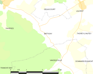
Battigny
- commune in Meurthe-et-Moselle, France
- Country:

- Postal Code: 54115
- Coordinates: 48° 26' 51" N, 5° 58' 48" E


- GPS tracks (wikiloc): [Link]
- Area: 6.41 sq km
- Population: 132


Colombey-les-Belles
- commune in Meurthe-et-Moselle, France
- Country:

- Postal Code: 54170
- Coordinates: 48° 31' 39" N, 5° 53' 50" E


- GPS tracks (wikiloc): [Link]
- Area: 17.59 sq km
- Population: 1449
- Web site: [Link]
Grimonviller
- commune in Meurthe-et-Moselle, France
- Country:

- Postal Code: 54115
- Coordinates: 48° 23' 7" N, 6° 0' 25" E


- GPS tracks (wikiloc): [Link]
- Area: 4.78 sq km
- Population: 97
Dolcourt
- commune in Meurthe-et-Moselle, France
- Country:

- Postal Code: 54170
- Coordinates: 48° 29' 25" N, 5° 58' 39" E


- GPS tracks (wikiloc): [Link]
- Area: 6.19 sq km
- Population: 126
Tramont-Lassus
- commune in Meurthe-et-Moselle, France
- Country:

- Postal Code: 54115
- Coordinates: 48° 23' 47" N, 5° 57' 42" E


- GPS tracks (wikiloc): [Link]
- Area: 5.76 sq km
- Population: 86


Aboncourt, Meurthe-et-Moselle
- commune in Meurthe-et-Moselle, France
- Country:

- Postal Code: 54115
- Coordinates: 48° 21' 29" N, 5° 58' 1" E


- GPS tracks (wikiloc): [Link]
- Area: 6.93 sq km
- Population: 104
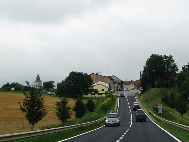
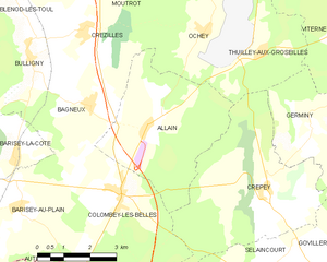
Allain
- commune in Meurthe-et-Moselle, France
- Country:

- Postal Code: 54170
- Coordinates: 48° 33' 0" N, 5° 54' 39" E


- GPS tracks (wikiloc): [Link]
- Area: 16.48 sq km
- Population: 470


Gémonville
- commune in Meurthe-et-Moselle, France
- Country:

- Postal Code: 54115
- Coordinates: 48° 24' 53" N, 5° 53' 5" E


- GPS tracks (wikiloc): [Link]
- Area: 9.03 sq km
- Population: 73


Vannes-le-Châtel
- commune in Meurthe-et-Moselle, France
- Country:

- Postal Code: 54112
- Coordinates: 48° 32' 45" N, 5° 46' 46" E


- GPS tracks (wikiloc): [Link]
- Area: 17.3 sq km
- Population: 574
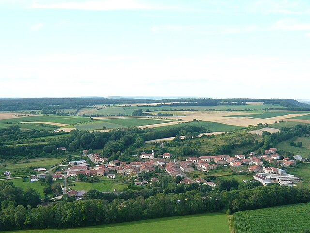

Beuvezin
- commune in Meurthe-et-Moselle, France
- Country:

- Postal Code: 54115
- Coordinates: 48° 22' 45" N, 5° 57' 33" E


- GPS tracks (wikiloc): [Link]
- Area: 7.72 sq km
- Population: 99