canton of Romorantin-Lanthenay-Sud (canton de Romorantin-Lanthenay-Sud)
- canton of France (until March 2015)
- Country:

- Capital: Romorantin-Lanthenay
- Coordinates: 47° 21' 41" N, 1° 45' 40" E


- GPS tracks (wikiloc): [Link]
- Wikidata storage: Wikidata: Q386828
- INSEE canton code: [4129]
Includes regions:

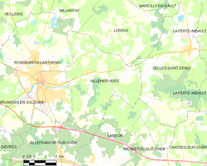
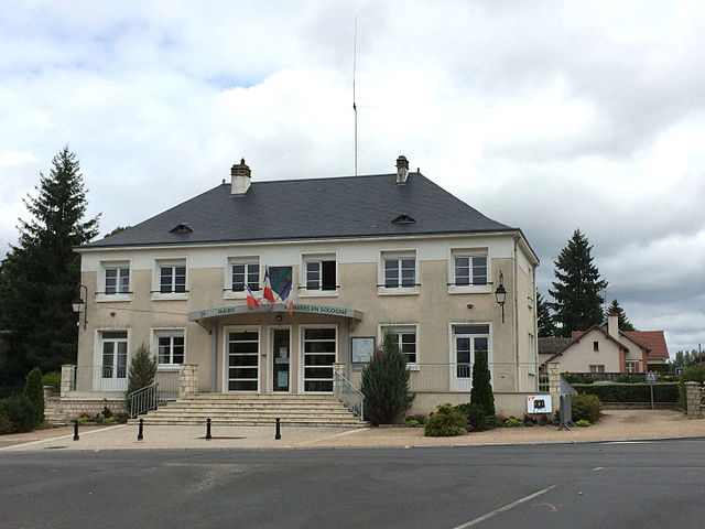
Villeherviers
- commune in Loir-et-Cher, France
- Country:
- Postal Code: 41200
- Coordinates: 47° 21' 58" N, 1° 47' 53" E
- GPS tracks (wikiloc): [Link]
- Area: 38.9 sq km
- Population: 477


Loreux
- commune in Loir-et-Cher, France
- Country:
- Postal Code: 41200
- Coordinates: 47° 23' 56" N, 1° 49' 51" E
- GPS tracks (wikiloc): [Link]
- Area: 29.95 sq km
- Population: 224


Romorantin-Lanthenay
- commune in Loir-et-Cher, France
- Country:
- Postal Code: 41200
- Coordinates: 47° 21' 30" N, 1° 44' 34" E
- GPS tracks (wikiloc): [Link]
- Area: 45.31 sq km
- Population: 17748
- Web site: [Link]

Pruniers-en-Sologne
- commune in Loir-et-Cher, France
- Country:
- Postal Code: 41200
- Coordinates: 47° 19' 22" N, 1° 40' 16" E
- GPS tracks (wikiloc): [Link]
- Area: 43.84 sq km
- Population: 2424