Romorantin-Lanthenay (Romorantin-Lanthenay)

- commune in Loir-et-Cher, France
- Country:

- Postal Code: 41200
- Coordinates: 47° 21' 30" N, 1° 44' 34" E


- GPS tracks (wikiloc): [Link]
- Area: 45.31 sq km
- Population: 17748
- Web site: http://www.romorantin.com/
- Wikipedia en: wiki(en)
- Wikipedia: wiki(fr)
- Wikidata storage: Wikidata: Q214600
- Wikipedia Commons Category: [Link]
- Freebase ID: [/m/08sggp]
- Freebase ID: [/m/08sggp]
- GeoNames ID: Alt: [2982967]
- GeoNames ID: Alt: [2982967]
- SIREN number: [214101941]
- SIREN number: [214101941]
- BnF ID: [152594684]
- BnF ID: [152594684]
- VIAF ID: Alt: [236118735]
- VIAF ID: Alt: [236118735]
- GND ID: Alt: [4602395-1]
- GND ID: Alt: [4602395-1]
- archINFORM location ID: [42365]
- archINFORM location ID: [42365]
- PACTOLS thesaurus ID: [pcrtd6L8A1ydfE]
- PACTOLS thesaurus ID: [pcrtd6L8A1ydfE]
- EMLO location ID: [8ae04c3d-7062-4962-8bd6-85ad158a5e90]
- EMLO location ID: [8ae04c3d-7062-4962-8bd6-85ad158a5e90]
- INSEE municipality code: 41194
- INSEE municipality code: 41194
Shares border with regions:


Veilleins
- commune in Loir-et-Cher, France
- Country:
- Postal Code: 41230
- Coordinates: 47° 25' 15" N, 1° 40' 13" E
- GPS tracks (wikiloc): [Link]
- Area: 43.26 sq km
- Population: 159

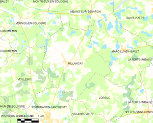
Millançay
- commune in Loir-et-Cher, France
- Country:
- Postal Code: 41200
- Coordinates: 47° 26' 49" N, 1° 46' 22" E
- GPS tracks (wikiloc): [Link]
- Area: 57.94 sq km
- Population: 771

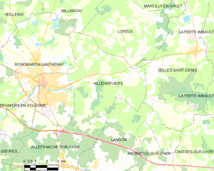
Villeherviers
- commune in Loir-et-Cher, France
- Country:
- Postal Code: 41200
- Coordinates: 47° 21' 58" N, 1° 47' 53" E
- GPS tracks (wikiloc): [Link]
- Area: 38.9 sq km
- Population: 477

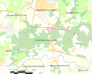
Villefranche-sur-Cher
- commune in Loir-et-Cher, France
- Country:
- Postal Code: 41200
- Coordinates: 47° 18' 0" N, 1° 46' 0" E
- GPS tracks (wikiloc): [Link]
- AboveSeaLevel: 98 м m
- Area: 27.23 sq km
- Population: 2731

Pruniers-en-Sologne
- commune in Loir-et-Cher, France
- Country:
- Postal Code: 41200
- Coordinates: 47° 19' 22" N, 1° 40' 16" E
- GPS tracks (wikiloc): [Link]
- Area: 43.84 sq km
- Population: 2424