canton of Saint-Étienne-de-Saint-Geoirs (canton de Saint-Étienne-de-Saint-Geoirs)
- canton of France
 Hiking in canton of Saint-Étienne-de-Saint-Geoirs
Canton de Saint-Étienne-de-Saint-Geoirs is a beautiful area located in the Isère department in the Auvergne-Rhône-Alpes region of France. This region offers a variety of hiking opportunities, suitable for both beginners and experienced hikers.
Hiking Trails
-
Local Trails: The canton features numerous well-marked hiking paths that take you through various landscapes, including forests, rolling hills, and scenic views of the Alps. You can explore trails that lead to charming villages and historical sites.
-
Plateau de Dahlen: A popular hiking area, the plateau is known for its panoramic views and diverse flora and fauna. There are hikes of varying difficulty that can cater to families and seasoned trekker alike.
-
The Vercors Regional Natural Park: Located not too far from the canton, Vercors offers stunning hiking routes. The park features dramatic cliffs, lush forests, and remarkable geological formations. Though it requires a bit of travel, it’s worth it for those looking for a more rugged hiking experience.
Tips for Hiking
- Prepare Adequately: Always check the weather forecast and pack accordingly. Bring plenty of water, snacks, a map or GPS device, and a first-aid kit.
- Footwear: Wear appropriate hiking shoes or boots to ensure comfort and foot support, especially on uneven terrain.
- Stay on Marked Trails: To protect the natural habitat, stick to designated paths and avoid wandering off-trail.
- Plan Your Route: Familiarize yourself with the trail lengths, difficulty levels, and estimated times. Start with shorter trails if you are new to hiking.
Local Flora and Fauna
The canton is home to rich biodiversity, including various plant species and wildlife. Keep your eyes open for local birds and other fauna, particularly around the natural water sources.
Conclusion
Hiking in Canton de Saint-Étienne-de-Saint-Geoirs offers an excellent way to enjoy the beauty of the Isère region. Whether you're looking for a leisurely walk or a challenging trek, there are options available to suit all preferences. Always ensure safety and respect for the environment as you explore these beautiful trails!
- Country:

- Capital: Saint-Étienne-de-Saint-Geoirs
- Coordinates: 45° 18' 1" N, 5° 23' 4" E


- GPS tracks (wikiloc): [Link]
- Wikidata storage: Wikidata: Q1727376
- INSEE canton code: [3826]
Includes regions:


Brézins
- commune in Isère, France
Brézins is a small commune located in the Isère department in the Auvergne-Rhône-Alpes region of southeastern France. While it may not be one of the most popular hiking destinations, it serves as a great starting point for exploring the surrounding natural beauty of the region, including the stunning landscapes of the Chartreuse and Vercors mountains....
- Country:

- Postal Code: 38590
- Coordinates: 45° 20' 57" N, 5° 18' 24" E


- GPS tracks (wikiloc): [Link]
- Area: 8.26 sq km
- Population: 2042
- Web site: [Link]


Brion
- commune in Isère, France
Brion, located in the Isère department of the Auvergne-Rhône-Alpes region in southeastern France, offers a variety of scenic hiking opportunities that showcase the natural beauty of the surrounding landscapes. Here are some key points to consider when hiking in Brion:...
- Country:

- Postal Code: 38590
- Coordinates: 45° 17' 34" N, 5° 20' 18" E


- GPS tracks (wikiloc): [Link]
- Area: 3.94 sq km
- Population: 138
- Web site: [Link]
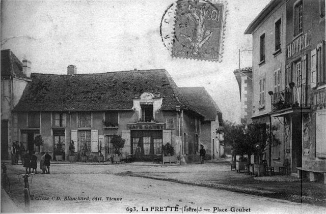

La Frette
- commune in Isère, France
La Frette, located in the Isère department of southeastern France, offers a variety of hiking opportunities that cater to different skill levels and preferences. Nestled in the picturesque landscape of the French Alps, La Frette is surrounded by stunning scenery, including mountains, forests, and rivers....
- Country:

- Postal Code: 38260
- Coordinates: 45° 23' 26" N, 5° 21' 38" E


- GPS tracks (wikiloc): [Link]
- Area: 11.8 sq km
- Population: 1108
- Web site: [Link]

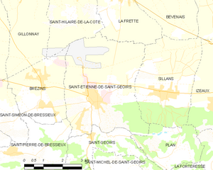
Saint-Étienne-de-Saint-Geoirs
- commune in Isère, France
 Hiking in Saint-Étienne-de-Saint-Geoirs
Saint-Étienne-de-Saint-Geoirs, located in the Auvergne-Rhône-Alpes region of France, is surrounded by beautiful natural landscapes that are ideal for hiking enthusiasts. Here are some highlights and recommendations for hiking in this area:...
- Country:

- Postal Code: 38590
- Coordinates: 45° 20' 20" N, 5° 20' 43" E


- GPS tracks (wikiloc): [Link]
- Area: 18.62 sq km
- Population: 3259
- Web site: [Link]


Sillans
- commune in Isère, France
Sillans, nestled in the scenic Var department of Provence, France, is a beautiful destination for hiking enthusiasts. The area is known for its stunning natural landscapes, including lush forests, rolling hills, and picturesque waterfalls. Here are some highlights and information about hiking in Sillans:...
- Country:

- Postal Code: 38590
- Coordinates: 45° 20' 27" N, 5° 23' 20" E


- GPS tracks (wikiloc): [Link]
- Area: 12.61 sq km
- Population: 1885
- Web site: [Link]
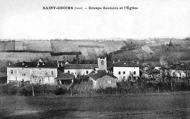

Saint-Geoirs
- commune in Isère, France
Saint-Geoirs is a charming commune in the Isère department of the Auvergne-Rhône-Alpes region in southeastern France. While it's not as famous for hiking as some larger national parks or mountainous areas, there are still plenty of opportunities for outdoor enthusiasts to enjoy the natural surroundings....
- Country:

- Postal Code: 38590
- Coordinates: 45° 19' 20" N, 5° 21' 17" E


- GPS tracks (wikiloc): [Link]
- Area: 6.93 sq km
- Population: 523
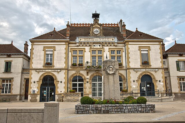

Saint-Siméon-de-Bressieux
- commune in Isère, France
 Hiking in Saint-Siméon-de-Bressieux
Saint-Siméon-de-Bressieux is a charming village located in the Isère department in the Auvergne-Rhône-Alpes region of France. The surrounding area offers stunning natural landscapes, making it an excellent spot for hiking enthusiasts....
- Country:

- Postal Code: 38870
- Coordinates: 45° 19' 42" N, 5° 15' 42" E


- GPS tracks (wikiloc): [Link]
- Area: 18.79 sq km
- Population: 2876
- Web site: [Link]

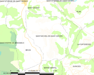
Saint-Michel-de-Saint-Geoirs
- commune in Isère, France
 Hiking in Saint-Michel-de-Saint-Geoirs
Saint-Michel-de-Saint-Geoirs is a small commune located in the Isère department of the Auvergne-Rhône-Alpes region in southeastern France. While it may not be as widely known as some larger hiking destinations, it offers a variety of outdoor activities in its natural surroundings, especially for those looking to explore the beautiful scenery of the region....
- Country:

- Postal Code: 38590
- Coordinates: 45° 18' 19" N, 5° 21' 21" E


- GPS tracks (wikiloc): [Link]
- Area: 7.14 sq km
- Population: 307
- Web site: [Link]


Saint-Pierre-de-Bressieux
- commune in Isère, France
 Hiking in Saint-Pierre-de-Bressieux
Saint-Pierre-de-Bressieux is a charming commune located in the Isère department of France, nestled in the picturesque region of Auvergne-Rhône-Alpes. Hiking around this area offers beautiful landscapes, varying terrains, and opportunities to explore the local flora and fauna....
- Country:

- Postal Code: 38870
- Coordinates: 45° 18' 56" N, 5° 17' 7" E


- GPS tracks (wikiloc): [Link]
- Area: 23.08 sq km
- Population: 766
- Web site: [Link]


Plan
- commune in Isère, France
Plan, located in the Isère department in the Auvergne-Rhône-Alpes region of France, is a fantastic area for hiking enthusiasts. The region is characterized by stunning natural beauty, including mountains, valleys, and rivers, making it an ideal destination for both casual walkers and experienced hikers. Here are some key aspects of hiking in and around Plan, Isère:...
- Country:

- Postal Code: 38590
- Coordinates: 45° 18' 46" N, 5° 23' 33" E


- GPS tracks (wikiloc): [Link]
- Area: 6.1 sq km
- Population: 256
- Web site: [Link]
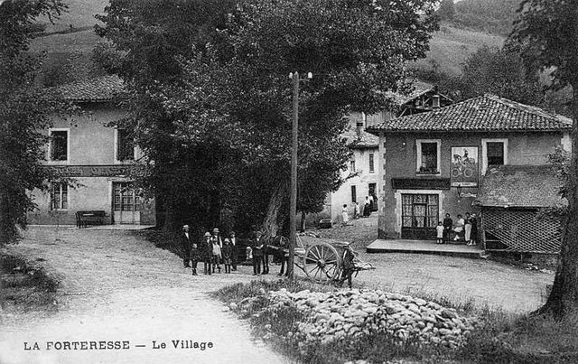
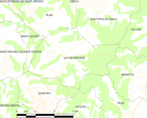
La Forteresse
- commune in Isère, France
La Forteresse, located in the Vosges Mountains of northeastern France, is a popular destination for hiking enthusiasts. The area is known for its stunning natural beauty, rich history, and diverse trails that cater to various skill levels. Here are some key points to consider when hiking in La Forteresse:...
- Country:

- Postal Code: 38590
- Coordinates: 45° 17' 41" N, 5° 24' 13" E


- GPS tracks (wikiloc): [Link]
- Area: 9.22 sq km
- Population: 324

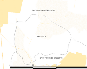
Bressieux
- commune in Isère, France
Bressieux, located in the Isère department of the Auvergne-Rhône-Alpes region in France, offers a variety of hiking opportunities suitable for different skill levels and preferences. The region is known for its beautiful natural landscapes, which include rolling hills, forests, and views of the surrounding mountains....
- Country:

- Postal Code: 38870
- Coordinates: 45° 19' 21" N, 5° 16' 36" E


- GPS tracks (wikiloc): [Link]
- Area: 0.89 sq km
- Population: 88