canton of Saint-Germain-Laval (canton de Saint-Germain-Laval)
- canton of France
- Country:

- Capital: Saint-Germain-Laval
- Coordinates: 45° 51' 56" N, 4° 0' 34" E


- GPS tracks (wikiloc): [Link]
- Wikipedia en: wiki(en)
- Wikipedia: wiki(fr)
- Wikidata storage: Wikidata: Q1727156
- INSEE canton code: [4226]
Includes regions:
Saint-Polgues
- commune in Loire, France
- Country:
- Postal Code: 42260
- Coordinates: 45° 54' 44" N, 3° 58' 30" E
- GPS tracks (wikiloc): [Link]
- Area: 5.77 sq km
- Population: 256
Souternon
- commune in Loire, France
- Country:
- Postal Code: 42260
- Coordinates: 45° 52' 9" N, 3° 59' 16" E
- GPS tracks (wikiloc): [Link]
- Area: 17.05 sq km
- Population: 296
Saint-Martin-la-Sauveté
- commune in Loire, France
- Country:
- Postal Code: 42260
- Coordinates: 45° 49' 58" N, 3° 55' 25" E
- GPS tracks (wikiloc): [Link]
- Area: 29.74 sq km
- Population: 984
- Web site: [Link]


Saint-Germain-Laval
- commune in Loire, France
- Country:
- Postal Code: 42260
- Coordinates: 45° 49' 49" N, 4° 0' 45" E
- GPS tracks (wikiloc): [Link]
- Area: 17.08 sq km
- Population: 1648
- Web site: [Link]
Saint-Julien-d'Oddes
- commune in Loire, France
- Country:
- Postal Code: 42260
- Coordinates: 45° 50' 53" N, 3° 59' 46" E
- GPS tracks (wikiloc): [Link]
- Area: 10.41 sq km
- Population: 267
Nollieux
- commune in Loire, France
- Country:
- Postal Code: 42260
- Coordinates: 45° 48' 59" N, 3° 59' 49" E
- GPS tracks (wikiloc): [Link]
- Area: 6.95 sq km
- Population: 194


Dancé
- commune in Loire, France
- Country:
- Postal Code: 42260
- Coordinates: 45° 54' 8" N, 4° 1' 32" E
- GPS tracks (wikiloc): [Link]
- Area: 8.83 sq km
- Population: 170


Grézolles
- commune in Loire, France
- Country:
- Postal Code: 42260
- Coordinates: 45° 51' 48" N, 3° 57' 4" E
- GPS tracks (wikiloc): [Link]
- AboveSeaLevel: 570 м m
- Area: 5.6 sq km
- Population: 273

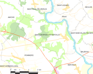
Saint-Georges-de-Baroille
- commune in Loire, France
- Country:
- Postal Code: 42510
- Coordinates: 45° 50' 59" N, 4° 7' 52" E
- GPS tracks (wikiloc): [Link]
- Area: 15.24 sq km
- Population: 404
- Web site: [Link]

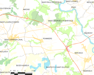
Pommiers
- commune in Loire, France
- Country:
- Postal Code: 42260
- Coordinates: 45° 49' 45" N, 4° 3' 55" E
- GPS tracks (wikiloc): [Link]
- Area: 23.84 sq km
- Population: 362
- Web site: [Link]