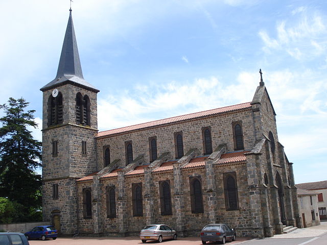
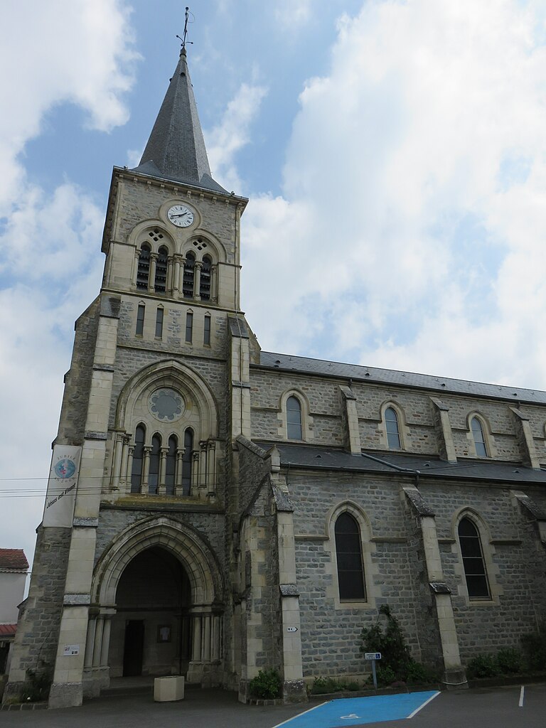
Saint-Georges-de-Baroille (Saint-Georges-de-Baroille)

- commune in Loire, France
- Country:

- Postal Code: 42510
- Coordinates: 45° 50' 59" N, 4° 7' 52" E


- GPS tracks (wikiloc): [Link]
- Area: 15.24 sq km
- Population: 404
- Web site: http://www.saintgeorgesdebaroille.com/
- Wikipedia en: wiki(en)
- Wikipedia: wiki(fr)
- Wikidata storage: Wikidata: Q1388458
- Wikipedia Commons Category: [Link]
- Freebase ID: [/m/03nw8m7]
- Freebase ID: [/m/03nw8m7]
- GeoNames ID: Alt: [6434266]
- GeoNames ID: Alt: [6434266]
- SIREN number: [214202269]
- SIREN number: [214202269]
- BnF ID: [15259794h]
- BnF ID: [15259794h]
- Library of Congress authority ID: Alt: [n85325849]
- Library of Congress authority ID: Alt: [n85325849]
- INSEE municipality code: 42226
- INSEE municipality code: 42226
Shares border with regions:
Amions
- commune in Loire, France
- Country:
- Postal Code: 42260
- Coordinates: 45° 52' 41" N, 4° 2' 2" E
- GPS tracks (wikiloc): [Link]
- Area: 17.01 sq km
- Population: 288
- Web site: [Link]

Saint-Paul-de-Vézelin
- commune in Loire, France
- Country:
- Postal Code: 42590
- Coordinates: 45° 53' 5" N, 4° 5' 7" E
- GPS tracks (wikiloc): [Link]
- Area: 13.52 sq km
- Population: 316


Saint-Marcel-de-Félines
- commune in Loire, France
- Country:
- Postal Code: 42122
- Coordinates: 45° 52' 6" N, 4° 11' 29" E
- GPS tracks (wikiloc): [Link]
- Area: 22.43 sq km
- Population: 826
- Web site: [Link]


Pinay
- commune in Loire, France
- Country:
- Postal Code: 42590
- Coordinates: 45° 52' 24" N, 4° 8' 14" E
- GPS tracks (wikiloc): [Link]
- Area: 6.62 sq km
- Population: 277

Nervieux
- commune in Loire, France
- Country:
- Postal Code: 42510
- Coordinates: 45° 48' 19" N, 4° 9' 17" E
- GPS tracks (wikiloc): [Link]
- Area: 19.44 sq km
- Population: 976
- Web site: [Link]


Balbigny
- commune in Loire, France
- Country:
- Postal Code: 42510
- Coordinates: 45° 49' 5" N, 4° 11' 14" E
- GPS tracks (wikiloc): [Link]
- Area: 16.98 sq km
- Population: 2989
- Web site: [Link]

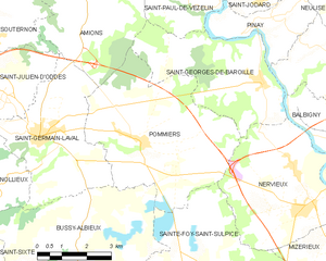
Pommiers
- commune in Loire, France
- Country:
- Postal Code: 42260
- Coordinates: 45° 49' 45" N, 4° 3' 55" E
- GPS tracks (wikiloc): [Link]
- Area: 23.84 sq km
- Population: 362
- Web site: [Link]