Chabris (Chabris)

- commune in Indre, France
- Country:

- Postal Code: 36210
- Coordinates: 47° 15' 18" N, 1° 39' 12" E


- GPS tracks (wikiloc): [Link]
- Area: 41.22 sq km
- Population: 2737
- Wikipedia en: wiki(en)
- Wikipedia: wiki(fr)
- Wikidata storage: Wikidata: Q1080911
- Wikipedia Commons Category: [Link]
- Freebase ID: [/m/03nvb27]
- GeoNames ID: Alt: [3027673]
- SIREN number: [213600349]
- BnF ID: [15257338f]
- VIAF ID: Alt: [167672428]
- GND ID: Alt: [7716143-9]
- WOEID: [583803]
- Digital Atlas of the Roman Empire ID: [15502]
- Pleiades ID: [138284]
- INSEE municipality code: 36034
Shares border with regions:

La Vernelle
- commune in Indre, France
- Country:
- Postal Code: 36600
- Coordinates: 47° 14' 53" N, 1° 32' 35" E
- GPS tracks (wikiloc): [Link]
- Area: 17.08 sq km
- Population: 760
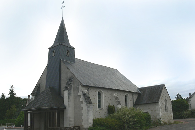
Sembleçay
- commune in Indre, France
- Country:
- Postal Code: 36210
- Coordinates: 47° 13' 19" N, 1° 40' 56" E
- GPS tracks (wikiloc): [Link]
- Area: 8.08 sq km
- Population: 102
Parpeçay
- former commune in Indre, France
- Country:
- Postal Code: 36210
- Coordinates: 47° 12' 28" N, 1° 39' 8" E
- GPS tracks (wikiloc): [Link]
- Area: 14.55 sq km
- Population: 219
Menetou-sur-Nahon
- commune in Indre, France
- Country:
- Postal Code: 36210
- Coordinates: 47° 13' 7" N, 1° 38' 56" E
- GPS tracks (wikiloc): [Link]
- Area: 6.98 sq km
- Population: 119


Dun-le-Poëlier
- commune in Indre, France
- Country:
- Postal Code: 36210
- Coordinates: 47° 12' 14" N, 1° 45' 13" E
- GPS tracks (wikiloc): [Link]
- Area: 22.56 sq km
- Population: 447


Gièvres
- commune in Loir-et-Cher, France
- Country:
- Postal Code: 41130
- Coordinates: 47° 16' 35" N, 1° 40' 8" E
- GPS tracks (wikiloc): [Link]
- Area: 38.05 sq km
- Population: 2556
- Web site: [Link]
La Chapelle-Montmartin
- commune in Loir-et-Cher, France
- Country:
- Postal Code: 41320
- Coordinates: 47° 16' 13" N, 1° 44' 23" E
- GPS tracks (wikiloc): [Link]
- AboveSeaLevel: 124 м m
- Area: 10.72 sq km
- Population: 436


Selles-sur-Cher
- commune in Loir-et-Cher, France
- Country:
- Postal Code: 41130
- Coordinates: 47° 16' 32" N, 1° 33' 17" E
- GPS tracks (wikiloc): [Link]
- Area: 25.74 sq km
- Population: 4625
- Web site: [Link]