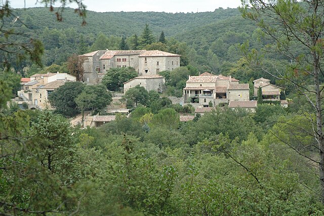
Corconne (Corconne)

- commune in Gard, France
- Country:

- Postal Code: 30260
- Coordinates: 43° 52' 19" N, 3° 56' 22" E


- GPS tracks (wikiloc): [Link]
- Area: 12.98 sq km
- Population: 540
- Web site: http://www.corconne.fr
- Wikipedia en: wiki(en)
- Wikipedia: wiki(fr)
- Wikidata storage: Wikidata: Q844896
- Wikipedia Commons Category: [Link]
- Freebase ID: [/m/03c0twg]
- GeoNames ID: Alt: [6448236]
- SIREN number: [213000953]
- BnF ID: [15254735s]
- PACTOLS thesaurus ID: [pcrtSWRtx47FKI]
- WOEID: [12659845]
- INSEE municipality code: 30095
Shares border with regions:


Claret
- commune in Hérault, France
- Country:
- Postal Code: 34270
- Coordinates: 43° 51' 43" N, 3° 54' 17" E
- GPS tracks (wikiloc): [Link]
- Area: 28.27 sq km
- Population: 1477
- Web site: [Link]


Sauteyrargues
- commune in Hérault, France
- Country:
- Postal Code: 34270
- Coordinates: 43° 50' 20" N, 3° 55' 9" E
- GPS tracks (wikiloc): [Link]
- Area: 12.76 sq km
- Population: 400

Vacquières
- commune in Hérault, France
- Country:
- Postal Code: 34270
- Coordinates: 43° 50' 40" N, 3° 56' 43" E
- GPS tracks (wikiloc): [Link]
- AboveSeaLevel: 70 м m
- Area: 14.74 sq km
- Population: 534


Liouc
- commune in Gard, France
- Country:
- Postal Code: 30260
- Coordinates: 43° 53' 39" N, 3° 59' 56" E
- GPS tracks (wikiloc): [Link]
- Area: 9.64 sq km
- Population: 251
- Web site: [Link]

Sauve
- commune in Gard, France
- Country:
- Postal Code: 30610
- Coordinates: 43° 56' 33" N, 3° 56' 55" E
- GPS tracks (wikiloc): [Link]
- Area: 31.56 sq km
- Population: 1943
Brouzet-lès-Quissac
- commune in Gard, France
- Country:
- Postal Code: 30260
- Coordinates: 43° 51' 43" N, 3° 59' 23" E
- GPS tracks (wikiloc): [Link]
- Area: 15.94 sq km
- Population: 274
- Web site: [Link]

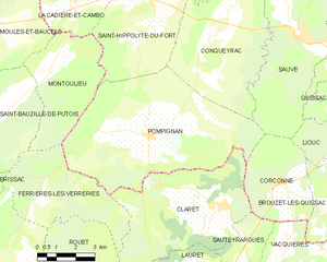
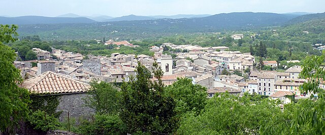
Pompignan
- commune in Gard, France
- Country:
- Postal Code: 30170
- Coordinates: 43° 53' 38" N, 3° 51' 22" E
- GPS tracks (wikiloc): [Link]
- Area: 41.31 sq km
- Population: 922