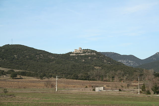
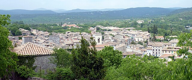
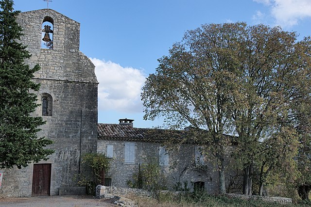
Pompignan (Pompignan)

- commune in Gard, France
- Country:

- Postal Code: 30170
- Coordinates: 43° 53' 38" N, 3° 51' 22" E


- GPS tracks (wikiloc): [Link]
- Area: 41.31 sq km
- Population: 922
- Wikipedia en: wiki(en)
- Wikipedia: wiki(fr)
- Wikidata storage: Wikidata: Q863776
- Wikipedia Commons Category: [Link]
- Freebase ID: [/m/03c81b0]
- GeoNames ID: Alt: [6431356]
- SIREN number: [213002009]
- BnF ID: [15254840n]
- PACTOLS thesaurus ID: [pcrtZMkt4VUEvg]
- MusicBrainz area ID: [4788215e-55ad-4b46-9fe1-bd6beb929776]
- INSEE municipality code: 30200
Shares border with regions:


Claret
- commune in Hérault, France
- Country:
- Postal Code: 34270
- Coordinates: 43° 51' 43" N, 3° 54' 17" E
- GPS tracks (wikiloc): [Link]
- Area: 28.27 sq km
- Population: 1477
- Web site: [Link]
Ferrières-les-Verreries
- commune in Hérault, France
- Country:
- Postal Code: 34190
- Coordinates: 43° 52' 41" N, 3° 47' 50" E
- GPS tracks (wikiloc): [Link]
- Area: 17.42 sq km
- Population: 55

Montoulieu
- commune in Hérault, France
- Country:
- Postal Code: 34190
- Coordinates: 43° 55' 37" N, 3° 47' 26" E
- GPS tracks (wikiloc): [Link]
- Area: 16.1 sq km
- Population: 161
- Web site: [Link]

Sauve
- commune in Gard, France
- Country:
- Postal Code: 30610
- Coordinates: 43° 56' 33" N, 3° 56' 55" E
- GPS tracks (wikiloc): [Link]
- Area: 31.56 sq km
- Population: 1943


Saint-Hippolyte-du-Fort
- commune in Gard, France
- Country:
- Postal Code: 30170
- Coordinates: 43° 57' 57" N, 3° 51' 21" E
- GPS tracks (wikiloc): [Link]
- Area: 29.38 sq km
- Population: 3937
- Web site: [Link]


Corconne
- commune in Gard, France
- Country:
- Postal Code: 30260
- Coordinates: 43° 52' 19" N, 3° 56' 22" E
- GPS tracks (wikiloc): [Link]
- Area: 12.98 sq km
- Population: 540
- Web site: [Link]

Conqueyrac
- commune in Gard, France
- Country:
- Postal Code: 30170
- Coordinates: 43° 56' 48" N, 3° 54' 31" E
- GPS tracks (wikiloc): [Link]
- Area: 27.18 sq km
- Population: 105