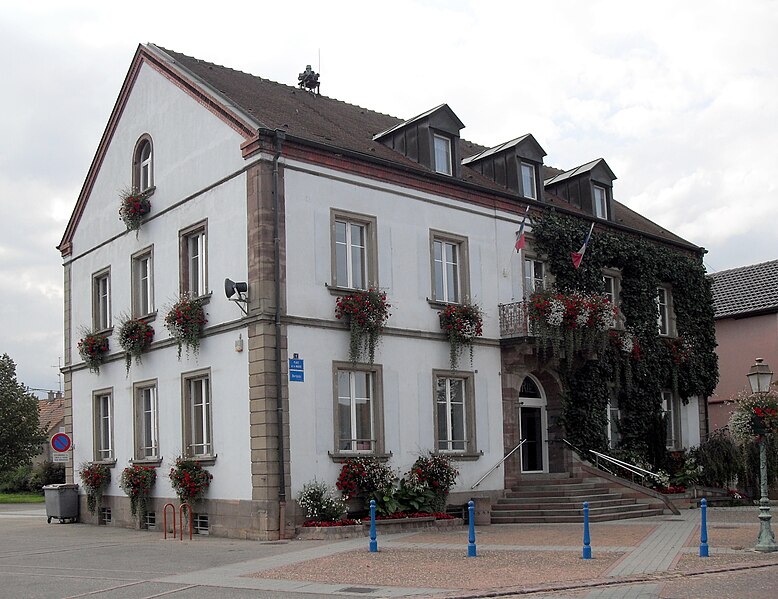
Ensisheim (Ensisheim)

- commune in Haut-Rhin, France
- Country:

- Postal Code: 68190
- Coordinates: 47° 51' 56" N, 7° 21' 9" E


- GPS tracks (wikiloc): [Link]
- Area: 36.59 sq km
- Population: 7423
- Web site: http://ensisheim.net/
- Wikipedia en: wiki(en)
- Wikipedia: wiki(fr)
- Wikidata storage: Wikidata: Q455645
- Wikipedia Commons Category: [Link]
- Freebase ID: [/m/0gl3rb]
- Freebase ID: [/m/0gl3rb]
- GeoNames ID: Alt: [3020152]
- GeoNames ID: Alt: [3020152]
- SIREN number: [216800821]
- SIREN number: [216800821]
- BnF ID: [15271784p]
- BnF ID: [15271784p]
- VIAF ID: Alt: [151278368]
- VIAF ID: Alt: [151278368]
- GND ID: Alt: [4014832-4]
- GND ID: Alt: [4014832-4]
- Library of Congress authority ID: Alt: [n81048088]
- Library of Congress authority ID: Alt: [n81048088]
- MusicBrainz area ID: [660390aa-758f-4a8b-9205-880adecb8eba]
- MusicBrainz area ID: [660390aa-758f-4a8b-9205-880adecb8eba]
- WOEID: [589684]
- WOEID: [589684]
- EMLO location ID: [327fbdde-1063-4208-8da2-3415245f508c]
- EMLO location ID: [327fbdde-1063-4208-8da2-3415245f508c]
- Global Anabaptist Mennonite Encyclopedia Online ID: [Ensisheim (Alsace, France)]
- Global Anabaptist Mennonite Encyclopedia Online ID: [Ensisheim (Alsace, France)]
- INSEE municipality code: 68082
- INSEE municipality code: 68082
Shares border with regions:

Ungersheim
- commune in Haut-Rhin, France
- Country:
- Postal Code: 68190
- Coordinates: 47° 52' 43" N, 7° 18' 17" E
- GPS tracks (wikiloc): [Link]
- Area: 13.51 sq km
- Population: 2177
- Web site: [Link]

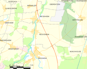
Réguisheim
- commune in Haut-Rhin, France
- Country:
- Postal Code: 68890
- Coordinates: 47° 53' 50" N, 7° 21' 21" E
- GPS tracks (wikiloc): [Link]
- Area: 23.87 sq km
- Population: 1851


Ruelisheim
- commune in Haut-Rhin, France
 Hiking in Ruelisheim
Ruelisheim, located in the Alsace region of France, offers a charming setting for hiking enthusiasts. While it may not be as widely known as some larger hiking destinations, the area has its own unique appeal....
- Country:
- Postal Code: 68270
- Coordinates: 47° 49' 23" N, 7° 21' 30" E
- GPS tracks (wikiloc): [Link]
- Area: 7.27 sq km
- Population: 2278
- Web site: [Link]


Munchhouse
- commune in Haut-Rhin, France
Hiking in Munchhouse
Munchhouse is a quaint and lesser-known destination for hiking enthusiasts, nestled in the natural beauty of the surrounding landscapes. While it may not be as popular as other hiking areas, it offers a unique experience for those willing to explore its trails. Here are some key points to consider when hiking in Munchhouse:...
- Country:
- Postal Code: 68740
- Coordinates: 47° 52' 6" N, 7° 27' 3" E
- GPS tracks (wikiloc): [Link]
- Area: 24.05 sq km
- Population: 1574


Pulversheim
- commune in Haut-Rhin, France
- Country:
- Postal Code: 68840
- Coordinates: 47° 50' 13" N, 7° 18' 20" E
- GPS tracks (wikiloc): [Link]
- Area: 8.54 sq km
- Population: 2921


Battenheim
- commune in Haut-Rhin, France
Hiking in Battenheim
Battenheim, located in the Alsace region of France, offers a variety of scenic landscapes and hiking opportunities for outdoor enthusiasts. Its proximity to the Vosges Mountains and the Rhine River makes it an attractive destination for nature lovers. Here are some key points about hiking in the Battenheim area:...
- Country:
- Postal Code: 68390
- Coordinates: 47° 49' 11" N, 7° 22' 54" E
- GPS tracks (wikiloc): [Link]
- Area: 16.88 sq km
- Population: 1508