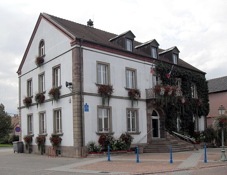
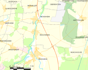
Réguisheim (Réguisheim)
- commune in Haut-Rhin, France
- Country:

- Postal Code: 68890
- Coordinates: 47° 53' 50" N, 7° 21' 21" E


- GPS tracks (wikiloc): [Link]
- Area: 23.87 sq km
- Population: 1851
- Wikipedia en: wiki(en)
- Wikipedia: wiki(fr)
- Wikidata storage: Wikidata: Q148661
- Wikipedia Commons Category: [Link]
- Freebase ID: [/m/03nstm7]
- Freebase ID: [/m/03nstm7]
- GeoNames ID: Alt: [6613996]
- GeoNames ID: Alt: [6613996]
- SIREN number: [216802660]
- SIREN number: [216802660]
- BnF ID: [152719680]
- BnF ID: [152719680]
- VIAF ID: Alt: [243214764]
- VIAF ID: Alt: [243214764]
- INSEE municipality code: 68266
- INSEE municipality code: 68266
Shares border with regions:


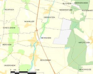
Meyenheim
- commune in Haut-Rhin, France
- Country:

- Postal Code: 68890
- Coordinates: 47° 54' 48" N, 7° 21' 21" E


- GPS tracks (wikiloc): [Link]
- Area: 12.78 sq km
- Population: 1455


Ungersheim
- commune in Haut-Rhin, France
- Country:

- Postal Code: 68190
- Coordinates: 47° 52' 43" N, 7° 18' 17" E


- GPS tracks (wikiloc): [Link]
- Area: 13.51 sq km
- Population: 2177
- Web site: [Link]


Merxheim
- commune in Haut-Rhin, France
- Country:

- Postal Code: 68500
- Coordinates: 47° 54' 39" N, 7° 17' 33" E


- GPS tracks (wikiloc): [Link]
- Area: 9.1 sq km
- Population: 1280


Munchhouse
- commune in Haut-Rhin, France
Munchhouse is a quaint and lesser-known destination for hiking enthusiasts, nestled in the natural beauty of the surrounding landscapes. While it may not be as popular as other hiking areas, it offers a unique experience for those willing to explore its trails. Here are some key points to consider when hiking in Munchhouse:...
- Country:

- Postal Code: 68740
- Coordinates: 47° 52' 6" N, 7° 27' 3" E


- GPS tracks (wikiloc): [Link]
- Area: 24.05 sq km
- Population: 1574


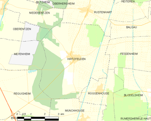
Hirtzfelden
- commune in Haut-Rhin, France
- Country:

- Postal Code: 68740
- Coordinates: 47° 54' 42" N, 7° 26' 43" E


- GPS tracks (wikiloc): [Link]
- Area: 22.1 sq km
- Population: 1217


Ensisheim
- commune in Haut-Rhin, France
- Country:

- Postal Code: 68190
- Coordinates: 47° 51' 56" N, 7° 21' 9" E


- GPS tracks (wikiloc): [Link]
- Area: 36.59 sq km
- Population: 7423
- Web site: [Link]

