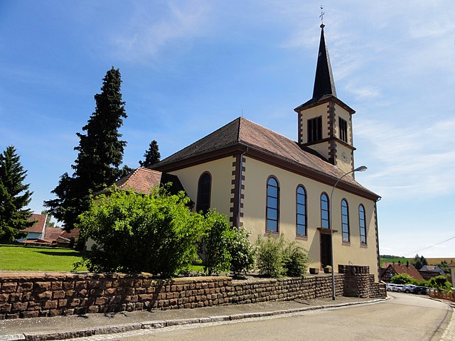
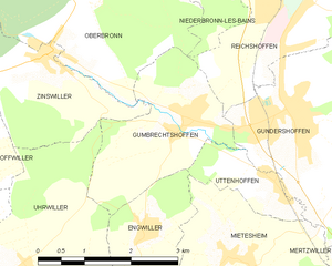
Gundershoffen (Gundershoffen)

- commune in Bas-Rhin, France
- Country:

- Postal Code: 67110
- Coordinates: 48° 54' 20" N, 7° 39' 47" E


- GPS tracks (wikiloc): [Link]
- Area: 17.55 sq km
- Population: 3633
- Web site: http://www.gundershoffen.fr
- Wikipedia en: wiki(en)
- Wikipedia: wiki(fr)
- Wikidata storage: Wikidata: Q22414
- Wikipedia Commons Category: [Link]
- Freebase ID: [/m/03m983h]
- Freebase ID: [/m/03m983h]
- GeoNames ID: Alt: [6441127]
- GeoNames ID: Alt: [6441127]
- SIREN number: [216701763]
- SIREN number: [216701763]
- BnF ID: [15271318s]
- BnF ID: [15271318s]
- VIAF ID: Alt: [245420120]
- VIAF ID: Alt: [245420120]
- INSEE municipality code: 67176
- INSEE municipality code: 67176
Shares border with regions:
Forstheim
- commune in Bas-Rhin, France
- Country:
- Postal Code: 67580
- Coordinates: 48° 53' 50" N, 7° 42' 51" E
- GPS tracks (wikiloc): [Link]
- Area: 5.05 sq km
- Population: 574
- Web site: [Link]


Morsbronn-les-Bains
- commune in Bas-Rhin, France
- Country:
- Postal Code: 67360
- Coordinates: 48° 54' 0" N, 7° 44' 31" E
- GPS tracks (wikiloc): [Link]
- Area: 6.87 sq km
- Population: 681
- Web site: [Link]


Reichshoffen
- commune in Bas-Rhin, France
- Country:
- Postal Code: 67110
- Coordinates: 48° 56' 4" N, 7° 39' 58" E
- GPS tracks (wikiloc): [Link]
- Area: 17.64 sq km
- Population: 5397
- Web site: [Link]
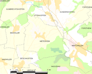
Mietesheim
- commune in Bas-Rhin, France
- Country:
- Postal Code: 67580
- Coordinates: 48° 52' 41" N, 7° 38' 29" E
- GPS tracks (wikiloc): [Link]
- Area: 8.49 sq km
- Population: 669

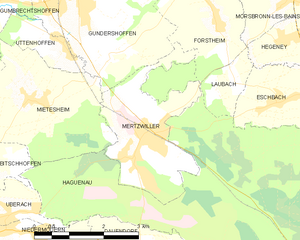
Mertzwiller
- commune in Bas-Rhin, France
- Country:
- Postal Code: 67580
- Coordinates: 48° 51' 47" N, 7° 40' 47" E
- GPS tracks (wikiloc): [Link]
- Area: 6.96 sq km
- Population: 3371
- Web site: [Link]
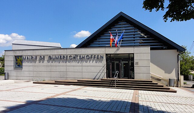
Gumbrechtshoffen
- commune in Bas-Rhin, France
- Country:
- Postal Code: 67110
- Coordinates: 48° 54' 18" N, 7° 37' 49" E
- GPS tracks (wikiloc): [Link]
- Area: 5.74 sq km
- Population: 1160
- Web site: [Link]


Uttenhoffen
- commune in Bas-Rhin, France
- Country:
- Postal Code: 67110
- Coordinates: 48° 53' 33" N, 7° 39' 18" E
- GPS tracks (wikiloc): [Link]
- Area: 1.95 sq km
- Population: 195


Frœschwiller
- commune in Bas-Rhin, France
- Country:
- Postal Code: 67360
- Coordinates: 48° 56' 37" N, 7° 43' 19" E
- GPS tracks (wikiloc): [Link]
- Area: 5.75 sq km
- Population: 510