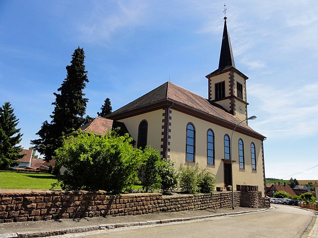
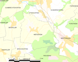
Uttenhoffen (Uttenhoffen)
- commune in Bas-Rhin, France
- Country:

- Postal Code: 67110
- Coordinates: 48° 53' 33" N, 7° 39' 18" E


- GPS tracks (wikiloc): [Link]
- Area: 1.95 sq km
- Population: 195
- Wikipedia en: wiki(en)
- Wikipedia: wiki(fr)
- Wikidata storage: Wikidata: Q21599
- Wikipedia Commons Category: [Link]
- Freebase ID: [/m/03m9cl5]
- Freebase ID: [/m/03m9cl5]
- GeoNames ID: Alt: [6441391]
- GeoNames ID: Alt: [6441391]
- SIREN number: [216705020]
- SIREN number: [216705020]
- BnF ID: [152716445]
- BnF ID: [152716445]
- VIAF ID: Alt: [248792944]
- VIAF ID: Alt: [248792944]
- INSEE municipality code: 67502
- INSEE municipality code: 67502
Shares border with regions:


Engwiller
- commune in Bas-Rhin, France
- Country:

- Postal Code: 67350
- Coordinates: 48° 53' 6" N, 7° 36' 55" E


- GPS tracks (wikiloc): [Link]
- Area: 3.74 sq km
- Population: 496
- Web site: [Link]


Mietesheim
- commune in Bas-Rhin, France
- Country:

- Postal Code: 67580
- Coordinates: 48° 52' 41" N, 7° 38' 29" E


- GPS tracks (wikiloc): [Link]
- Area: 8.49 sq km
- Population: 669


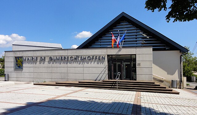
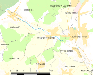
Gumbrechtshoffen
- commune in Bas-Rhin, France
- Country:

- Postal Code: 67110
- Coordinates: 48° 54' 18" N, 7° 37' 49" E


- GPS tracks (wikiloc): [Link]
- Area: 5.74 sq km
- Population: 1160
- Web site: [Link]


Gundershoffen
- commune in Bas-Rhin, France
- Country:

- Postal Code: 67110
- Coordinates: 48° 54' 20" N, 7° 39' 47" E


- GPS tracks (wikiloc): [Link]
- Area: 17.55 sq km
- Population: 3633
- Web site: [Link]
