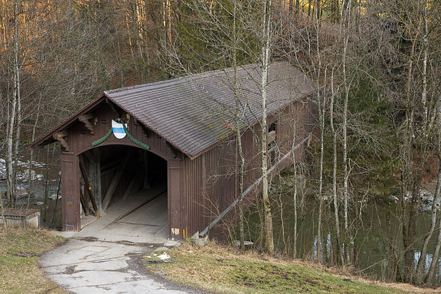
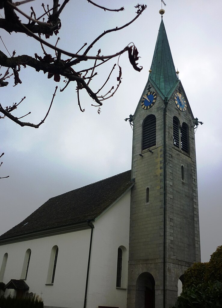
Hirzel (Hirzel)

- Village in Switzerland
 Hiking in Hirzel
Hirzel is a picturesque village located in the Zurich region of Switzerland, nestled amidst beautiful landscapes that are perfect for hiking enthusiasts. The area is characterized by rolling hills, lush forests, and stunning views of the surrounding Alps and Lake Zurich, making it an ideal destination for both casual walkers and experienced hikers.
Hiking Trails
-
Hirzel to Zürichberg: This trail offers a moderate hike with varied terrain. You'll walk through forests, meadows, and agricultural land, with the reward of spectacular views over Zurich and the lake.
-
Zürich to Hirzel: This popular route involves a longer trek that connects Zurich to Hirzel, giving hikers a taste of the natural beauty and tranquility of the countryside.
-
Hirzel Loop Trail: A shorter loop trail suitable for families, this hike allows you to enjoy the picturesque surroundings with opportunities to spot local wildlife and flora.
Tips for Hiking in Hirzel
- Best Time to Hike: Spring and early autumn are ideal for hiking in Hirzel, as the weather is generally mild, and the trails are less crowded compared to summer.
- Gear: Sturdy hiking boots are recommended due to some uneven terrain. Additionally, don’t forget to bring water and snacks.
- Navigation: While the trails are usually well-marked, it’s wise to carry a map or use a hiking app to stay on track.
- Local Amenities: Check for local facilities such as restrooms and picnic areas. Hirzel also has some charming inns and restaurants perfect for a post-hike meal.
Safety
Always inform someone about your hiking plan and anticipated return time. Be aware of weather conditions, as they can change rapidly in mountainous regions. Carry a basic first aid kit and know your limits.
Hiking in Hirzel can be a delightful experience where you can immerse yourself in nature, enjoy breathtaking views, and discover the serenity of the Swiss countryside.
- Country:

- Postal Code: 8816
- Local Dialing Code: 01
- Licence Plate Code: ZH
- Coordinates: 47° 13' 1" N, 8° 36' 37" E


- GPS tracks (wikiloc): [Link]
- AboveSeaLevel: 678 м m
- Area: 9.68 sq km
- Population: 2158
- Web site: http://www.hirzel.ch
- Wikipedia en: wiki(en)
- Wikipedia: wiki(de)
- Wikidata storage: Wikidata: Q66338
- Wikipedia Commons Category: [Link]
Shares border with regions:


Hausen am Albis
- municipality in Switzerland
Hiking in Hausen am Albis
Hausen am Albis is a picturesque village located in the Canton of Zurich, Switzerland. It is surrounded by beautiful landscapes, making it an ideal destination for hiking enthusiasts. Here’s a guide to hiking in this charming area:...
- Country:
- Postal Code: 8915
- Local Dialing Code: 044; 043
- Licence Plate Code: ZH
- Coordinates: 47° 14' 41" N, 8° 32' 4" E
- GPS tracks (wikiloc): [Link]
- AboveSeaLevel: 611 м m
- Area: 13.64 sq km
- Population: 3646
- Web site: [Link]
Neuheim
- municipality in Switzerland
Hiking in Neuheim
Neuheim, located in the Canton of Zug in Switzerland, offers a variety of beautiful hiking opportunities that showcase the stunning landscapes of the region. The area is characterized by rolling hills, lush forests, and panoramic views of the surrounding mountains and Lake Zug. Here’s a brief overview of what you can expect when hiking in Neuheim:...
- Country:
- Postal Code: 6345
- Local Dialing Code: 041
- Licence Plate Code: ZG
- Coordinates: 47° 12' 24" N, 8° 34' 40" E
- GPS tracks (wikiloc): [Link]
- AboveSeaLevel: 666 м m
- Area: 7.9 sq km
- Population: 2245
- Web site: [Link]

Menzingen
- municipality in Switzerland
Hiking in Menzingen
Menzingen is a charming municipality located in the Canton of Zug, Switzerland. It is surrounded by beautiful nature and rolling hills, making it an ideal location for hiking enthusiasts. Here are some highlights and tips for hiking in Menzingen:...
- Country:
- Postal Code: 6313
- Local Dialing Code: 041
- Licence Plate Code: ZG
- Coordinates: 47° 10' 12" N, 8° 36' 11" E
- GPS tracks (wikiloc): [Link]
- AboveSeaLevel: 801 м m
- Area: 27.50 sq km
- Population: 4499
- Web site: [Link]

Schönenberg
- municipality in Switzerland
Hiking in Schönenberg
Schönenberg, located near Zürich, Switzerland, offers a variety of hiking opportunities surrounded by beautiful landscapes and panoramic views of the Zürcher Oberland and Lake Zürich. Here are some highlights to consider when planning a hike in this area:...
- Country:
- Postal Code: 8824
- Local Dialing Code: 044
- Licence Plate Code: ZH
- Coordinates: 47° 11' 38" N, 8° 38' 41" E
- GPS tracks (wikiloc): [Link]
- AboveSeaLevel: 714 м m
- Area: 11.0 sq km
- Population: 1844
- Web site: [Link]


Horgen
- municipality in the canton of Zürich, Switzerland
Hiking in Horgen
Horgen, located on the southern shore of Lake Zurich in Switzerland, offers a variety of hiking opportunities suited for different skill levels and interests. Here are some highlights:...
- Country:
- Postal Code: 8810
- Local Dialing Code: 044; 043
- Licence Plate Code: ZH
- Coordinates: 47° 15' 39" N, 8° 35' 51" E
- GPS tracks (wikiloc): [Link]
- AboveSeaLevel: 415 м m
- Area: 30.75 sq km
- Population: 22476
- Web site: [Link]


Wädenswil
- municipality in the canton of Zürich, Switzerland
Hiking in Wädenswil
Wädenswil, located on the shores of Lake Zurich in Switzerland, offers beautiful hiking trails that suit various skill levels and provide stunning views of both the lake and the surrounding mountains. Here are some highlights and popular trails in and around Wädenswil:...
- Country:
- Postal Code: 8833
- Local Dialing Code: 044; 043
- Licence Plate Code: ZH
- Coordinates: 47° 13' 30" N, 8° 39' 7" E
- GPS tracks (wikiloc): [Link]
- AboveSeaLevel: 597 м m
- Area: 17.37 sq km
- Population: 21716
- Web site: [Link]