Langeais (Langeais)

- former commune in Indre-et-Loire, France
- Country:

- Postal Code: 37130
- Coordinates: 47° 19' 32" N, 0° 24' 22" E


- GPS tracks (wikiloc): [Link]
- Area: 60.38 sq km
- Population: 4248
- Web site: http://www.langeais.fr/
- Wikidata storage: Wikidata: Q383360
- Wikipedia Commons Gallery: [Link]
- Wikipedia Commons Category: [Link]
- Freebase ID: [/m/088xh6]
- GeoNames ID: Alt: [3007729]
- BnF ID: [152576744]
- VIAF ID: Alt: [134999094]
- GND ID: Alt: [4269531-4]
- Library of Congress authority ID: Alt: [n90637107]
- Encyclopædia Britannica Online ID: [place/Langeais]
- Great Russian Encyclopedia Online ID: [2132199]
- INSEE municipality code: 37123
Shares border with regions:

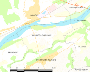
La Chapelle-aux-Naux
- commune in Indre-et-Loire, France
- Country:
- Postal Code: 37130
- Coordinates: 47° 19' 6" N, 0° 25' 39" E
- GPS tracks (wikiloc): [Link]
- Area: 5.25 sq km
- Population: 586
- Web site: [Link]

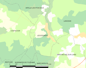
Les Essards
- former commune in Indre-et-Loire, France
- Country:
- Postal Code: 37130
- Coordinates: 47° 20' 43" N, 0° 18' 7" E
- GPS tracks (wikiloc): [Link]
- Area: 4.17 sq km
- Population: 160


Bréhémont
- commune in Indre-et-Loire, France
- Country:
- Postal Code: 37130
- Coordinates: 47° 17' 42" N, 0° 21' 20" E
- GPS tracks (wikiloc): [Link]
- Area: 12.71 sq km
- Population: 776


Avrillé-les-Ponceaux
- commune in Indre-et-Loire, France
- Country:
- Postal Code: 37340
- Coordinates: 47° 23' 40" N, 0° 17' 11" E
- GPS tracks (wikiloc): [Link]
- Area: 32.8 sq km
- Population: 488

Cinq-Mars-la-Pile
- commune in Indre-et-Loire, France
- Country:
- Postal Code: 37130
- Coordinates: 47° 20' 51" N, 0° 27' 42" E
- GPS tracks (wikiloc): [Link]
- Area: 20.11 sq km
- Population: 3461
- Web site: [Link]


Saint-Michel-sur-Loire
- former commune in Indre-et-Loire, France
- Country:
- Postal Code: 37130
- Coordinates: 47° 18' 27" N, 0° 20' 57" E
- GPS tracks (wikiloc): [Link]
- Area: 17.51 sq km
- Population: 688


Mazières-de-Touraine
- commune in Indre-et-Loire, France
- Country:
- Postal Code: 37130
- Coordinates: 47° 22' 59" N, 0° 25' 33" E
- GPS tracks (wikiloc): [Link]
- Area: 34.18 sq km
- Population: 1291
- Web site: [Link]