Langon-sur-Cher (Langon-sur-Cher)

- commune in Loir-et-Cher, France
- Country:

- Postal Code: 41320
- Coordinates: 47° 17' 4" N, 1° 49' 37" E


- GPS tracks (wikiloc): [Link]
- Area: 38.82 sq km
- Population: 813
- Wikipedia en: wiki(en)
- Wikipedia: wiki(fr)
- Wikidata storage: Wikidata: Q1142710
- Wikipedia Commons Category: [Link]
- Freebase ID: [/m/03nw09y]
- GeoNames ID: Alt: [6434030]
- SIREN number: [214101107]
- BnF ID: [15259386s]
- VIAF ID: Alt: [241555722]
- INSEE municipality code: 41110
Shares border with regions:


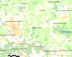
Selles-Saint-Denis
- commune in Loir-et-Cher, France
- Country:
- Postal Code: 41300
- Coordinates: 47° 23' 9" N, 1° 55' 21" E
- GPS tracks (wikiloc): [Link]
- Area: 50.98 sq km
- Population: 1316
- Web site: [Link]


Mennetou-sur-Cher
- commune in Loir-et-Cher, France
- Country:
- Postal Code: 41320
- Coordinates: 47° 16' 10" N, 1° 51' 57" E
- GPS tracks (wikiloc): [Link]
- Area: 16.26 sq km
- Population: 902

Villeherviers
- commune in Loir-et-Cher, France
- Country:
- Postal Code: 41200
- Coordinates: 47° 21' 58" N, 1° 47' 53" E
- GPS tracks (wikiloc): [Link]
- Area: 38.9 sq km
- Population: 477

Châtres-sur-Cher
- commune in Loir-et-Cher, France
- Country:
- Postal Code: 41320
- Coordinates: 47° 15' 54" N, 1° 54' 22" E
- GPS tracks (wikiloc): [Link]
- Area: 35.33 sq km
- Population: 1104


Saint-Loup
- commune in Loir-et-Cher, France
- Country:
- Postal Code: 41320
- Coordinates: 47° 15' 55" N, 1° 50' 22" E
- GPS tracks (wikiloc): [Link]
- AboveSeaLevel: 120 м m
- Area: 14.7 sq km
- Population: 372
Saint-Julien-sur-Cher
- commune in Loir-et-Cher, France
- Country:
- Postal Code: 41320
- Coordinates: 47° 16' 55" N, 1° 46' 26" E
- GPS tracks (wikiloc): [Link]
- Area: 15.99 sq km
- Population: 772

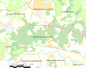
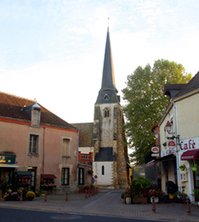
Villefranche-sur-Cher
- commune in Loir-et-Cher, France
- Country:
- Postal Code: 41200
- Coordinates: 47° 18' 0" N, 1° 46' 0" E
- GPS tracks (wikiloc): [Link]
- AboveSeaLevel: 98 м m
- Area: 27.23 sq km
- Population: 2731