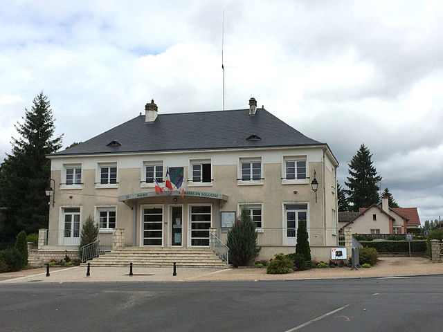
Villefranche-sur-Cher (Villefranche-sur-Cher)

- commune in Loir-et-Cher, France
- Country:

- Postal Code: 41200
- Coordinates: 47° 18' 0" N, 1° 46' 0" E


- GPS tracks (wikiloc): [Link]
- AboveSeaLevel: 98 м m
- Area: 27.23 sq km
- Population: 2731
- Wikipedia en: wiki(en)
- Wikipedia: wiki(fr)
- Wikidata storage: Wikidata: Q732703
- Wikipedia Commons Category: [Link]
- Freebase ID: [/m/03nw306]
- GeoNames ID: Alt: [2968765]
- SIREN number: [214102808]
- BnF ID: [15259554q]
- PACTOLS thesaurus ID: [pcrtZJwAd9TRtB]
- WOEID: [631677]
- TGN ID: [1036141]
- INSEE municipality code: 41280
Shares border with regions:


Langon-sur-Cher
- commune in Loir-et-Cher, France
- Country:
- Postal Code: 41320
- Coordinates: 47° 17' 4" N, 1° 49' 37" E
- GPS tracks (wikiloc): [Link]
- Area: 38.82 sq km
- Population: 813

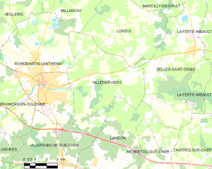
Villeherviers
- commune in Loir-et-Cher, France
- Country:
- Postal Code: 41200
- Coordinates: 47° 21' 58" N, 1° 47' 53" E
- GPS tracks (wikiloc): [Link]
- Area: 38.9 sq km
- Population: 477


Gièvres
- commune in Loir-et-Cher, France
- Country:
- Postal Code: 41130
- Coordinates: 47° 16' 35" N, 1° 40' 8" E
- GPS tracks (wikiloc): [Link]
- Area: 38.05 sq km
- Population: 2556
- Web site: [Link]
La Chapelle-Montmartin
- commune in Loir-et-Cher, France
- Country:
- Postal Code: 41320
- Coordinates: 47° 16' 13" N, 1° 44' 23" E
- GPS tracks (wikiloc): [Link]
- AboveSeaLevel: 124 м m
- Area: 10.72 sq km
- Population: 436


Romorantin-Lanthenay
- commune in Loir-et-Cher, France
- Country:
- Postal Code: 41200
- Coordinates: 47° 21' 30" N, 1° 44' 34" E
- GPS tracks (wikiloc): [Link]
- Area: 45.31 sq km
- Population: 17748
- Web site: [Link]
Saint-Julien-sur-Cher
- commune in Loir-et-Cher, France
- Country:
- Postal Code: 41320
- Coordinates: 47° 16' 55" N, 1° 46' 26" E
- GPS tracks (wikiloc): [Link]
- Area: 15.99 sq km
- Population: 772

Pruniers-en-Sologne
- commune in Loir-et-Cher, France
- Country:
- Postal Code: 41200
- Coordinates: 47° 19' 22" N, 1° 40' 16" E
- GPS tracks (wikiloc): [Link]
- Area: 43.84 sq km
- Population: 2424