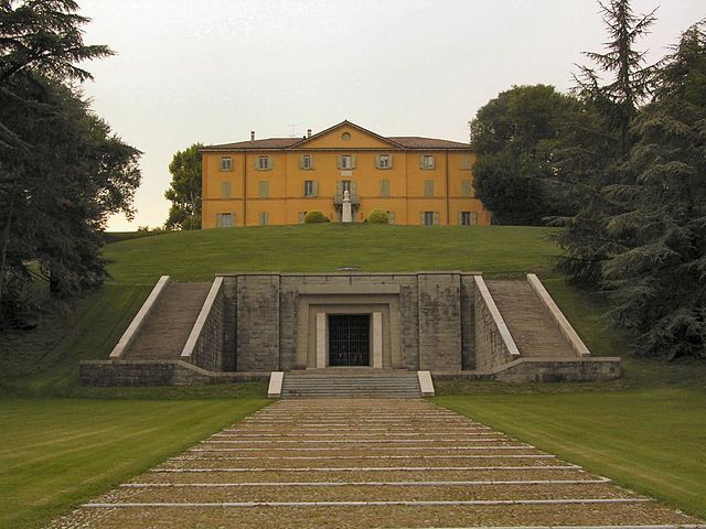
Monte San Pietro (Monte San Pietro)
.svg)
- Italian comune
 Hiking in Monte San Pietro
Monte San Pietro, located in the Emilia-Romagna region of Italy, offers a variety of hiking opportunities for outdoor enthusiasts. The area is characterized by its beautiful landscapes, rolling hills, and picturesque views, making it an ideal spot for both casual walkers and experienced hikers.
Hiking Trails
-
Variety of Trails: There are several trails that vary in difficulty. Some are suitable for beginners, while others can challenge more experienced hikers. The routes often take you through woodlands, fields, and offer scenic viewpoints.
-
Nature and Flora: As you hike, you'll encounter diverse flora and fauna, including native trees and wildlife, which can enhance your experience. Spring and summer are particularly beautiful, with wildflowers in bloom.
-
Panoramic Views: Many of the trails lead to viewpoints where you can enjoy breathtaking panoramas of the surrounding countryside, including views of nearby towns and mountains.
Important Considerations
-
Preparation: Make sure to wear appropriate hiking boots and bring water, snacks, and a map or GPS device. It’s also wise to check the weather forecast before heading out.
-
Local Regulations: Respect local guidelines regarding wildlife and conservation. Stick to marked trails to minimize your impact on the environment.
-
Seasonal Factors: Some trails may be less accessible during the winter months due to snow or wet conditions. Always check trail conditions before your hike.
Additional Activities
Aside from hiking, the Monte San Pietro area may offer opportunities for cycling, horse riding, and exploring local villages and cultural sites, including historic buildings and local cuisine.
Whether you’re looking for a leisurely walk or a more strenuous hike, Monte San Pietro provides a beautiful natural refuge and a chance to connect with Italy’s stunning landscape. Enjoy your hike!
- Country:

- Postal Code: 40050
- Local Dialing Code: 051
- Licence Plate Code: BO
- Coordinates: 44° 26' 19" N, 11° 8' 3" E


- GPS tracks (wikiloc): [Link]
- AboveSeaLevel: 112 м m
- Area: 74.69 sq km
- Population: 10960
- Web site: http://www.comune.montesanpietro.bo.it/
- Wikipedia en: wiki(en)
- Wikipedia: wiki(it)
- Wikidata storage: Wikidata: Q94964
- Wikipedia Commons Category: [Link]
- Freebase ID: [/m/0gkhq9]
- GeoNames ID: Alt: [6536353]
- VIAF ID: Alt: [140187603]
- OSM relation ID: [43102]
- GND ID: Alt: [4214800-5]
- MusicBrainz area ID: [326d230b-68f0-49d2-abda-250787e2af1a]
- Quora topic ID: [Monte-San-Pietro]
- UN/LOCODE: [ITMSP]
- ISTAT ID: 037042
- Italian cadastre code: F627
Shares border with regions:
Castello di Serravalle
- Italian comune
Hiking in Castello di Serravalle
Castello di Serravalle is a quaint village in the Emilia-Romagna region of Italy, situated on a hilltop that offers stunning views of the surrounding countryside. The area is known for its beautiful landscapes, rich history, and a network of hiking trails that are perfect for outdoor enthusiasts....
- Country:
- Postal Code: 40050
- Local Dialing Code: 051
- Licence Plate Code: BO
- Coordinates: 44° 26' 16" N, 11° 1' 50" E
- GPS tracks (wikiloc): [Link]
- AboveSeaLevel: 182 м m
- Area: 39.24 sq km
- Web site: [Link]
Crespellano
- Italian comune
Hiking in Crespellano
Crespellano is a charming village located in the Emilia-Romagna region of Italy, not far from Bologna. It offers several opportunities for hiking enthusiasts who want to explore the natural beauty and scenic landscapes of the surrounding area....
- Country:
- Postal Code: 40056
- Local Dialing Code: 051
- Licence Plate Code: BO
- Coordinates: 44° 30' 41" N, 11° 7' 53" E
- GPS tracks (wikiloc): [Link]
- AboveSeaLevel: 64 м m
- Area: 37.5 sq km
- Web site: [Link]


Marzabotto
- Italian comune
Hiking in Marzabotto
Marzabotto, located in the Emilia-Romagna region of Italy, is not only known for its historical significance but also offers a variety of hiking opportunities that showcase the region's natural beauty and rich culture....
- Country:
- Postal Code: 40043
- Local Dialing Code: 051
- Licence Plate Code: BO
- Coordinates: 44° 20' 0" N, 11° 12' 0" E
- GPS tracks (wikiloc): [Link]
- AboveSeaLevel: 130 м m
- Area: 74.53 sq km
- Population: 6853
- Web site: [Link]


Monteveglio
- Italian comune
Hiking in Monteveglio
Monteveglio, located in the Emilia-Romagna region of northern Italy, is known for its beautiful landscapes, vineyards, and rich history. The area is part of the Contra del Parco Regionale dell'Abbazia di Monteveglio, which features numerous hiking trails that offer stunning views and opportunities to explore the local flora and fauna....
- Country:
- Postal Code: 40050
- Local Dialing Code: 051
- Licence Plate Code: BO
- Coordinates: 44° 28' 7" N, 11° 5' 28" E
- GPS tracks (wikiloc): [Link]
- AboveSeaLevel: 114 м m
- Area: 32.57 sq km
- Web site: [Link]

Sasso Marconi
- Italian comune
Hiking in Sasso Marconi
Sasso Marconi, located in the Emilia-Romagna region of Italy, is a great area for hiking enthusiasts. Nestled in the Apennine Mountains, it offers a range of trails suited for different skill levels, with beautiful landscapes that include hills, forests, and panoramic views of the surrounding countryside....
- Country:
- Postal Code: 40037
- Local Dialing Code: 051
- Licence Plate Code: BO
- Coordinates: 44° 24' 0" N, 11° 15' 0" E
- GPS tracks (wikiloc): [Link]
- AboveSeaLevel: 128 м m
- Area: 96.45 sq km
- Population: 14903
- Web site: [Link]
Savigno
- Italian comune
Hiking in Savigno
Savigno, a charming village in the province of Bologna, Italy, is known for its beautiful landscapes and picturesque countryside, making it an excellent destination for hiking enthusiasts. The area is characterized by rolling hills, lush vineyards, and ancient woods, offering a variety of trails suitable for different skill levels....
- Country:
- Postal Code: 40060
- Local Dialing Code: 051
- Licence Plate Code: BO
- Coordinates: 44° 24' 0" N, 11° 5' 0" E
- GPS tracks (wikiloc): [Link]
- AboveSeaLevel: 259 м m
- Area: 54.84 sq km
- Web site: [Link]


Zola Predosa
- Italian comune
Hiking in Zola Predosa
Zola Predosa, located in the metropolitan area of Bologna in Italy, offers a variety of hiking opportunities amidst its picturesque landscapes. The area is characterized by rolling hills, vineyards, and olive groves, making it an appealing destination for outdoor enthusiasts. Here are some key points about hiking in Zola Predosa:...
- Country:
- Postal Code: 40069
- Local Dialing Code: 051
- Licence Plate Code: BO
- Coordinates: 44° 29' 18" N, 11° 13' 5" E
- GPS tracks (wikiloc): [Link]
- AboveSeaLevel: 74 м m
- Area: 37 sq km
- Population: 15105
- Web site: [Link]