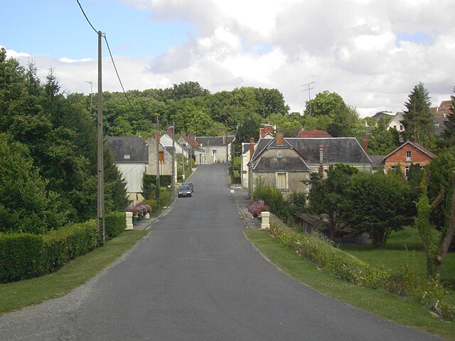
Nouans-les-Fontaines (Nouans-les-Fontaines)

- commune in Indre-et-Loire, France
- Country:

- Postal Code: 37460
- Coordinates: 47° 8' 10" N, 1° 17' 54" E


- GPS tracks (wikiloc): [Link]
- Area: 63.31 sq km
- Population: 770
- Wikipedia en: wiki(en)
- Wikipedia: wiki(fr)
- Wikidata storage: Wikidata: Q375100
- Wikipedia Commons Category: [Link]
- Freebase ID: [/m/03nvcj9]
- GeoNames ID: Alt: [6433072]
- SIREN number: [213701733]
- BnF ID: [15257724v]
- Pleiades ID: [138490]
- INSEE municipality code: 37173
Shares border with regions:


Luçay-le-Mâle
- commune in Indre, France
- Country:
- Postal Code: 36360
- Coordinates: 47° 7' 48" N, 1° 26' 29" E
- GPS tracks (wikiloc): [Link]
- Area: 68.08 sq km
- Population: 1385
- Web site: [Link]
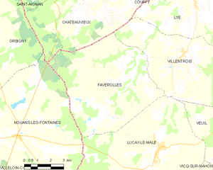
Faverolles-en-Berry
- commune in Indre, France
- Country:
- Postal Code: 36360
- Coordinates: 47° 10' 19" N, 1° 24' 30" E
- GPS tracks (wikiloc): [Link]
- Area: 41.41 sq km
- Population: 327
- Web site: [Link]


Châteauvieux
- commune in Loir-et-Cher, France
- Country:
- Postal Code: 41110
- Coordinates: 47° 13' 47" N, 1° 22' 59" E
- GPS tracks (wikiloc): [Link]
- Area: 33.48 sq km
- Population: 546


Villeloin-Coulangé
- commune in Indre-et-Loire, France
- Country:
- Postal Code: 37460
- Coordinates: 47° 8' 26" N, 1° 13' 23" E
- GPS tracks (wikiloc): [Link]
- Area: 34.62 sq km
- Population: 631


Orbigny
- commune in Indre-et-Loire, France
- Country:
- Postal Code: 37460
- Coordinates: 47° 12' 37" N, 1° 14' 0" E
- GPS tracks (wikiloc): [Link]
- Area: 65.88 sq km
- Population: 764
- Web site: [Link]

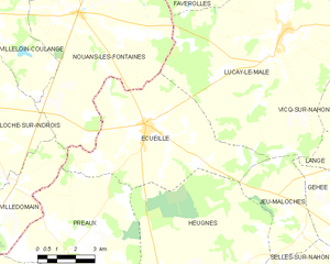
Écueillé
- commune in Indre, France
- Country:
- Postal Code: 36240
- Coordinates: 47° 5' 3" N, 1° 20' 47" E
- GPS tracks (wikiloc): [Link]
- Area: 34.9 sq km
- Population: 1286
- Web site: [Link]


Loché-sur-Indrois
- commune in Indre-et-Loire, France
- Country:
- Postal Code: 37460
- Coordinates: 47° 5' 32" N, 1° 13' 9" E
- GPS tracks (wikiloc): [Link]
- Area: 74.13 sq km
- Population: 561

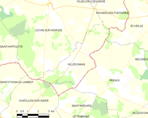
Villedômain
- commune in Indre-et-Loire, France
- Country:
- Postal Code: 37110
- Coordinates: 47° 3' 10" N, 1° 15' 21" E
- GPS tracks (wikiloc): [Link]
- Area: 16.47 sq km
- Population: 118
- Web site: [Link]