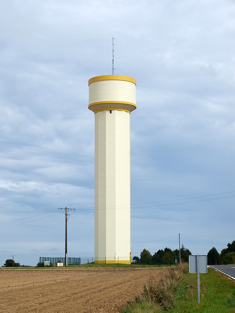
Rahart (Rahart)

- commune in Loir-et-Cher, France
- Country:

- Postal Code: 41160
- Coordinates: 47° 52' 12" N, 1° 4' 3" E


- GPS tracks (wikiloc): [Link]
- Area: 14.23 sq km
- Population: 313
- Wikipedia en: wiki(en)
- Wikipedia: wiki(fr)
- Wikidata storage: Wikidata: Q1383070
- Wikipedia Commons Category: [Link]
- Freebase ID: [/m/03nw201]
- GeoNames ID: Alt: [2984561]
- SIREN number: [214101867]
- BnF ID: [15259460c]
- INSEE municipality code: 41186
Shares border with regions:


Azé
- commune in Loir-et-Cher, France
- Country:
- Postal Code: 41100
- Coordinates: 47° 51' 4" N, 0° 59' 55" E
- GPS tracks (wikiloc): [Link]
- AboveSeaLevel: 81 м m
- Area: 31.93 sq km
- Population: 1090
Saint-Ouen
- commune in Loir-et-Cher, France
- Country:
- Postal Code: 41100
- Coordinates: 47° 48' 39" N, 1° 5' 3" E
- GPS tracks (wikiloc): [Link]
- Area: 11.3 sq km
- Population: 3286
Saint-Firmin-des-Prés
- commune in Loir-et-Cher, France
- Country:
- Postal Code: 41100
- Coordinates: 47° 50' 32" N, 1° 6' 49" E
- GPS tracks (wikiloc): [Link]
- Area: 13.89 sq km
- Population: 843

Danzé
- commune in Loir-et-Cher, France
- Country:
- Postal Code: 41160
- Coordinates: 47° 53' 35" N, 1° 1' 40" E
- GPS tracks (wikiloc): [Link]
- Area: 42.26 sq km
- Population: 705
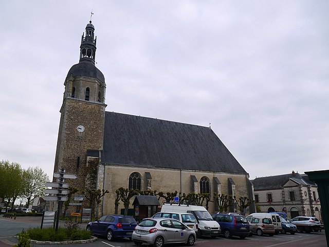
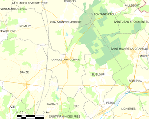
La Ville-aux-Clercs
- commune in Loir-et-Cher, France
- Country:
- Postal Code: 41160
- Coordinates: 47° 55' 6" N, 1° 5' 6" E
- GPS tracks (wikiloc): [Link]
- Area: 26.61 sq km
- Population: 1299
Lisle
- commune in Loir-et-Cher, France
- Country:
- Postal Code: 41100
- Coordinates: 47° 51' 11" N, 1° 6' 58" E
- GPS tracks (wikiloc): [Link]
- Area: 6.61 sq km
- Population: 197