Ratschings (Racines)
.svg)
- town and commune in Italy
 Hiking in Ratschings
Ratschings, located in the South Tyrol region of northern Italy, is a fantastic destination for hiking enthusiasts. The area is known for its stunning alpine scenery, diverse trails, and a variety of outdoor activities. Here are some highlights of hiking in Ratschings:
Scenic Trails
- Ratschings Valley Trail: This is a relatively easy hike that takes you through lush forests and meadows. It’s perfect for families and beginners.
- Kühtai Trail: A moderate trail that offers breathtaking views of the surrounding mountains and valleys. The trail is well-marked and provides plenty of opportunities for photography.
- Jaufen Pass: An iconic hike offering panoramic views of the Ötztal Alps. The elevation gain can be challenging, but the vistas are worth the effort.
Wildlife and Flora
- Ratschings is home to a rich variety of alpine flora and fauna. Keep an eye out for local wildlife such as ibex and chamois, and enjoy the colorful meadows filled with wildflowers.
Seasonal Opportunities
- Summer: Hiking season is in full swing, with many trails open and accessible. Some lifts operate during this time, providing access to higher altitudes.
- Autumn: Enjoy the changing colors of the leaves and fewer crowds on the trails.
- Winter: While primarily a skiing destination, certain trails may be available for snowshoeing or winter hiking.
Tips for Hiking in Ratschings
- Trail Difficulty: Always check trail difficulty and prepare accordingly. Many trails are well-marked, but some can be strenuous.
- Weather: Mountain weather can change rapidly. Always check the forecast before heading out and prepare for varying conditions.
- Equipment: Wear sturdy hiking boots and bring plenty of water, snacks, and a map or a GPS device.
- Local Advice: Consider visiting the local tourist information center for updated trail conditions and recommendations.
Conclusion
Ratschings offers a diverse range of hiking experiences suitable for all levels, with the added benefit of stunning alpine scenery and rich wildlife. Be sure to take advantage of the local resources and enjoy the beautiful outdoors that this region has to offer!
- Country:

- Postal Code: 39040
- Local Dialing Code: 0472
- Licence Plate Code: BZ
- Coordinates: 46° 52' 0" N, 11° 18' 0" E


- GPS tracks (wikiloc): [Link]
- AboveSeaLevel: 976 м m
- Area: 203.29 sq km
- Population: 4471
- Web site: http://www.racines.eu
- Wikipedia en: wiki(en)
- Wikipedia: wiki(it)
- Wikidata storage: Wikidata: Q474345
- Wikipedia Commons Gallery: [Link]
- Wikipedia Commons Category: [Link]
- Freebase ID: [/m/0g9j30]
- GeoNames ID: Alt: [6536014]
- VIAF ID: Alt: [144360542]
- OSM relation ID: [47329]
- GND ID: Alt: [4126482-4]
- Library of Congress authority ID: Alt: [n88249007]
- ISTAT ID: 021070
- Italian cadastre code: H152
Shares border with regions:


Sarntal
- Italian comune
Hiking in Sarntal
Sarntal, also known as the Sarntal Valley, is a beautiful hiking destination located in South Tyrol, Italy, just north of Bolzano. This area is known for its stunning landscapes, diverse flora and fauna, and rich cultural heritage. Here are some key points to consider when planning a hiking trip in Sarntal:...
- Country:
- Postal Code: 39058
- Local Dialing Code: 0471
- Licence Plate Code: BZ
- Coordinates: 46° 38' 37" N, 11° 21' 22" E
- GPS tracks (wikiloc): [Link]
- AboveSeaLevel: 2781 м m
- Area: 302.27 sq km
- Population: 7058
- Web site: [Link]
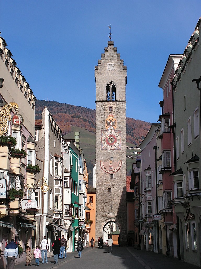

Sterzing
- Italian comune
Hiking in Sterzing
Sterzing, or Vipiteno, is a charming town located in the South Tyrol region of Italy, surrounded by the stunning Dolomite mountains. It’s an excellent base for hiking enthusiasts due to its breathtaking scenery and diverse trail options. Here’s a rundown of what you can expect when hiking in Sterzing:...
- Country:
- Postal Code: 39049
- Local Dialing Code: 0472
- Licence Plate Code: BZ
- Coordinates: 46° 53' 35" N, 11° 25' 47" E
- GPS tracks (wikiloc): [Link]
- AboveSeaLevel: 2714 м m
- Area: 32.97 sq km
- Population: 6956
- Web site: [Link]

Brenner
- Italian comune
Hiking in Brenner
Brenner, located in South Tyrol, Italy, is a beautiful area for hiking, characterized by its stunning alpine landscapes, diverse flora and fauna, and well-marked trails suitable for all levels of hikers. Here are some key highlights about hiking in Brenner:...
- Country:
- Postal Code: 39041
- Local Dialing Code: 0472
- Licence Plate Code: BZ
- Coordinates: 47° 0' 3" N, 11° 30' 14" E
- GPS tracks (wikiloc): [Link]
- AboveSeaLevel: 1374 м m
- Area: 114.29 sq km
- Population: 2184
- Web site: [Link]


Freienfeld
- Italian comune
Hiking in Freienfeld
Freienfeld, located in South Tyrol, Italy, is a beautiful area known for its stunning alpine scenery and excellent hiking opportunities. The region offers a mix of gentle walks and challenging trails, catering to hikers of all levels. Here are some highlights you can expect when hiking in Freienfeld:...
- Country:
- Postal Code: 39040
- Local Dialing Code: 0472
- Licence Plate Code: BZ
- Coordinates: 46° 52' 27" N, 11° 29' 10" E
- GPS tracks (wikiloc): [Link]
- AboveSeaLevel: 937 м m
- Area: 95.39 sq km
- Population: 2645
- Web site: [Link]


Moos in Passeier
- human settlement in Italy
Hiking in Moos in Passeier
Moos in Passeier is a picturesque village located in the Passeier Valley of South Tyrol, Italy. It's a great base for hiking enthusiasts who want to explore the stunning natural beauty of the region, which is characterized by majestic mountains, lush meadows, and charming alpine landscapes. Here are some highlights and tips for hiking in and around Moos in Passeier:...
- Country:
- Postal Code: 39013
- Local Dialing Code: 0473
- Licence Plate Code: BZ
- Coordinates: 46° 49' 54" N, 11° 10' 1" E
- GPS tracks (wikiloc): [Link]
- AboveSeaLevel: 1007 м m
- Area: 193.53 sq km
- Population: 2097
- Web site: [Link]

St. Leonhard in Passeier
- Italian comune
Hiking in St. Leonhard in Passeier
St. Leonhard in Passeier is a picturesque village located in the South Tyrol region of northern Italy, nestled within the Ötztal Alps. It's renowned for its stunning alpine scenery, rich cultural heritage, and a variety of outdoor activities, making it an excellent destination for hikers of all skill levels. Here are some highlights of hiking in this area:...
- Country:
- Postal Code: 39015
- Local Dialing Code: 0473
- Licence Plate Code: BZ
- Coordinates: 46° 48' 46" N, 11° 14' 45" E
- GPS tracks (wikiloc): [Link]
- AboveSeaLevel: 689 м m
- Area: 89.03 sq km
- Population: 3551
- Web site: [Link]

Neustift im Stubaital
- municipality in Austria
Hiking in Neustift im Stubaital
Neustift im Stubaital is a beautiful alpine village located in the Tyrol region of Austria, and it serves as an excellent base for hiking enthusiasts. Nestled in the Stubai Valley, this area is known for its stunning mountain scenery, rich flora and fauna, and a wide range of hiking trails suitable for various skill levels. Here’s an overview of what you can expect when hiking in Neustift im Stubaital:...
- Country:

- Postal Code: 6167
- Local Dialing Code: 05226
- Licence Plate Code: IL
- Coordinates: 47° 6' 37" N, 11° 18' 21" E
- GPS tracks (wikiloc): [Link]
- AboveSeaLevel: 994 м m
- Area: 248.99 sq km
- Population: 4747
- Web site: [Link]

Sölden
- municipality in Tyrol, Austria
Hiking in Sölden
Sölden, located in the Ötztal Valley of Tyrol, Austria, is a fantastic destination for hiking enthusiasts. It's known for its stunning alpine scenery, diverse trails, and a wide range of outdoor activities. Here’s what you can expect when hiking in Sölden:...
- Country:
- Postal Code: 6450
- Local Dialing Code: 05254
- Licence Plate Code: IM
- Coordinates: 46° 58' 0" N, 11° 0' 0" E
- GPS tracks (wikiloc): [Link]
- AboveSeaLevel: 1368 м m
- Area: 466.78 sq km
- Population: 3145
- Web site: [Link]