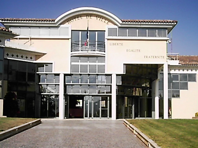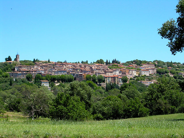
Roquebrune-sur-Argens (Roquebrune-sur-Argens)
- commune in Var, France
- Country:

- Postal Code: 83520
- Coordinates: 43° 26' 36" N, 6° 38' 16" E


- GPS tracks (wikiloc): [Link]
- Area: 106.1 sq km
- Population: 13195
- Web site: http://www.roquebrune.com/index.php
- Wikipedia en: wiki(en)
- Wikipedia: wiki(fr)
- Wikidata storage: Wikidata: Q474773
- Wikipedia Commons Category: [Link]
- Freebase ID: [/m/0gws4w]
- GeoNames ID: Alt: [2982875]
- SIREN number: [218301075]
- BnF ID: [152779344]
- VIAF ID: Alt: [167623622]
- OSM relation ID: [168415]
- GND ID: Alt: [4342064-3]
- Library of Congress authority ID: Alt: [n94012708]
- PACTOLS thesaurus ID: [pcrtGrcmr0hxiQ]
- MusicBrainz area ID: [77fa9a37-0cfa-43c1-8fca-9b71c311e166]
- WOEID: [12665082]
- SUDOC authorities ID: [071340661]
- Gran Enciclopèdia Catalana ID: [0266350]
- EMLO location ID: [ebf41240-d252-4b31-ab9e-37e6e4a3a760]
- YouTube channel ID: [UCxouiSSfnU1t1DA8boQD7Qw]
- INSEE municipality code: 83107
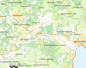
Shares border with regions:


Fréjus
- commune in Var, France
- Country:

- Postal Code: 83600
- Coordinates: 43° 25' 59" N, 6° 44' 8" E


- GPS tracks (wikiloc): [Link]
- Area: 102.27 sq km
- Population: 52897
- Web site: [Link]


La Motte
- commune in Var, France
La Motte, located in the Var department of the Provence-Alpes-Côte d’Azur region in southeastern France, is a charming destination for hiking enthusiasts. Nestled in the picturesque landscape of the Provence countryside, it offers varied trails that cater to different skill levels, all while showcasing the region's natural beauty....
- Country:

- Postal Code: 83920
- Coordinates: 43° 29' 38" N, 6° 32' 7" E


- GPS tracks (wikiloc): [Link]
- Area: 28.12 sq km
- Population: 2931


Puget-sur-Argens
- commune in Var, France
- Country:

- Postal Code: 83480
- Coordinates: 43° 27' 21" N, 6° 41' 3" E


- GPS tracks (wikiloc): [Link]
- Area: 26.9 sq km
- Population: 7528


Bagnols-en-Forêt
- commune in Var, France
Bagnols-en-Forêt is a charming village located in the Var department of the Provence-Alpes-Côte d'Azur region in France. The area around Bagnols-en-Forêt offers a range of hiking opportunities that cater to different skill levels and preferences. Here are some highlights about hiking in this picturesque location:...
- Country:

- Postal Code: 83600
- Coordinates: 43° 32' 16" N, 6° 41' 54" E


- GPS tracks (wikiloc): [Link]
- Area: 42.9 sq km
- Population: 2700
- Web site: [Link]


Sainte-Maxime
- commune in Var, France
- Country:

- Postal Code: 83120
- Coordinates: 43° 18' 32" N, 6° 38' 16" E


- GPS tracks (wikiloc): [Link]
- Area: 81.61 sq km
- Population: 14289
- Web site: [Link]


Le Muy
- commune in Var, France
Le Muy, located in the Var department of the Provence-Alpes-Côte d'Azur region in France, is a fantastic spot for hiking enthusiasts. The area is characterized by its stunning natural scenery, including hills, forests, rivers, and vineyards, making it an ideal place for outdoor activities....
- Country:

- Postal Code: 83490
- Coordinates: 43° 28' 21" N, 6° 33' 59" E


- GPS tracks (wikiloc): [Link]
- Area: 66.58 sq km
- Population: 9361

