Saint-Vérand (Saint-Vérand)
- commune in Isère, France
Saint-Vérand is a charming village located in the Isère department of the Auvergne-Rhône-Alpes region in southeastern France. It is nestled in the foothills of the Alps and offers a variety of hiking opportunities that showcase the stunning natural landscapes of the area.
Hiking Opportunities:
-
Scenic Trails:
- The region around Saint-Vérand features different hiking paths suitable for various skill levels. You can find easier trails for families or beginners, as well as more challenging routes for experienced hikers.
-
Local Flora and Fauna:
- When hiking in Saint-Vérand, you have the chance to observe diverse wildlife and plant species. The area is rich in biodiversity, with many marked trails leading through forests, meadows, and along rivers.
-
Views and Landscape:
- Some trails offer breathtaking panoramic views of the surrounding mountain ranges, valleys, and the Vercors Massif. Prepare your camera to capture the beautiful landscapes!
-
Nearby Trails:
- Saint-Vérand is close to established hiking routes. Trails leading to the nearby villages or to higher altitudes in the Alps provide opportunities for both leisurely hikes and more demanding treks.
-
Historical Sites:
- Consider exploring trails that lead to historical landmarks or viewpoints that showcase the rich heritage of the region. This can add an educational aspect to your hiking experience.
Tips for Hiking in Saint-Vérand:
- Preparation: Always check the weather beforehand, and be prepared for changing conditions. Bring proper hiking gear, food, and plenty of water.
- Trail Maps: Use local maps or hiking apps to guide you along the trails. Some may not be well-marked, so a map can be helpful.
- Stay Safe: Inform someone of your hiking plans and expected return time, especially if you are hiking in more remote areas.
- Respect Nature: Follow local regulations regarding wildlife and plant protection, and practice Leave No Trace principles to keep the area beautiful for future visitors.
Overall, hiking in Saint-Vérand offers a wonderful way to explore the natural beauty and cultural richness of the Isère region. Enjoy your adventure!
- Country:

- Postal Code: 38160
- Coordinates: 45° 10' 23" N, 5° 19' 54" E


- GPS tracks (wikiloc): [Link]
- AboveSeaLevel: 290 м m
- Area: 17.83 sq km
- Population: 1727
- Web site: http://www.saint-verand.fr
- Wikipedia en: wiki(en)
- Wikipedia: wiki(fr)
- Wikidata storage: Wikidata: Q651449
- Wikipedia Commons Category: [Link]
- Freebase ID: [/m/03g_5rz]
- GeoNames ID: Alt: [6616676]
- SIREN number: [213804636]
- BnF ID: [15258269p]
- INSEE municipality code: 38463
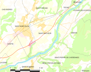
Shares border with regions:


Chevrières
- commune in Isère, France
Chevrières is a small village in the Isère department of the Auvergne-Rhône-Alpes region in southeastern France. While it may not be as well-known as some larger hiking destinations, it is surrounded by beautiful landscapes and offers opportunities for outdoor activities, including hiking....
- Country:

- Postal Code: 38160
- Coordinates: 45° 11' 15" N, 5° 17' 25" E


- GPS tracks (wikiloc): [Link]
- Area: 16.62 sq km
- Population: 710
- Web site: [Link]


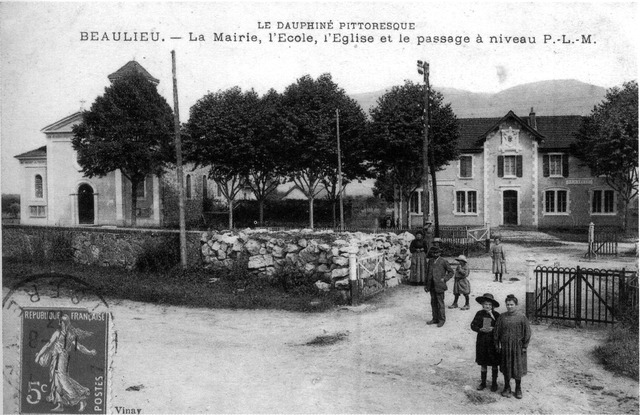
Beaulieu
- commune in Isère, France
Beaulieu in Isère is a charming destination for hiking enthusiasts, nestled in the foothills of the French Alps. The area is known for its beautiful landscapes, rolling hills, and proximity to the Chartreuse Mountains. Here are some highlights to consider if you're planning to hike in Beaulieu:...
- Country:

- Postal Code: 38470
- Coordinates: 45° 11' 33" N, 5° 23' 32" E


- GPS tracks (wikiloc): [Link]
- Area: 8.79 sq km
- Population: 623


Têche
- commune in Isère, France
Têche is a beautiful region that is often celebrated for its picturesque landscapes, diverse ecosystems, and extensive trail networks, making it an excellent destination for hiking enthusiasts. Although specific details may vary, here are general aspects to consider when hiking in Têche:...
- Country:

- Postal Code: 38470
- Coordinates: 45° 10' 58" N, 5° 22' 53" E


- GPS tracks (wikiloc): [Link]
- Area: 5.03 sq km
- Population: 578
- Web site: [Link]


Varacieux
- commune in Isère, France
Varacieux is a charming village located in the Auvergne-Rhône-Alpes region of France. While it's a small community, it is surrounded by natural beauty and offers a variety of hiking opportunities that cater to different skill levels....
- Country:

- Postal Code: 38470
- Coordinates: 45° 13' 55" N, 5° 20' 15" E


- GPS tracks (wikiloc): [Link]
- Area: 18.48 sq km
- Population: 879
- Web site: [Link]


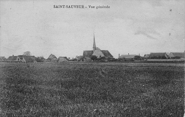
Saint-Sauveur
- commune in Isère, France
Saint-Sauveur is a charming village located in the Isère department of the Auvergne-Rhône-Alpes region in southeastern France. It's known for its beautiful natural landscapes, making it a great destination for hiking enthusiasts....
- Country:

- Postal Code: 38160
- Coordinates: 45° 9' 9" N, 5° 20' 31" E


- GPS tracks (wikiloc): [Link]
- Area: 9.42 sq km
- Population: 2100
- Web site: [Link]


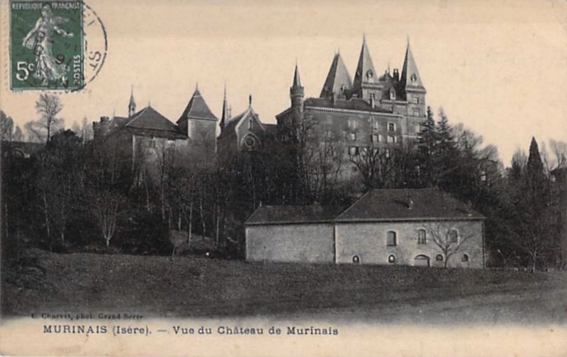
Murinais
- commune in Isère, France
Murinais is a lesser-known destination for hiking enthusiasts, offering beautiful landscapes and a chance to experience nature away from the more crowded trails. While specific information about Murinais might be limited, here are some general tips and highlights you can consider for hiking in such regions:...
- Country:

- Postal Code: 38160
- Coordinates: 45° 12' 47" N, 5° 18' 54" E


- GPS tracks (wikiloc): [Link]
- Area: 8.22 sq km
- Population: 384
- Web site: [Link]


Saint-Marcellin
- commune in Isère, France
Saint-Marcellin, located in the Isère department of the Auvergne-Rhône-Alpes region in southeastern France, is surrounded by beautiful natural landscapes, making it an excellent destination for hiking enthusiasts. The area features a mix of rolling hills, lush forests, and stunning views of the Vercors and Chartreuse mountains....
- Country:

- Postal Code: 38160
- Coordinates: 45° 9' 6" N, 5° 19' 11" E


- GPS tracks (wikiloc): [Link]
- AboveSeaLevel: 300 м m
- Area: 7.81 sq km
- Population: 8133
- Web site: [Link]

