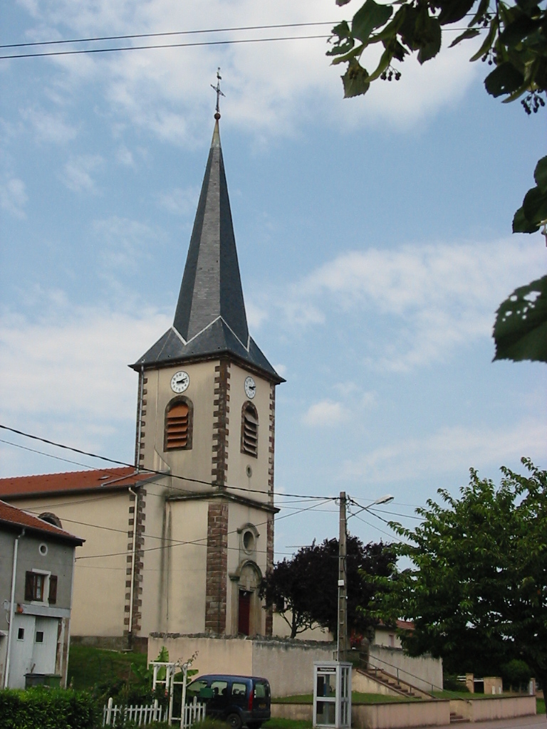
Vallois (Vallois)

- commune in Meurthe-et-Moselle, France
- Country:

- Postal Code: 54830
- Coordinates: 48° 27' 44" N, 6° 32' 52" E


- GPS tracks (wikiloc): [Link]
- Area: 7.27 sq km
- Population: 150
- Wikipedia en: wiki(en)
- Wikipedia: wiki(fr)
- Wikidata storage: Wikidata: Q1097173
- Wikipedia Commons Category: [Link]
- Freebase ID: [/m/03qdnn0]
- Freebase ID: [/m/03qdnn0]
- GeoNames ID: Alt: [6454318]
- GeoNames ID: Alt: [6454318]
- SIREN number: [215405432]
- SIREN number: [215405432]
- BnF ID: [15264610c]
- BnF ID: [15264610c]
- INSEE municipality code: 54543
- INSEE municipality code: 54543
Shares border with regions:
Seranville
- commune in Meurthe-et-Moselle, France
- Country:
- Postal Code: 54830
- Coordinates: 48° 27' 28" N, 6° 31' 0" E
- GPS tracks (wikiloc): [Link]
- Area: 5.37 sq km
- Population: 96


Moyen
- commune in Meurthe-et-Moselle, France
- Country:
- Postal Code: 54118
- Coordinates: 48° 29' 1" N, 6° 34' 9" E
- GPS tracks (wikiloc): [Link]
- Area: 23.57 sq km
- Population: 539

Mattexey
- commune in Meurthe-et-Moselle, France
- Country:
- Postal Code: 54830
- Coordinates: 48° 26' 37" N, 6° 30' 58" E
- GPS tracks (wikiloc): [Link]
- Area: 4.97 sq km
- Population: 64

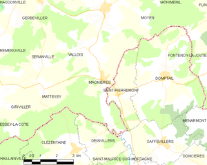
Magnières
- commune in Meurthe-et-Moselle, France
- Country:
- Postal Code: 54129
- Coordinates: 48° 26' 44" N, 6° 33' 56" E
- GPS tracks (wikiloc): [Link]
- Area: 11.58 sq km
- Population: 295


Gerbéviller
- commune in Meurthe-et-Moselle, France
- Country:
- Postal Code: 54830
- Coordinates: 48° 29' 43" N, 6° 30' 36" E
- GPS tracks (wikiloc): [Link]
- Area: 23.94 sq km
- Population: 1355