Gerbéviller (Gerbéviller)
- commune in Meurthe-et-Moselle, France
- Country:

- Postal Code: 54830
- Coordinates: 48° 29' 43" N, 6° 30' 36" E


- GPS tracks (wikiloc): [Link]
- Area: 23.94 sq km
- Population: 1355
- Wikipedia en: wiki(en)
- Wikipedia: wiki(fr)
- Wikidata storage: Wikidata: Q224346
- Wikipedia Commons Category: [Link]
- Freebase ID: [/m/03qdhnr]
- Freebase ID: [/m/03qdhnr]
- GeoNames ID: Alt: [3016264]
- GeoNames ID: Alt: [3016264]
- SIREN number: [215402223]
- SIREN number: [215402223]
- BnF ID: [152642913]
- BnF ID: [152642913]
- VIAF ID: Alt: [154772490]
- VIAF ID: Alt: [154772490]
- Library of Congress authority ID: Alt: [n80137168]
- Library of Congress authority ID: Alt: [n80137168]
- Global Anabaptist Mennonite Encyclopedia Online ID: [Gerbéviller (Lorraine, France)]
- Global Anabaptist Mennonite Encyclopedia Online ID: [Gerbéviller (Lorraine, France)]
- INSEE municipality code: 54222
- INSEE municipality code: 54222
Shares border with regions:


Haudonville
- commune in Meurthe-et-Moselle, France
- Country:

- Postal Code: 54830
- Coordinates: 48° 30' 0" N, 6° 30' 4" E


- GPS tracks (wikiloc): [Link]
- Area: 7.46 sq km
- Population: 88
Seranville
- commune in Meurthe-et-Moselle, France
- Country:

- Postal Code: 54830
- Coordinates: 48° 27' 28" N, 6° 31' 0" E


- GPS tracks (wikiloc): [Link]
- Area: 5.37 sq km
- Population: 96
Moriviller
- commune in Meurthe-et-Moselle, France
- Country:

- Postal Code: 54830
- Coordinates: 48° 28' 38" N, 6° 26' 29" E


- GPS tracks (wikiloc): [Link]
- Area: 7.24 sq km
- Population: 97


Moyen
- commune in Meurthe-et-Moselle, France
- Country:

- Postal Code: 54118
- Coordinates: 48° 29' 1" N, 6° 34' 9" E


- GPS tracks (wikiloc): [Link]
- Area: 23.57 sq km
- Population: 539


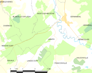
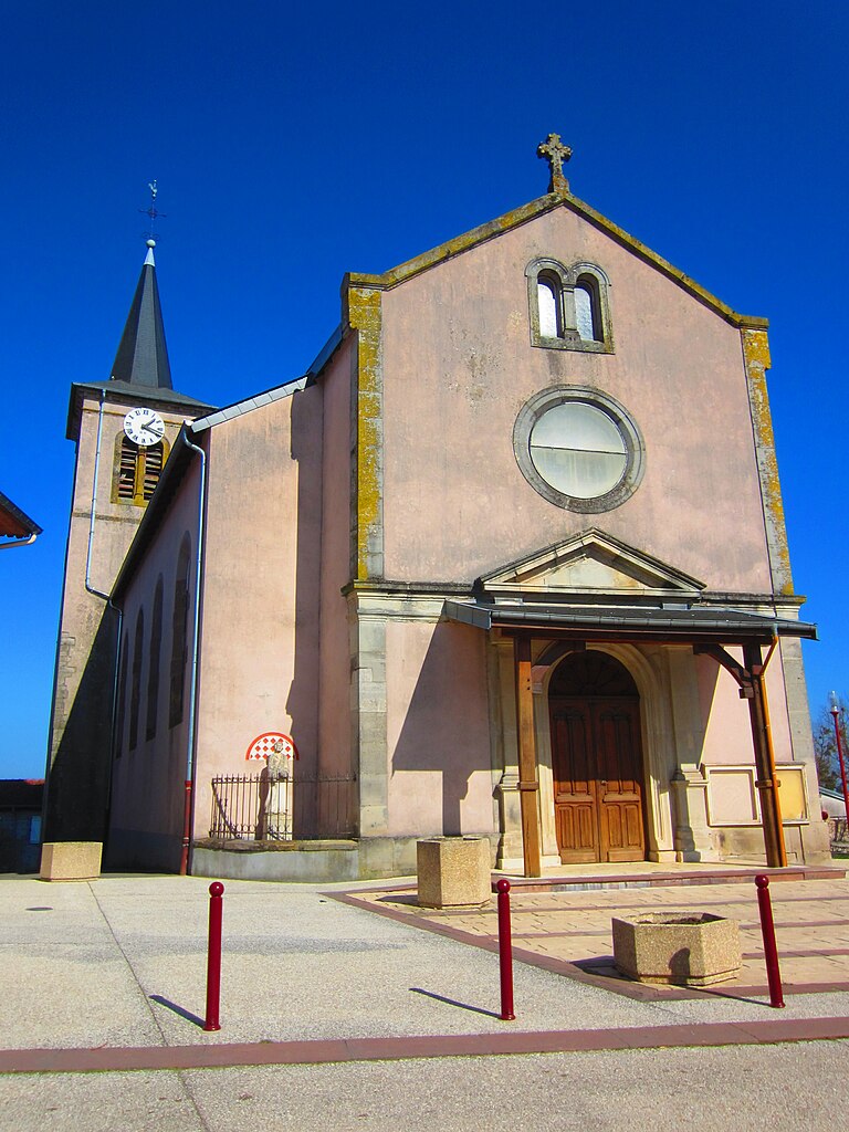
Lamath
- commune in Meurthe-et-Moselle, France
- Country:

- Postal Code: 54300
- Coordinates: 48° 31' 47" N, 6° 26' 59" E


- GPS tracks (wikiloc): [Link]
- Area: 5.6 sq km
- Population: 197


Hériménil
- commune in Meurthe-et-Moselle, France
- Country:

- Postal Code: 54300
- Coordinates: 48° 34' 1" N, 6° 29' 59" E


- GPS tracks (wikiloc): [Link]
- Area: 12.48 sq km
- Population: 956


Vallois
- commune in Meurthe-et-Moselle, France
- Country:

- Postal Code: 54830
- Coordinates: 48° 27' 44" N, 6° 32' 52" E


- GPS tracks (wikiloc): [Link]
- Area: 7.27 sq km
- Population: 150


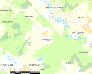
Fraimbois
- commune in Meurthe-et-Moselle, France
- Country:

- Postal Code: 54300
- Coordinates: 48° 31' 46" N, 6° 32' 30" E


- GPS tracks (wikiloc): [Link]
- Area: 15.02 sq km
- Population: 386


Xermaménil
- commune in Meurthe-et-Moselle, France
- Country:

- Postal Code: 54300
- Coordinates: 48° 31' 56" N, 6° 27' 46" E


- GPS tracks (wikiloc): [Link]
- Area: 10.84 sq km
- Population: 546
- Web site: [Link]
Remenoville
- commune in Meurthe-et-Moselle, France
- Country:

- Postal Code: 54830
- Coordinates: 48° 27' 47" N, 6° 28' 26" E


- GPS tracks (wikiloc): [Link]
- Area: 8.46 sq km
- Population: 165
