canton of Gerbéviller (canton de Gerbéviller)
- canton of France
- Country:

- Capital: Gerbéviller
- Coordinates: 48° 29' 14" N, 6° 30' 2" E


- GPS tracks (wikiloc): [Link]
- Wikidata storage: Wikidata: Q1725354
- INSEE canton code: [5413]
Includes regions:

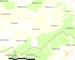
Giriviller
- commune in Meurthe-et-Moselle, France
- Country:
- Postal Code: 54830
- Coordinates: 48° 26' 37" N, 6° 29' 18" E
- GPS tracks (wikiloc): [Link]
- Area: 7.71 sq km
- Population: 71


Haudonville
- commune in Meurthe-et-Moselle, France
- Country:
- Postal Code: 54830
- Coordinates: 48° 30' 0" N, 6° 30' 4" E
- GPS tracks (wikiloc): [Link]
- Area: 7.46 sq km
- Population: 88
Seranville
- commune in Meurthe-et-Moselle, France
- Country:
- Postal Code: 54830
- Coordinates: 48° 27' 28" N, 6° 31' 0" E
- GPS tracks (wikiloc): [Link]
- Area: 5.37 sq km
- Population: 96
Moriviller
- commune in Meurthe-et-Moselle, France
- Country:
- Postal Code: 54830
- Coordinates: 48° 28' 38" N, 6° 26' 29" E
- GPS tracks (wikiloc): [Link]
- Area: 7.24 sq km
- Population: 97


Moyen
- commune in Meurthe-et-Moselle, France
- Country:
- Postal Code: 54118
- Coordinates: 48° 29' 1" N, 6° 34' 9" E
- GPS tracks (wikiloc): [Link]
- Area: 23.57 sq km
- Population: 539
Vennezey
- commune in Meurthe-et-Moselle, France
- Country:
- Postal Code: 54830
- Coordinates: 48° 26' 40" N, 6° 28' 6" E
- GPS tracks (wikiloc): [Link]
- Area: 3.43 sq km
- Population: 53

Mattexey
- commune in Meurthe-et-Moselle, France
- Country:
- Postal Code: 54830
- Coordinates: 48° 26' 37" N, 6° 30' 58" E
- GPS tracks (wikiloc): [Link]
- Area: 4.97 sq km
- Population: 64

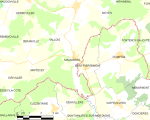
Magnières
- commune in Meurthe-et-Moselle, France
- Country:
- Postal Code: 54129
- Coordinates: 48° 26' 44" N, 6° 33' 56" E
- GPS tracks (wikiloc): [Link]
- Area: 11.58 sq km
- Population: 295

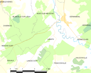
Lamath
- commune in Meurthe-et-Moselle, France
- Country:
- Postal Code: 54300
- Coordinates: 48° 31' 47" N, 6° 26' 59" E
- GPS tracks (wikiloc): [Link]
- Area: 5.6 sq km
- Population: 197


Franconville
- commune in Meurthe-et-Moselle, France
- Country:
- Postal Code: 54830
- Coordinates: 48° 29' 59" N, 6° 27' 7" E
- GPS tracks (wikiloc): [Link]
- Area: 4.56 sq km
- Population: 75

Vathiménil
- commune in Meurthe-et-Moselle, France
- Country:
- Postal Code: 54122
- Coordinates: 48° 30' 29" N, 6° 37' 26" E
- GPS tracks (wikiloc): [Link]
- Area: 12.3 sq km
- Population: 354


Vallois
- commune in Meurthe-et-Moselle, France
- Country:
- Postal Code: 54830
- Coordinates: 48° 27' 44" N, 6° 32' 52" E
- GPS tracks (wikiloc): [Link]
- Area: 7.27 sq km
- Population: 150

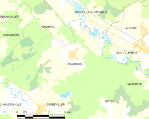
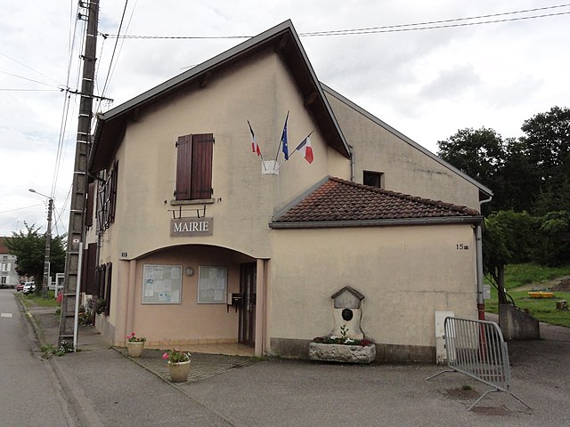
Fraimbois
- commune in Meurthe-et-Moselle, France
- Country:
- Postal Code: 54300
- Coordinates: 48° 31' 46" N, 6° 32' 30" E
- GPS tracks (wikiloc): [Link]
- Area: 15.02 sq km
- Population: 386

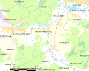
Mont-sur-Meurthe
- commune in Meurthe-et-Moselle, France
- Country:
- Postal Code: 54360
- Coordinates: 48° 33' 18" N, 6° 26' 34" E
- GPS tracks (wikiloc): [Link]
- Area: 9.51 sq km
- Population: 1114


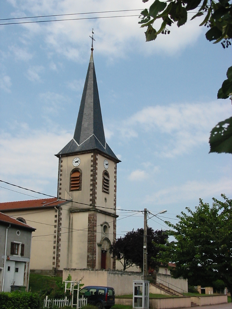
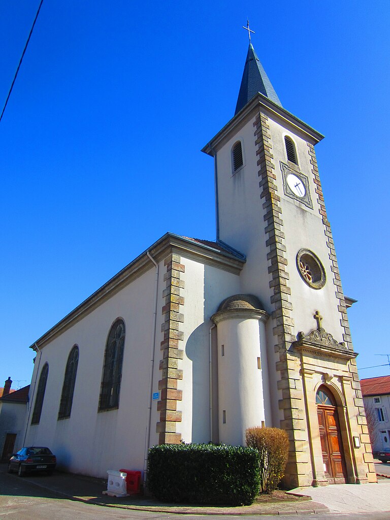
Gerbéviller
- commune in Meurthe-et-Moselle, France
- Country:
- Postal Code: 54830
- Coordinates: 48° 29' 43" N, 6° 30' 36" E
- GPS tracks (wikiloc): [Link]
- Area: 23.94 sq km
- Population: 1355
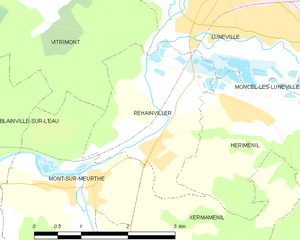
Rehainviller
- commune in Meurthe-et-Moselle, France
- Country:
- Postal Code: 54300
- Coordinates: 48° 33' 39" N, 6° 28' 8" E
- GPS tracks (wikiloc): [Link]
- Area: 5.64 sq km
- Population: 1036


Xermaménil
- commune in Meurthe-et-Moselle, France
- Country:
- Postal Code: 54300
- Coordinates: 48° 31' 56" N, 6° 27' 46" E
- GPS tracks (wikiloc): [Link]
- Area: 10.84 sq km
- Population: 546
- Web site: [Link]
Remenoville
- commune in Meurthe-et-Moselle, France
- Country:
- Postal Code: 54830
- Coordinates: 48° 27' 47" N, 6° 28' 26" E
- GPS tracks (wikiloc): [Link]
- Area: 8.46 sq km
- Population: 165


Essey-la-Côte
- commune in Meurthe-et-Moselle, France
- Country:
- Postal Code: 54830
- Coordinates: 48° 25' 28" N, 6° 28' 5" E
- GPS tracks (wikiloc): [Link]
- Area: 6.6 sq km
- Population: 84