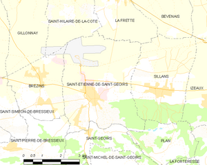
Сен-Пьер-де-Бресьё (Saint-Pierre-de-Bressieux, Saint-Pierre-de-Bressieux)

- коммуна во Франции
 Hiking in Сен-Пьер-де-Бресьё
Saint-Pierre-de-Bressieux is a charming commune located in the Isère department of France, nestled in the picturesque region of Auvergne-Rhône-Alpes. Hiking around this area offers beautiful landscapes, varying terrains, and opportunities to explore the local flora and fauna.
Hiking Trails
-
Local Trails: There are several marked hiking paths that vary in length and difficulty. These trails generally provide access to scenic views of the surrounding hills and valleys, making them perfect for hikers of all skill levels.
-
Forests and Woodlands: The area is surrounded by lush forests where you can experience nature up close. These trails often weave through dense woodlands, offering a tranquil hiking experience.
-
Cultural and Historical Sites: While hiking, you can often find sites of historical significance, such as old ruins or churches, that add depth to your hiking experience.
Best Times to Hike
- Spring and Fall: These seasons are ideal for hiking, as temperatures are generally mild, and the natural scenery is at its most vibrant with blooming flowers in spring and colorful foliage in the fall.
- Summer: It can get hot, especially in July and August, so early morning or late afternoon hikes may be more enjoyable.
Preparation
- Maps and Guides: It's advisable to carry a local hiking map or a guidebook that covers the area extensively.
- Safety Gear: As with any hiking excursion, wearing appropriate footwear is crucial, as well as bringing water, snacks, and a basic first-aid kit.
- Weather: Check the weather forecast before you set out, as conditions can change rapidly in mountainous areas.
Nearby Attractions
If you're planning a longer stay, consider visiting nearby national parks or regional natural parks, which offer even more hiking opportunities and diverse landscapes.
Overall, hiking in Saint-Pierre-de-Bressieux is a delightful way to engage with nature and enjoy the beauty of the French countryside. Whether you're an experienced hiker or a beginner, you'll find trails that suit your preferences.
- Страна:

- Почтовый код: 38870
- Координаты: 45° 18' 56" N, 5° 17' 7" E


- GPS треки (wikiloc): [Ссылка]
- Площадь: 23.08 кв.км
- Население: 766
- Веб сайт: http://www.saintpierredebressieux.fr
- Википедия русская: wiki(ru)
- Википедия английская: wiki(en)
- Википедия национальная: wiki(fr)
- Хранилище Wikidata: Wikidata: Q1068129
- Катеория в википедии: [Ссылка]
- код Freebase: [/m/03nvhkk]
- код GeoNames: Альт: [6433385]
- номер SIREN: [213804404]
- код BNF: [152582492]
- код LCNAF: Альт: [no2017093525]
- код муниципалитета INSEE: 38440
Граничит с регионами:


Брезен
- коммуна во Франции
Hiking in Брезен
Brézins is a small commune located in the Isère department in the Auvergne-Rhône-Alpes region of southeastern France. While it may not be one of the most popular hiking destinations, it serves as a great starting point for exploring the surrounding natural beauty of the region, including the stunning landscapes of the Chartreuse and Vercors mountains....
- Страна:
- Почтовый код: 38590
- Координаты: 45° 20' 57" N, 5° 18' 24" E
- GPS треки (wikiloc): [Ссылка]
- Площадь: 8.26 кв.км
- Население: 2042
- Веб сайт: [Ссылка]


Брион
Hiking in Брион
Brion, located in the Isère department of the Auvergne-Rhône-Alpes region in southeastern France, offers a variety of scenic hiking opportunities that showcase the natural beauty of the surrounding landscapes. Here are some key points to consider when hiking in Brion:...
- Страна:
- Почтовый код: 38590
- Координаты: 45° 17' 34" N, 5° 20' 18" E
- GPS треки (wikiloc): [Ссылка]
- Площадь: 3.94 кв.км
- Население: 138
- Веб сайт: [Ссылка]

Сент-Этьенн-де-Сен-Жуар
- коммуна во Франции
Hiking in Сент-Этьенн-де-Сен-Жуар
Saint-Étienne-de-Saint-Geoirs, located in the Auvergne-Rhône-Alpes region of France, is surrounded by beautiful natural landscapes that are ideal for hiking enthusiasts. Here are some highlights and recommendations for hiking in this area:...
- Страна:
- Почтовый код: 38590
- Координаты: 45° 20' 20" N, 5° 20' 43" E
- GPS треки (wikiloc): [Ссылка]
- Площадь: 18.62 кв.км
- Население: 3259
- Веб сайт: [Ссылка]
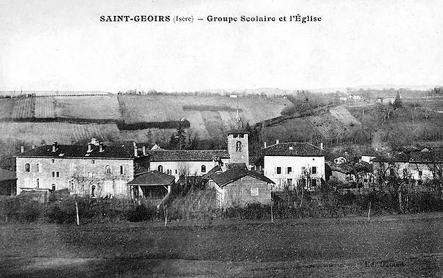

Сен-Жуар
- коммуна во Франции
Hiking in Сен-Жуар
Saint-Geoirs is a charming commune in the Isère department of the Auvergne-Rhône-Alpes region in southeastern France. While it's not as famous for hiking as some larger national parks or mountainous areas, there are still plenty of opportunities for outdoor enthusiasts to enjoy the natural surroundings....
- Страна:
- Почтовый код: 38590
- Координаты: 45° 19' 20" N, 5° 21' 17" E
- GPS треки (wikiloc): [Ссылка]
- Площадь: 6.93 кв.км
- Население: 523

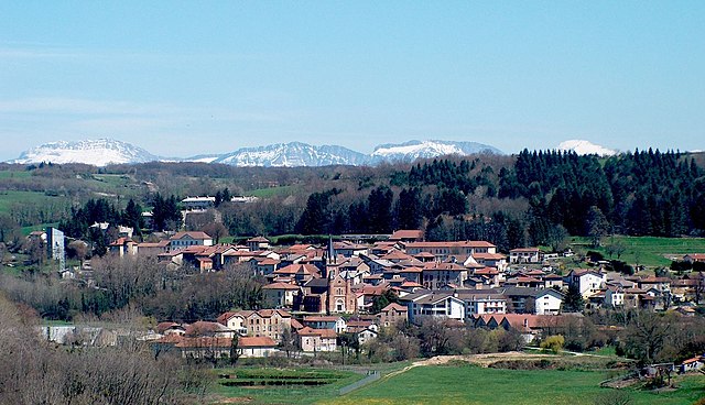
Сен-Симеон-де-Бресьё
- коммуна во Франции
Hiking in Сен-Симеон-де-Бресьё
Saint-Siméon-de-Bressieux is a charming village located in the Isère department in the Auvergne-Rhône-Alpes region of France. The surrounding area offers stunning natural landscapes, making it an excellent spot for hiking enthusiasts....
- Страна:
- Почтовый код: 38870
- Координаты: 45° 19' 42" N, 5° 15' 42" E
- GPS треки (wikiloc): [Ссылка]
- Площадь: 18.79 кв.км
- Население: 2876
- Веб сайт: [Ссылка]


Марнан
- коммуна во Франции
Hiking in Марнан
Marnans, a picturesque area known for its stunning landscapes, offers a variety of hiking opportunities suitable for different skill levels. Whether you are a beginner or an experienced hiker, the region has something for everyone....
- Страна:
- Почтовый код: 38980
- Координаты: 45° 17' 41" N, 5° 14' 14" E
- GPS треки (wikiloc): [Ссылка]
- Площадь: 6.6 кв.км
- Население: 152

Руабон
- коммуна во Франции
Hiking in Руабон
Roybon, located in the Auvergne-Rhône-Alpes region of France, offers several hiking opportunities for outdoor enthusiasts. The area is characterized by its beautiful landscapes, ranging from forests to rolling hills, making it ideal for both novice and experienced hikers....
- Страна:
- Почтовый код: 38940
- Координаты: 45° 15' 31" N, 5° 14' 39" E
- GPS треки (wikiloc): [Ссылка]
- Площадь: 67.31 кв.км
- Население: 1229
- Веб сайт: [Ссылка]

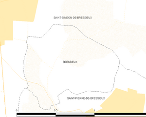
Бресьё
- коммуна во Франции
Hiking in Бресьё
Bressieux, located in the Isère department of the Auvergne-Rhône-Alpes region in France, offers a variety of hiking opportunities suitable for different skill levels and preferences. The region is known for its beautiful natural landscapes, which include rolling hills, forests, and views of the surrounding mountains....
- Страна:
- Почтовый код: 38870
- Координаты: 45° 19' 21" N, 5° 16' 36" E
- GPS треки (wikiloc): [Ссылка]
- Площадь: 0.89 кв.км
- Население: 88