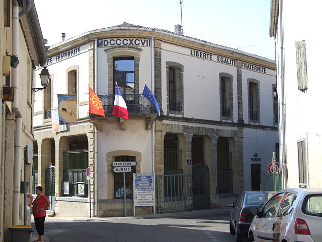
Aimargues (Aimargues)

- commune in Gard, France
- Country:

- Postal Code: 30470
- Coordinates: 43° 41' 5" N, 4° 12' 31" E


- GPS tracks (wikiloc): [Link]
- Area: 26.48 sq km
- Population: 5413
- Web site: http://www.aimargues.fr
- Wikipedia en: wiki(en)
- Wikipedia: wiki(fr)
- Wikidata storage: Wikidata: Q243915
- Wikipedia Commons Category: [Link]
- Freebase ID: [/m/02w22r0]
- GeoNames ID: Alt: [3038427]
- SIREN number: [213000060]
- BnF ID: [15254647h]
- VIAF ID: Alt: [135618527]
- GND ID: Alt: [4376500-2]
- Library of Congress authority ID: Alt: [nr92005454]
- PACTOLS thesaurus ID: [pcrtneYjgSuJUp]
- SUDOC authorities ID: [027603199]
- Objectif Gard topic ID: [aimargues]
- INSEE municipality code: 30006
Shares border with regions:


Marsillargues
- commune in Hérault, France
- Country:
- Postal Code: 34590
- Coordinates: 43° 39' 52" N, 4° 10' 37" E
- GPS tracks (wikiloc): [Link]
- Area: 42.71 sq km
- Population: 6207
- Web site: [Link]


Lunel
- commune in Hérault, France
- Country:
- Postal Code: 34400
- Coordinates: 43° 40' 37" N, 4° 8' 7" E
- GPS tracks (wikiloc): [Link]
- Area: 23.9 sq km
- Population: 25178
- Web site: [Link]

Aigues-Vives
- commune in Gard, France
- Country:
- Postal Code: 30670
- Coordinates: 43° 44' 22" N, 4° 10' 50" E
- GPS tracks (wikiloc): [Link]
- Area: 12 sq km
- Population: 3211
- Web site: [Link]


Gallargues-le-Montueux
- commune in Gard, France
- Country:
- Postal Code: 30660
- Coordinates: 43° 43' 0" N, 4° 10' 0" E
- GPS tracks (wikiloc): [Link]
- AboveSeaLevel: 64 м m
- Area: 10.89 sq km
- Population: 3669
- Web site: [Link]

Le Cailar
- commune in Gard, France
- Country:
- Postal Code: 30740
- Coordinates: 43° 40' 33" N, 4° 14' 10" E
- GPS tracks (wikiloc): [Link]
- Area: 30.01 sq km
- Population: 2401


Saint-Laurent-d'Aigouze
- commune in Gard, France
- Country:
- Postal Code: 30220
- Coordinates: 43° 38' 4" N, 4° 11' 44" E
- GPS tracks (wikiloc): [Link]
- Area: 89.81 sq km
- Population: 3458
- Web site: [Link]