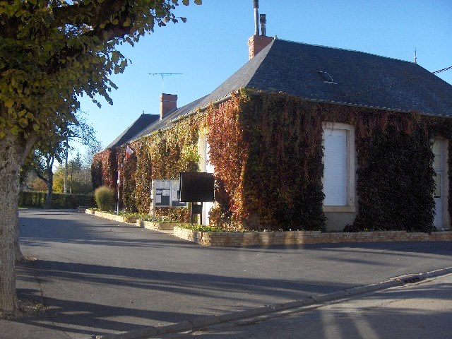
Arçay (Arçay)

- commune in Cher, France
- Country:

- Postal Code: 18340
- Coordinates: 46° 56' 54" N, 2° 20' 25" E


- GPS tracks (wikiloc): [Link]
- Area: 18.32 sq km
- Population: 516
- Wikipedia en: wiki(en)
- Wikipedia: wiki(fr)
- Wikidata storage: Wikidata: Q977801
- Wikipedia Commons Category: [Link]
- Freebase ID: [/m/03md1x5]
- GeoNames ID: Alt: [6452169]
- SIREN number: [211800081]
- INSEE municipality code: 18008
Shares border with regions:
Sainte-Lunaise
- commune in Cher, France
- Country:
- Postal Code: 18340
- Coordinates: 46° 55' 14" N, 2° 20' 54" E
- GPS tracks (wikiloc): [Link]
- Area: 13.95 sq km
- Population: 18
Saint-Caprais
- commune in Cher, France
- Country:
- Postal Code: 18400
- Coordinates: 46° 58' 6" N, 2° 17' 36" E
- GPS tracks (wikiloc): [Link]
- Area: 14.42 sq km
- Population: 772


Le Subdray
- commune in Cher, France
- Country:
- Postal Code: 18570
- Coordinates: 47° 0' 39" N, 2° 17' 40" E
- GPS tracks (wikiloc): [Link]
- Area: 20.28 sq km
- Population: 945

Trouy
- commune in Cher, France
- Country:
- Postal Code: 18570
- Coordinates: 47° 0' 37" N, 2° 21' 28" E
- GPS tracks (wikiloc): [Link]
- Area: 23.19 sq km
- Population: 3942
- Web site: [Link]
Lapan
- commune in Cher, France
- Country:
- Postal Code: 18340
- Coordinates: 46° 55' 24" N, 2° 17' 59" E
- GPS tracks (wikiloc): [Link]
- Area: 10.5 sq km
- Population: 200
Lissay-Lochy
- commune in Cher, France
- Country:
- Postal Code: 18340
- Coordinates: 46° 58' 20" N, 2° 24' 24" E
- GPS tracks (wikiloc): [Link]
- Area: 22.06 sq km
- Population: 227
- Web site: [Link]
Levet
- commune in Cher, France
- Country:
- Postal Code: 18340
- Coordinates: 46° 55' 33" N, 2° 24' 31" E
- GPS tracks (wikiloc): [Link]
- Area: 25.97 sq km
- Population: 1403